My friend Doug, who lives in the Pacific Northwest, and I have been talking about getting together for a desert backpacking trip for over a year. Doug was going to be in Phoenix for a family event and asked if I was up for a backpacking trip. Heck yes!!
I don’t backpack with others very often and one should pick their partners carefully. I’ve done three trips with Doug and he is a competent hiker, younger and a stronger walker. Plus he is just an all-around great person. So that checkbox was easily checked off.
The other thing was we would start our trip the second week of May. High temperatures can be anywhere from the 70s to triple digits. Since we started planning our trip a month in advance, we had to look at options and wait until the time was close to pick an area to hike. Also, Doug doesn’t care to hike to hot weather. I sent Doug links to several of my trip reports and Anza Borrego was his first choice followed by Joshua Tree National Park. I had a couple back-up plans in mind in case the weather was going to be unseasonably hot. In the end it was… 107F in Anza Borrego and 103F in Joshua Tree. So, we took door #3: the higher elevations of the Mojave Desert.
The Mojave Desert
This desert is nearly 50,000 square miles in size. So I’m not going to tell you exactly where we went. You see, our destination is a favorite place for Joyce and me, and it doesn’t see many visitors. One thing I’ve learned about posting stuff on the internet is that it usually results in too many people reading about it and then going there. Remote places become overrun with people and often they make a mess of the place. No, this isn’t an elitist attitude. I’ll give you some clues, feed you some red herring, and generally be evasive about the matter. But heck, you can do what I have done over the past 40 years… go visit the desert, explore it, and find your own special place. There are SO many great places to camp and hike. First hint is that we would be 60 miles from the nearest city.
So we had the location part figured out… if the weather was acceptable. Plus, I decided to take our trailer and Joyce. While Doug and I were backpacking she could relax at our “base camp.” After Doug went home, we would spend another week camping together. Perfect.
Weather
In remote areas you can’t rely on The Weather Channel or Weather Underground as they usually pick cities that are “close” to where you want to go. A better choice, and it takes some hunting and pecking, is the National Weather Service. The forecast for our base camp was highs in the 80’s and our night camp, which is around a mile above sea level (another clue for the reader), would have daytime highs in the 70s. Perfect!
Route
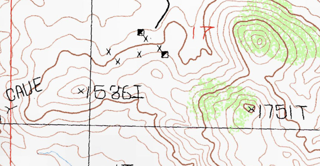
Being familiar with the area, it was easy to pick an interesting loop. Like scotch, wine, or beer the desert is an acquired taste. Doug had never backpacked in the desert and I wanted to make it as fascinating for him as possible. Aside from canyon country, desert navigation is fairly straight forward. Navigation would be easy and our route would provide plenty of time and opportunity to get side tracked and explore over two days. Looking over the topo maps I found an interesting item. It wouldn’t be near our route, but would be a nice place to visit the day after we returned.
On the far left of the map is a cave… just begging to be explored!
Water
In most deserts water is the overriding main concern. It trumps weather and terrain. Any water sources (springs, creeks, water tanks) must be verified in advanced. Maps are not a verification source. Our only source of water would be at our night camp – a highly reliable source – as in 99.9% reliable. Alas, I checked and there was no water. So the day before Joyce and I would drive out along a couple dirt roads and cache 3 gallons of water.
The planning phase was complete.
Preparation
Sunday afternoon I returned home from a short backpack to the GGG So Cal Edition. I repacked my gear into my McHale Bump pack leaving out a few items I wouldn’t need.
Monday morning I retrieved our camper from the storage yard, did the usual pre-trip inspections, and loaded it up with food and water.
Tuesday morning we headed out for our base camp.
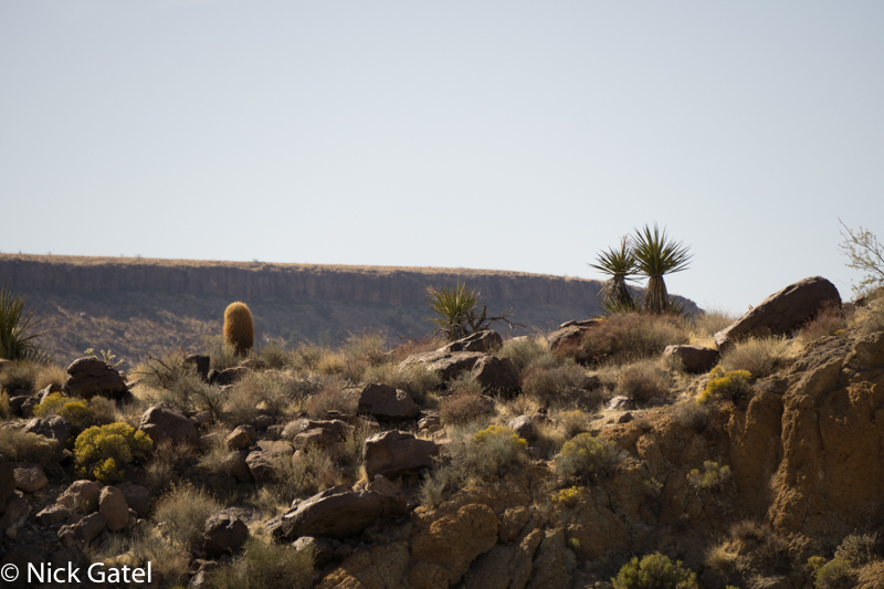
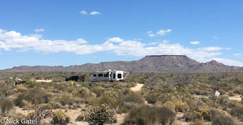
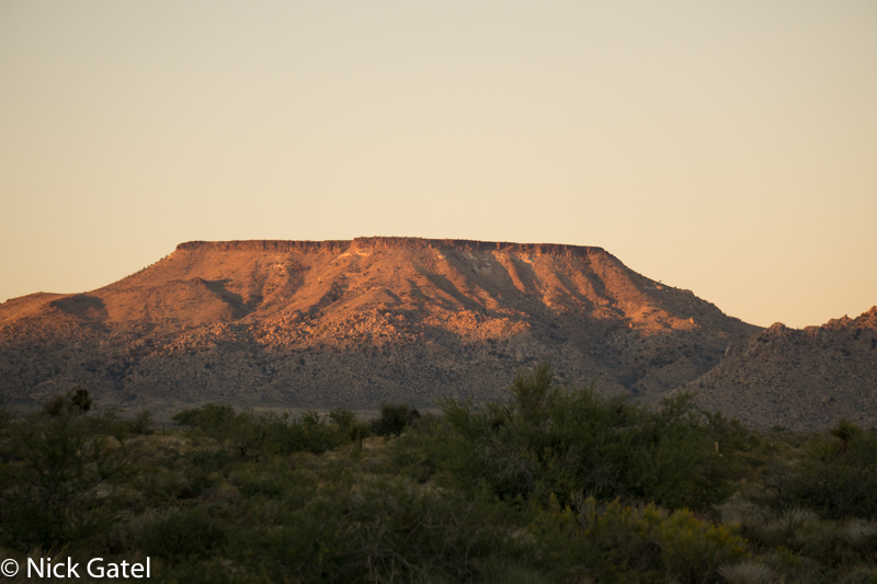
Our base camp sits beside a wash in a wind-swept alluvial plain populated by sagebrush and blackbrush scrub, stunted yuccas and the occasional cholla. In the distance standing tall is a plateau, an American southwest version of Illion overlooking the plain of Scamander. Just as the ancient bard described it, our camp was lovely but windy. Here wind is an almost constant presence. And when it isn’t windy, there is usually a breeze.
Day 1
8:30am and a reasonable time to begin an adventure. We say our good-byes to Joyce and Corky the Wonder Dog and head out.
Geology
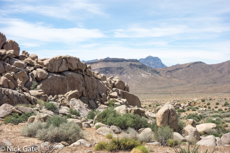
Soon we leave the sandy desert and are picking our way up a small promontory that is littered with volcanic rock (actually extrusive igneous rocks). Extrusive igneous rocks are formed when molten magma is expelled from a volcano and the magma cools quickly on the surface of the earth.
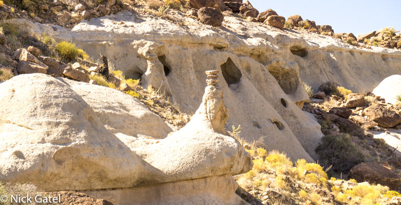
As we head down from the promontory we see these interesting formations that were formed from volcanic ash. Ejected ash from a volcano is compacted over time creating these rocks that are called tuff.
Navigator Decision Time
We left the tuff formations behind and walked towards a wide wash in an even wider valley. We would be traveling cross country in a somewhat straight line when we are not navigating around large barriers or being distracted by anything that begs to be explored. In the middle of this large valley are some hills rising several hundred feet above the valley. We can go straight ahead, skirting the hills; or we can walk through the hills and inspect a mine and a spring that are on our map. Common sense prevails and we both agree that the mine and spring are the best choice even though I tell Doug that the spring is probably dry. Locating a dirt road we are soon at the mine where the road ends and becomes a little used trail.
The mine (two shafts) had been sealed off years ago by the Bureau of Land Management. Close by are an old well and a windmill driven water pump adjacent to an old metal cistern (water tank). Between the water tank and mine shafts is some sort of shallow holding pond made from cement and below that is what appears to be a wooden sluicing trough that was probably used to separate gold from gravel. No, we didn’t find any gold. But the windmill attracted our attention. I explained to Doug that these wind mills have brakes to shut down the windmill and the pump. In high winds the windmill can be damaged if it continues to spin and the brake stops the windmill from turning. Also, since the whole apparatus is mechanical, the brake would be applied when the water tank was full and no additional water was needed.
I decided to see if the windmill would work, knowing that it probably wouldn’t pump any water, as the underground aquifer in this area has dropped considerably over the years and these old wells are no longer deep enough to reach the water table. Bolted to the windmill tower was a simple wooden handle, just like the center console emergency brake handle in many cars. Attached to the handle was thick solid metal cable that went to the top of the windmill. I pulled the handle up and the windmill spun around as it caught the wind and the blades began to spin. Cool, but probably no water. Not wanting to cause any damage, I pulled the wooden handle back down and everything stopped moving.
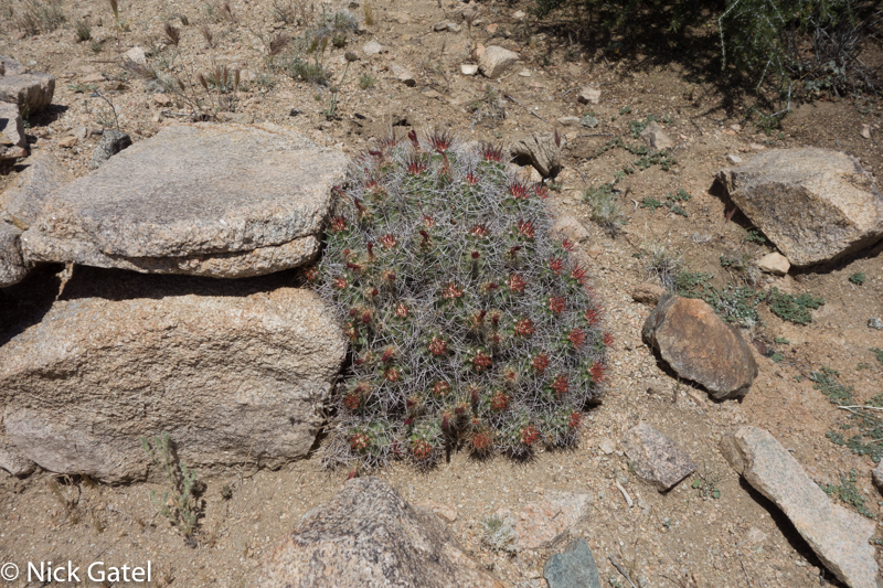
We wandered around a bit above the mine site for a while and then headed in the direction of the spring. Desert dry springs are usually difficult to find, except in where ranchers or miners have implemented “improvements” to the area. This was the case with the spring we were looking for. We found some pieces of tin metal on the ground, and looking up a slope, saw the remnants of a rock and mortar dam. About 50 feet above the now defunct dam, further up the slope, there was a large pipe sticking out of the ground below a rock formation – obviously the spring on our map. Instead of taking pictures of the dam or pipe, this cactus growing next to some rocks that formed the outer edge of the dam was more interesting.
It was time to move on. Walking up a trail to a small pass in the hills we were soon above the valley floor and in the distance could see the ridge where we would make our night camp and hopefully find our water cache intact. Our trail ended right here; both on our map and on the ground. It was easy to continue on, but one must wonder why a trail would continue on for about a half mile past the spring and just end.
New Challenges
In many parts of the Mojave Desert there are still small cattle ranches in operation and we knew we would probably run into cattle. Or at least I knew – I think I had told Doug this. Anyway, many areas in the western states permit grazing on public lands. Paid permits are required and the grazing requirements and enforcement are managed by either the US Forest Service or the Bureau of Land Management (BLM), whichever has administrative jurisdiction over the land. Some public lands that are administered by the National Park Service allow grazing and in these instances the BLM will manage the grazing and permitting process.
I know very little about cattle, other than they are huge and probably have tiny brains. Having encountered them for 50 over years on public lands, I just make a wide detour around them and am alway cautious, just in case. Usually when they see me they move away. As we descended the hills we ran into a few head of cattle and then a stout barbed wire fence. On the other side of the fence were a few more head of cattle. Seems like the fence isn’t working. We generally ignored the cattle and turned our attention to photography.
Flowers
It was late in the season for wildflowers, but there was enough to want to stop and take pictures.
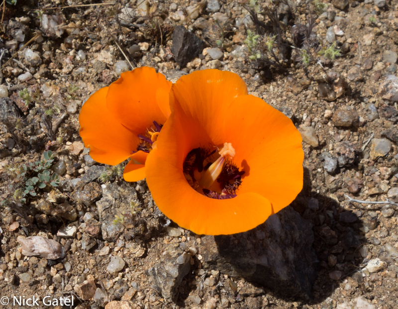
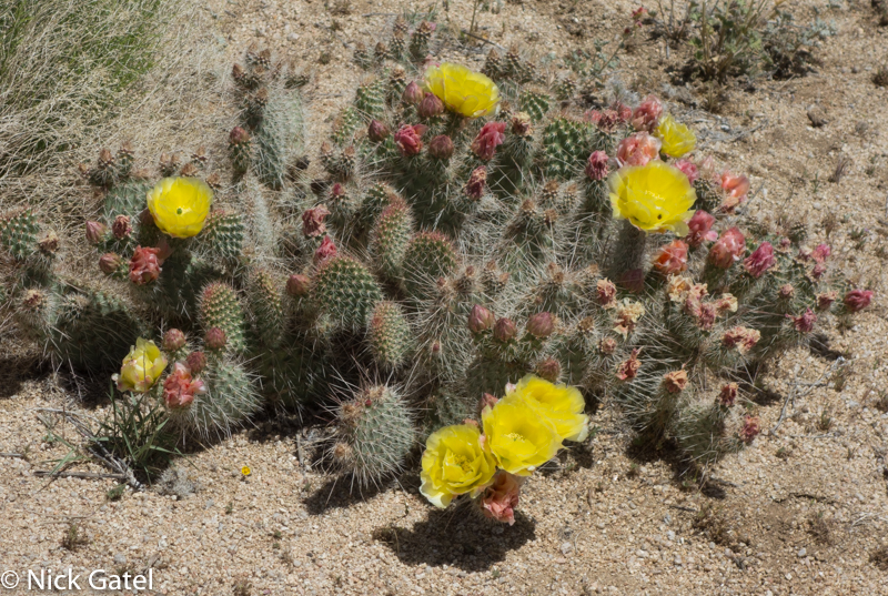
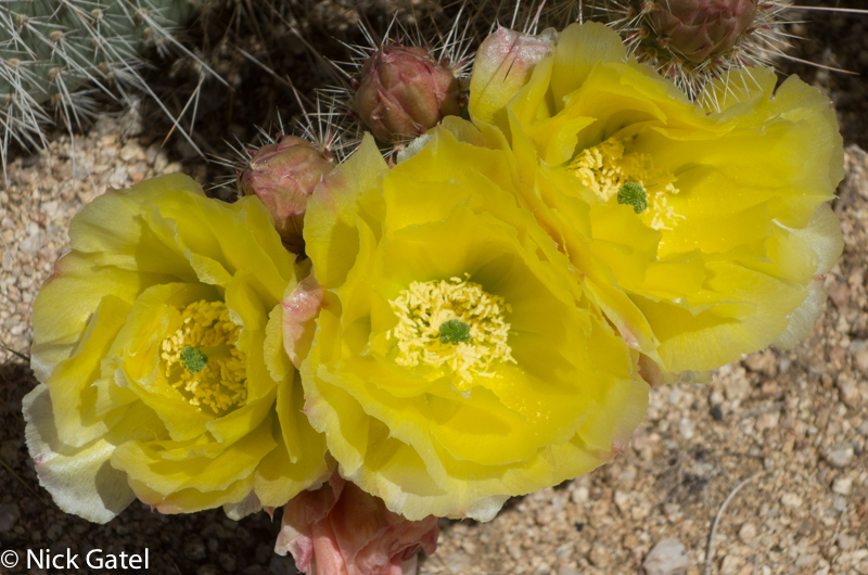
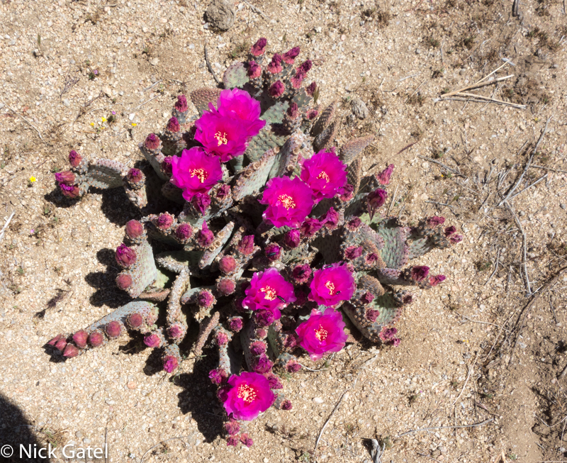
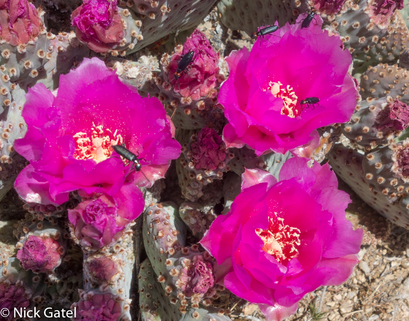
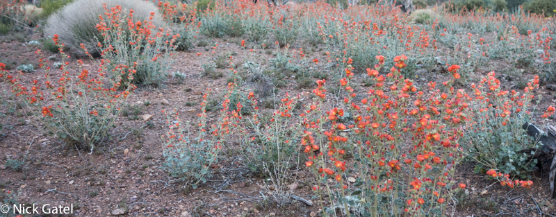
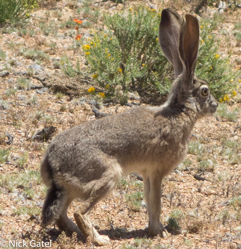
If one stops in the desert to take pictures, they will probably see one of more of these:
Night Camp
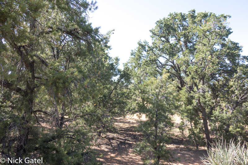
Our destination was just below a long ridgeline. Over the day, we had been gaining a bit over 200 feet of elevation per mile. Now we were about a mile above sea level and entered a nice shady juniper and pinyon pine woodland area. Our water was quickly retrieved. Doug didn’t sleep well the night before – remember our base camp was in a lovely but windy place – the wind had kept waking him up during the night. So he set up his shelter and took a nap while I explored the area.
After dinner we sat around a talked, and then went to bed. It had been a great day.
Day 2
I hate covering the same real estate twice, so our route back to base camp was different and would enable us to complete a nice loop. Not only was the route different, so was the landscape. We would be hiking on a trail too. Trails in deserts are fairly uncommon and often disappear when they traverse washes or rocky areas. We didn’t need to follow a trail, but it was there.
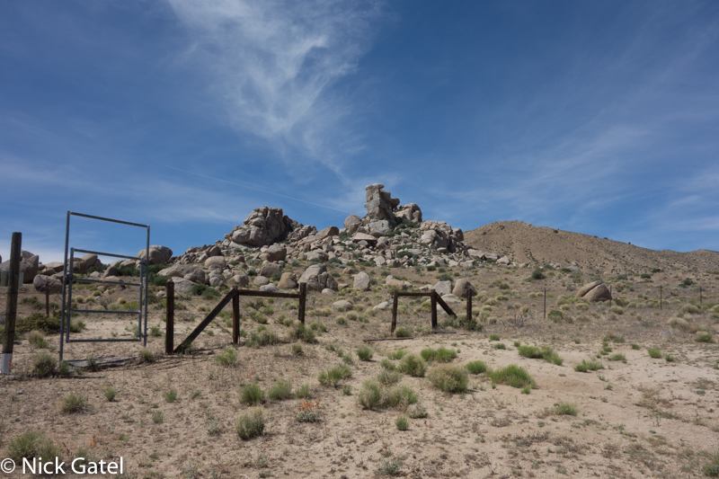
Remember the barbed wire fence from day 1? This time we found a gate and didn’t have to crawl under the wire.
Boulders
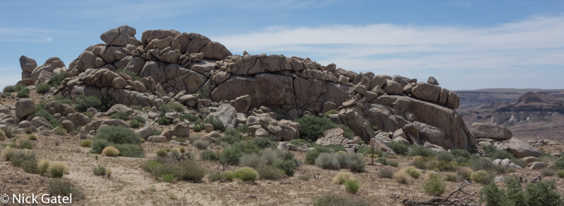
Remember, earlier in this post, I discussed volcanic rocks (extrusive igneous rocks)? When people think of rocks in the desert they usually see these big boulders in their mind’s eye, similar to what Joshua Tree National Park is famous for. These boulders are intrusive igneous rocks. Unlike extrusive rocks that are formed when volcanoes spew magma, intrusive rocks are formed when the magma escapes a magma chamber and moves up near the surface of the earth, cooling much slower than extrusive rocks. Erosion from wind and water eventually removes the dirt and sand from the rocks, exposing them.
The Final Approach Home
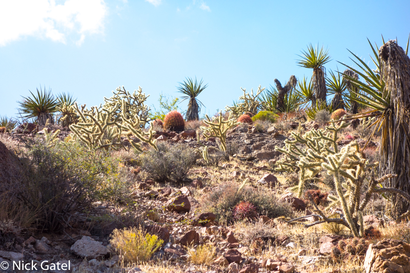
I planned this trip so we would end the trip by walking through an area I call the Desert Cactus Garden. There are so many species of cacti is a small area that one wouldn’t be surprise if they were told a landscape architect designed it. Sorry… Mother Nature designed it.
Reward at Base Camp
The plan was for Doug to spend the night in our trailer with us at base camp and the following morning we would go find the cave.
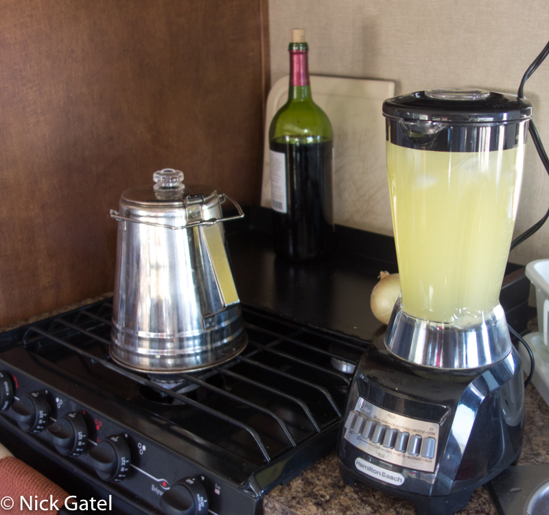
Our trailer is self-contained for long trips. With a 100 gallon freshwater tank and a large solar system we can camp for several weeks. We were both looking forward to taking a nice shower at base camp, but better yet was Joyce’s chef d’oeuvre…
… yes we had ice, a blender, solar power, tequila, and the ingredients to make a MARGARITA!
We continued our adventure the next day. Click the link to read about, Doug Finds the Cave.

