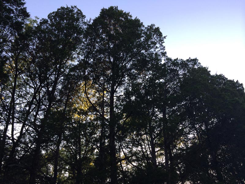
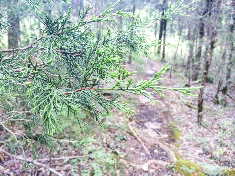
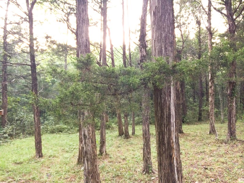
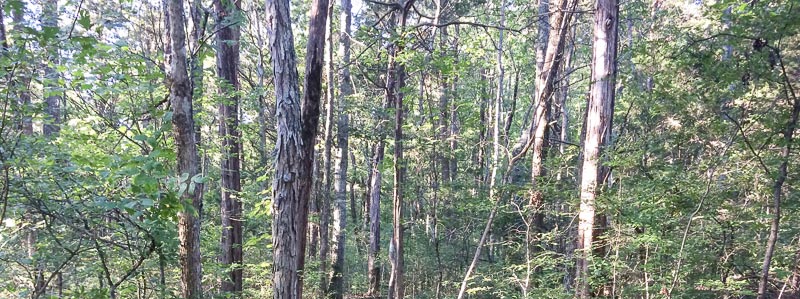
Last week I backpacked the Cedars of Lebanon
I have read that the mountains of Lebanon were once heavily forested with cedar trees. Over the course of thousands of years, the harvesting of timber by several civilizations over the centuries has decreased these forests. It is said the even King Solomon used Lebanese Cedar to build his temple.
After returning from our little trip to Lake Mead, the next morning I was on an airplane headed east. A last minute change in plans had me flying into Nashville for a meeting.
With all my business travel there is no time to actually plan the hikes I do when I combine business with recreation. So on most business trips I take my backpacking kit with me and once on the ground figure out a good place to walk. Many of my backpacking trips on these business excursions are sub-24 hour overnight affairs. Sometimes I also get out for 3 or even 4 nights.
One difficulty with frequent air travel is that I don’t always have an accurate perception of distances or even geography – I fly to a city I have never been to before, rent a car and travel using GPS. Let’s take the trip I just did. I know where Tennessee is. I also know that
- it is east of Arkansas
- west of North Carolina
- south of Kentucky and Virginia
- it shares its southern border with 3 other states – Mississippi, Alabama, and Georgia
- I know that Memphis is in the southwest corner of the state
- and Nashville is somewhere in the center of the state closer to the northern border
- I have no concept or feel to mileage and distance — I have never lived there
On the plane, it hit me that the Appalachian Trail (AT) straddles the border of Tennessee and North Carolina and right where this border and the trail touches Virginia is an area known as the Roan Highlands. An area I have not hiked, and one of the more scenic parts of the AT. So on the plane, I tentatively decided to head up to the Roan Highlands.
Upon landing, a quick check of a map, and I realized I don’t know my Tennessee geography very well. Distance and logistics to travel to the AT, do a section hike, and meet my other commitments wasn’t going to work. No great disappointment though… the Roan Highlands probably deserve more time and some extra exploration of the AT anyway.
CEDARS OF LEBANON STATE FOREST
I began studying my large state map for another option. And there it was, The Cedars of Lebanon State Forest, maybe 15 miles from the Nashville airport.
I won’t go into a long story about the history, but early settlers in the area thought the eastern red cedar trees reminded them of the Cedars of Lebanon, so that is what they named the place.
Even more inaccurate, these eastern red cedar trees, as they are still known by their common name, aren’t even cedars – they belong to the Juniper family.
RED CEDARS, JOHN MUIR, AND PENCILS
You may remember my posts, last year, about finding a suitable pencil to take on the John Muir Trail and the solution. Well this backpacking trip ties it all together – sort of.
In 1867 Muir walked from Indiana to Florida, a distance of 1,000 miles. Once in Florida, he worked in a lumber mill that processed eastern red cedar, which was used to manufacture —- you guessed it —- pencils!
Red cedar is common throughout much of the eastern U.S. It is a prolific grower, actually an invasive tree, similar to the tamarisk. Red cedar can grow in shallow soils that typically cannot support other trees.
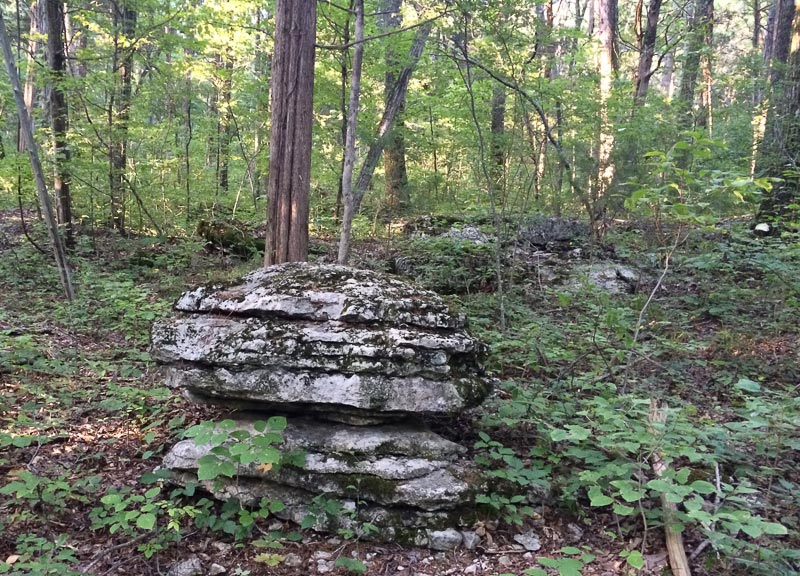
Tennessee’s Cedars of Lebanon State Forest has many areas called cedar glens. These are meadow-like areas where a thin layer of soil covers the limestone bedrock, which is then surrounded by red cedar – the only tree that can grow in the shallow soil.
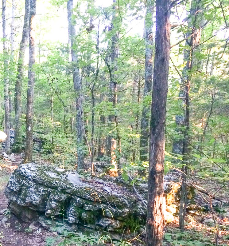
Moving away from these glens one will then see hardwood forest with red cedar intermixed.
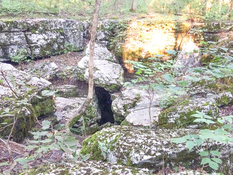
Another cool feature are the numerous sinkholes, where water creates and flows through the limestone bedrock.
WHAT YOU GET OUT OF A HIKE, OR WHAT YOU DON’T GET OUT OF A HIKE IS ENTIRELY UP TO YOU
When I am traveling to a new place with no knowledge about backpacking opportunities – basically “playing things by ear” it can be difficult to find that perfect place to hike. Although, I have been highly successful in finding places conducive to good backpack trips most of the time.
Cedars of Lebanon State Forest has no grand vistas, no scenic creeks, streams, rivers, or waterfalls. Aside from a couple nature trails in the state park area, there are no maintained trails.
The entire Cedars of Lebanon State Forest is made up 3 sections:
- The western section is called the State Forest Natural Area (approx. 1,000 acres)
- The center is the State Park (approx. 800 acres)
- The eastern section is called the State Forest (a little over 7,200 acres)
I was able to do a figure 8-trip through all 3 areas. Some of it was cross-country, some dirt roads, and a small road walk to get from the State Park to the Natural area. I saw no other hikers.
With the proper attitude, hiking a place that is not scenic to most people can truly be enjoyable. Instead of grand vistas and similar eye candy, one can turn their focus to the micro-world. Concentrating one’s attention to plants, trees, tree root formations, insects, rocks, birds, and animals can make most wild places exciting and fun. This was my trip’s single-mindedness.
Perhaps this is not the place for most to backpack, but if you only have a day or two you can piece together a nice little adventure.
