A WEEKEND HIKE TO ASSESS THE SAN JACINTO FIRE DAMAGE
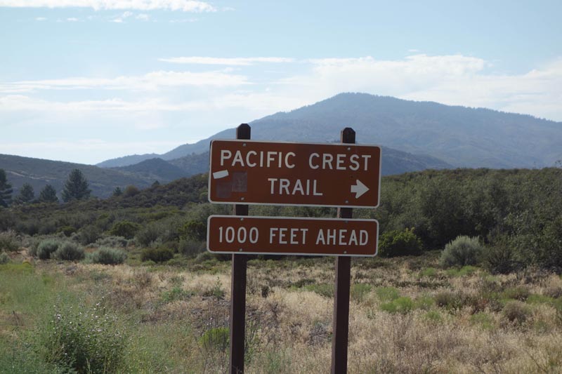
In the summer I do a lot of hiking on the Pacific Crest Trail south of the San Jacinto Wilderness. Because it is hot this time of year and there is little water available, most hikers avoid this part of the trail. Since this area is usually 20 degree cooler than where I live, and there are few hikers, it is an excellent destination for me.
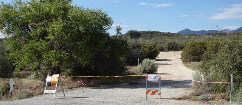
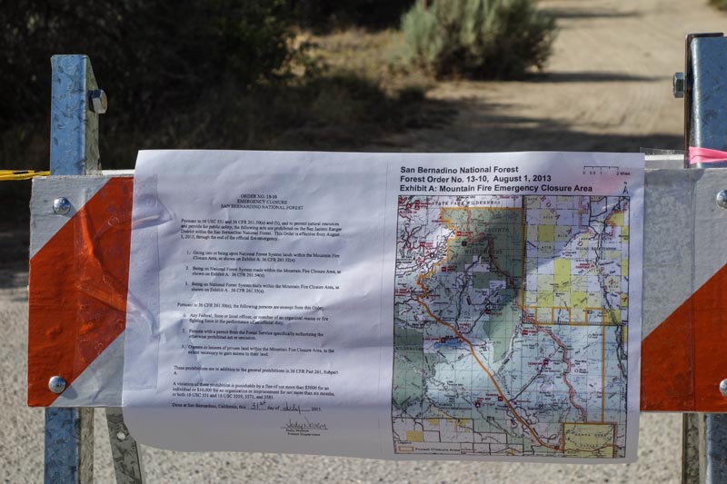
Unfortunately most of this section was burned in the San Jacinto Fire a couple weeks ago. Right now the PCT is closed from Highway 74 north, past the San Jacinto State Park Wilderness, a 50 mile long section of trail. From what I could see on this hike, and the fire I observed from my house a couple weeks ago, I would not be surprised if this section (or parts of it) are closed for several years.
Actually I really didn’t do this trip to analyze the damage, but to simply go hiking. Because I am familiar with the area I was able to put together a long loop with plenty of scenic vistas without going into the large area that is now off limits to the public. The damage I did see was disheartening.
HIKING FOR FUN
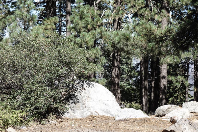
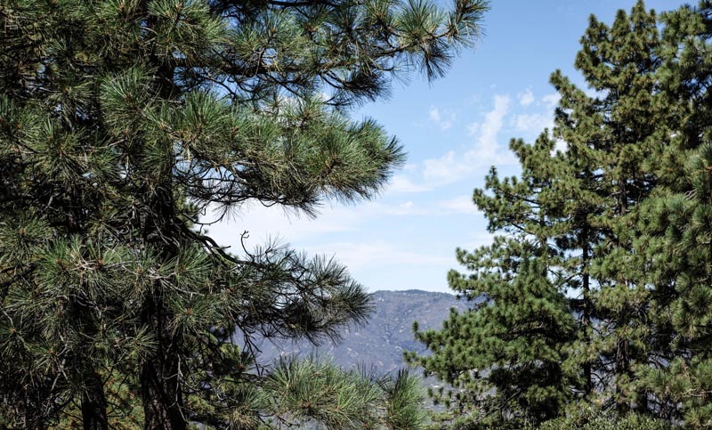
I headed away from the burn areas to a place I enjoy. There would be no thoughts of the fire but a focus on moving up through the high desert until I would gain altitude above 7,000’ and enjoy a pine and fir forest.
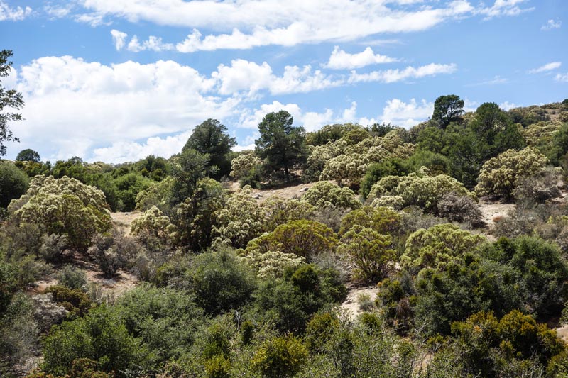
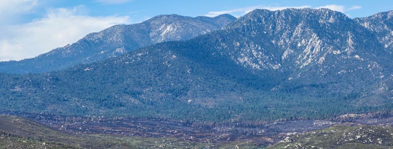
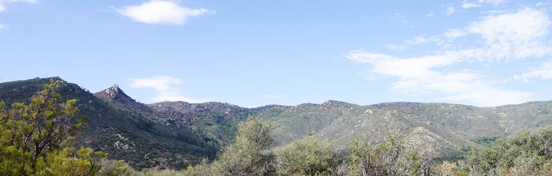
DESCENDING TOWARDS THE SAN JACINTOS
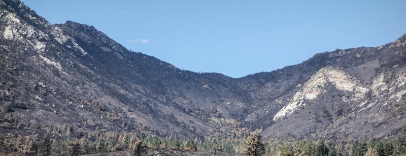
Above: Fire Damage can be seen in the center of the picture.
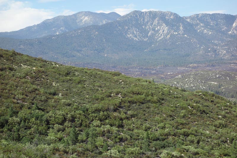
Above: The fire moved (Bottom, L to R) from Bonita Vista, May Valley, K-Flat and Apple Canyon. It doesn’t look bad. Unfortunately once it hit Apple Canyon it moved quickly up the mountain.
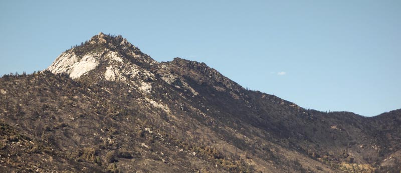
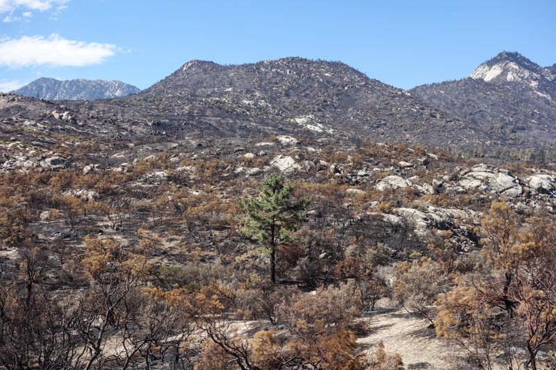
APPLE CANYON
About a mile up the canyon there was a sign, like the one at PCT/HWY 74 junction warning that the area was closed to hiking. So I kept to the road and about a mile further the burn area began. It appears that the fire moved down from Bonita Vista to May Valley to K Flat, turned up the canyon towards South Peak, Antsell Rock, Apache Peak, Spitler Peak, attained the ridge and burned the ridgeline all the way south close to the junction of the Cedar Springs Trail and the PCT. Of course I could not see over the ridge, but I know the fire had moved down the mountain towards Palm Springs. What I saw confirmed the fire did considerable damage. I didn’t have the heart to continue to the Zen Center and the Spitler Peak Trail Head.
It appears the fire consumed all the trees on the ridges.
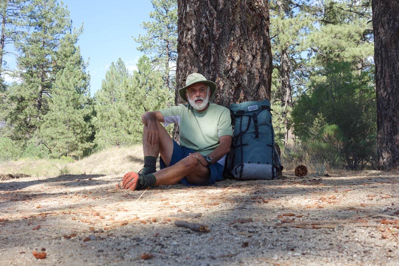 Above: Reflecting after the hike back down Apple Canyon.
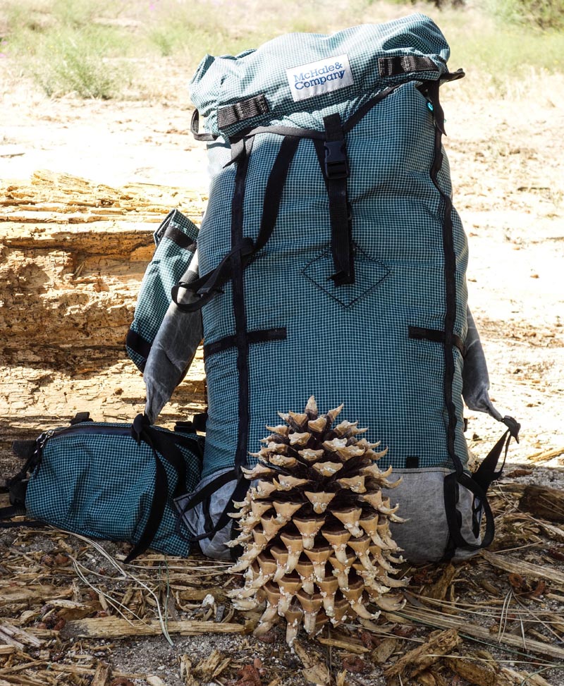
Above: A pine cone from a Coulter Pine.
These are the largest pine cones in the world, weighing up to 10 pounds each and can grow close to 16 inches long. You don’t want to sleep under a Coulter Pine and have a 10 pound pine cone hit you on the head. The Coulter Pine only grows in the coastal mountains of Southern California and Baja Mexico, although a few small groves can be found near San Francisco.
MORRIS RANCH ROAD TO CEDAR SPRING TRAIL
Leaving Apple Canyon I headed south. I really wanted to hike to Fobes Saddle, but a lot of the area is in the burn area and travel from Fobes Saddle back to my starting point would have been difficult terrain. I stayed outside the burn area and reaching Morris Ranch Road headed up towards the Cedar Spring Trail (which is also closed).
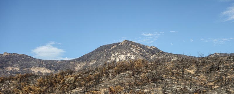
 Above: The fire moved south towards the Junction of the Cedar Spring Trail and the PCT.
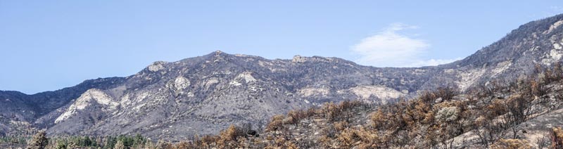
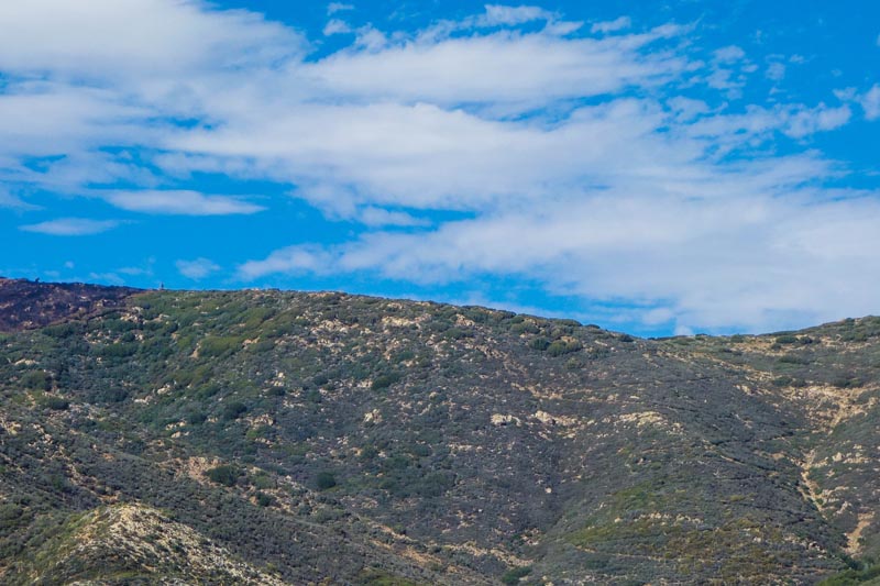 Above: The fire along the ridge stopped on the left side of the picture. The dip in the ridge on the right side of the picture is the junction of Cedar Springs Trail and the PCT. You can make out the switchbacks of the Cedar Springs Trail coming down from the mountain. Where the fire stopped is where the Manzanita “forest” thins out. The trail is thick in Manzanita bushes over 6 feet tall that run almost all the way to Fobes Saddle. The fire stopped on this ridge probably because of the thick forest on the other side of the mountain providing much more fuel for the fire, and I am fairly certain it probably destroyed the Incense Cedar grove at Cedar Spring which is less than a mile down the other side of the mountain.