Dad’s Christmas Vacation 2008
FOR NICOLE AND JOE
Backpacking Lake Mead Recreation Area
This trip report covers a 4 day hike I did at the end of December, 2008. At the time, it had never occurred to me to document one of my trips. I did bring a camera on the trip, but really didn’t plan on taking many pictures.
The reason I decided to document the trip, is because it was a turning point for me to truly go “ultralight” on every trip (winter snow trips excepted) from that point forward. On this trip my pack base weight was less than 18 pounds. Base weight is everything in your pack except consumables such as food, water and fuel. In the backpacking world that is categorized as “light.” I have always been a light backpacker, versus the traditional backpackers whose base weight is over 20 pounds, often over 30.
Prior to this trip I had done many trips in the “ultralight” range, which is a base weight under 10 pounds. The reason I carried more weight on this trip was due to the fact that I would be traveling alone and mostly off trail. The terrain would include lots of travel in, over, and out of canyons. Lots of rocky terrain, and there would most likely not be any water sources during the first two days. I would need to carry almost 17 pounds of water at the start of the hike.
Upon completing the trip, I was certain that and ultralight kit would be just as safe, maybe even safer – one is more sure-footed the lighter the pack. I would do a similar trip the next year in the same area and my gear was considerable lighter. (see Dad’s Christmas Vacation 2009)
The important fact about going ultralight is not about weight; it is about experience and skill. Reducing weight is about knowledge and applying that knowledge to everything you do. You no longer need to carry much gear “just in case” something happens, but you need gear based on the expected conditions. Additionally, the lighter you go, the faster and further you can travel in a day and that often means less water for to carry. Water can get heavy and boring quick!
Here is a comparison:
Trip Preparation
Joyce and had planned to spend the last two weeks of December at Lake Mead in our camper. I decided to take a 4 day backpacking trip and it would give Joyce a chance to visit her mother in Las Vegas. I didn’t have time at home to plan a route and decided to stop the the Lake Mead visitor center and get some maps. At the center I looked over a large map of the area and then bought some topographical maps for the areas that interested me. I then laid out a route while we were at the campground in our camper. This is what I came up with:
- Day 1 I would hike up a wash to what looked like a small slot canyon; or more precisely a “narrow.” Hopefully I would be able to hike through it, and not over. Once I got out of this slot, I would continue up the wash for a coupe miles. At this point I would head up and over a mountain and then descend into a red rock area called the Bowl of Fire. I would spend the night in the Bowl.
- Day 2 I would hike eastward and then enter the Pinto Valley. From here I would work my way down to Lake Mead, where I would need to get water. This would mean almost two full days without a water re-supply. I would spend the night near my water re-supply.
- Day 3 I would hike along the shore of Lake Mead and explore some side canyons. Again I would spend the night on the shore of the lake.
- Day 4 I would hike away from the Lake and meet Joyce at the designated pick-up point in the late afternoon.
Day 1
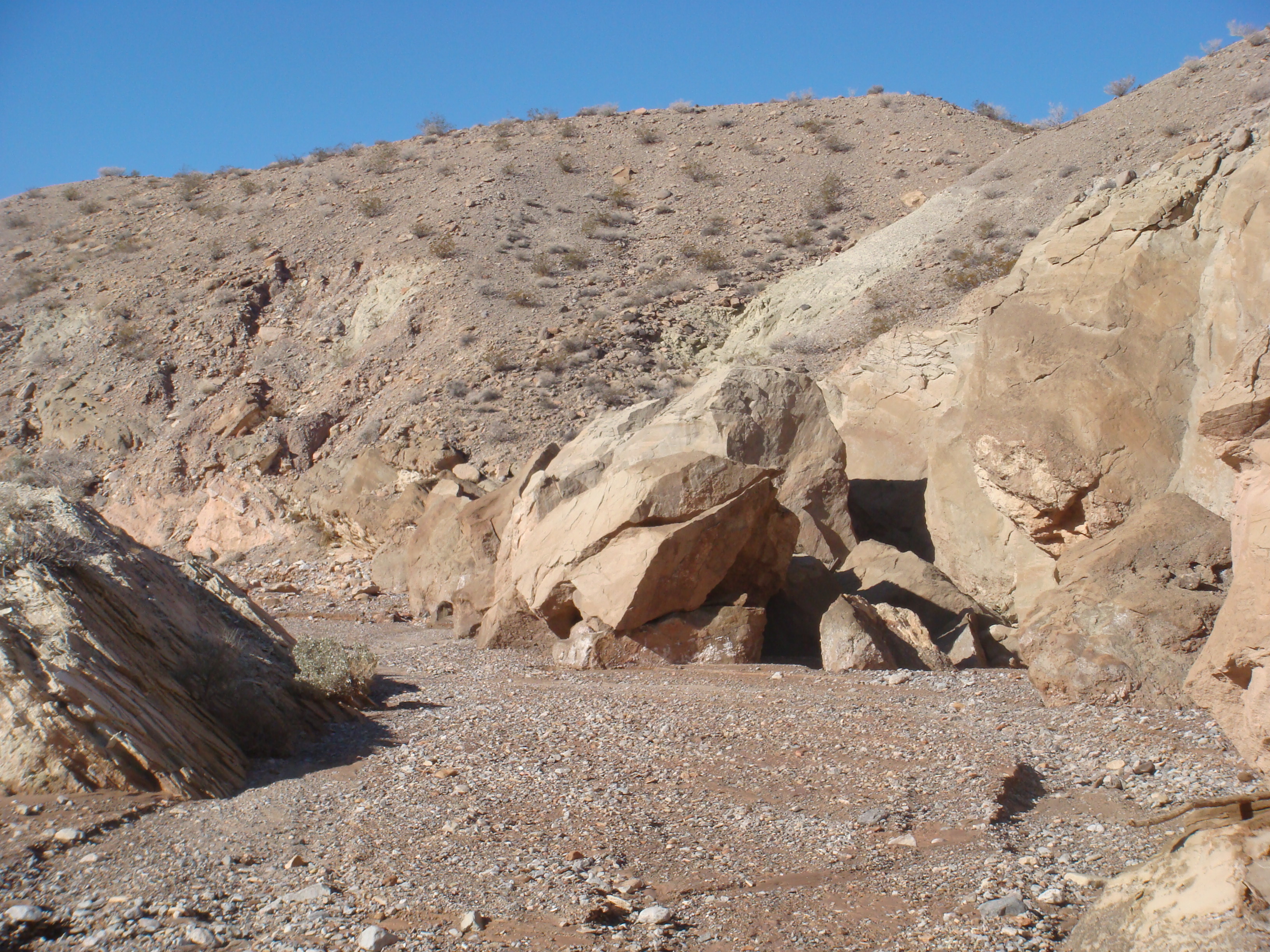
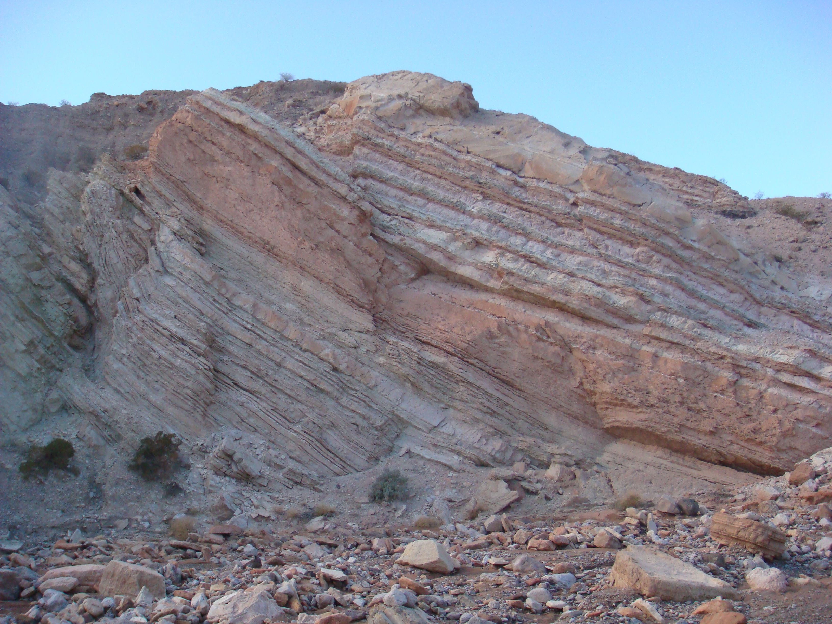
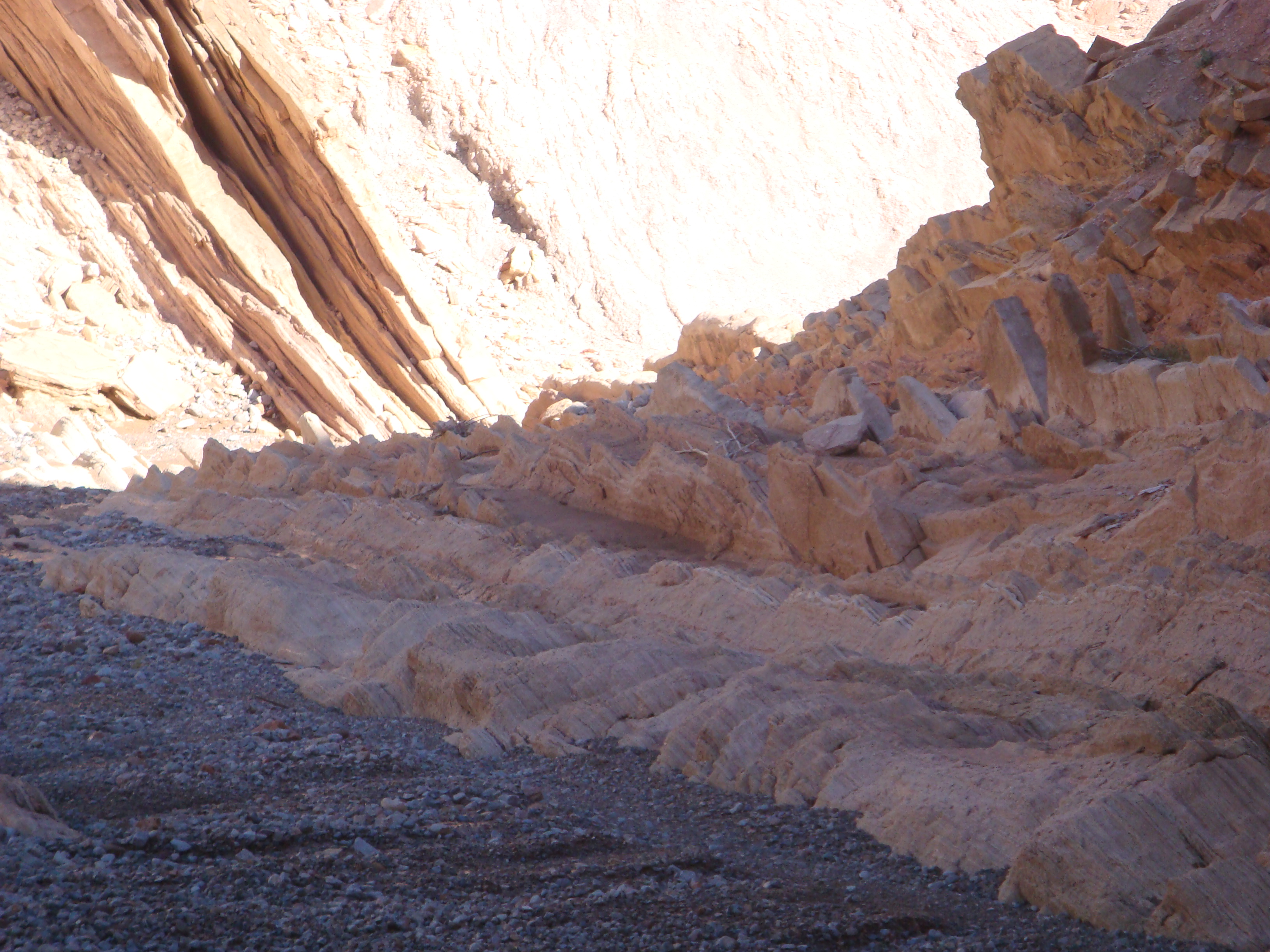
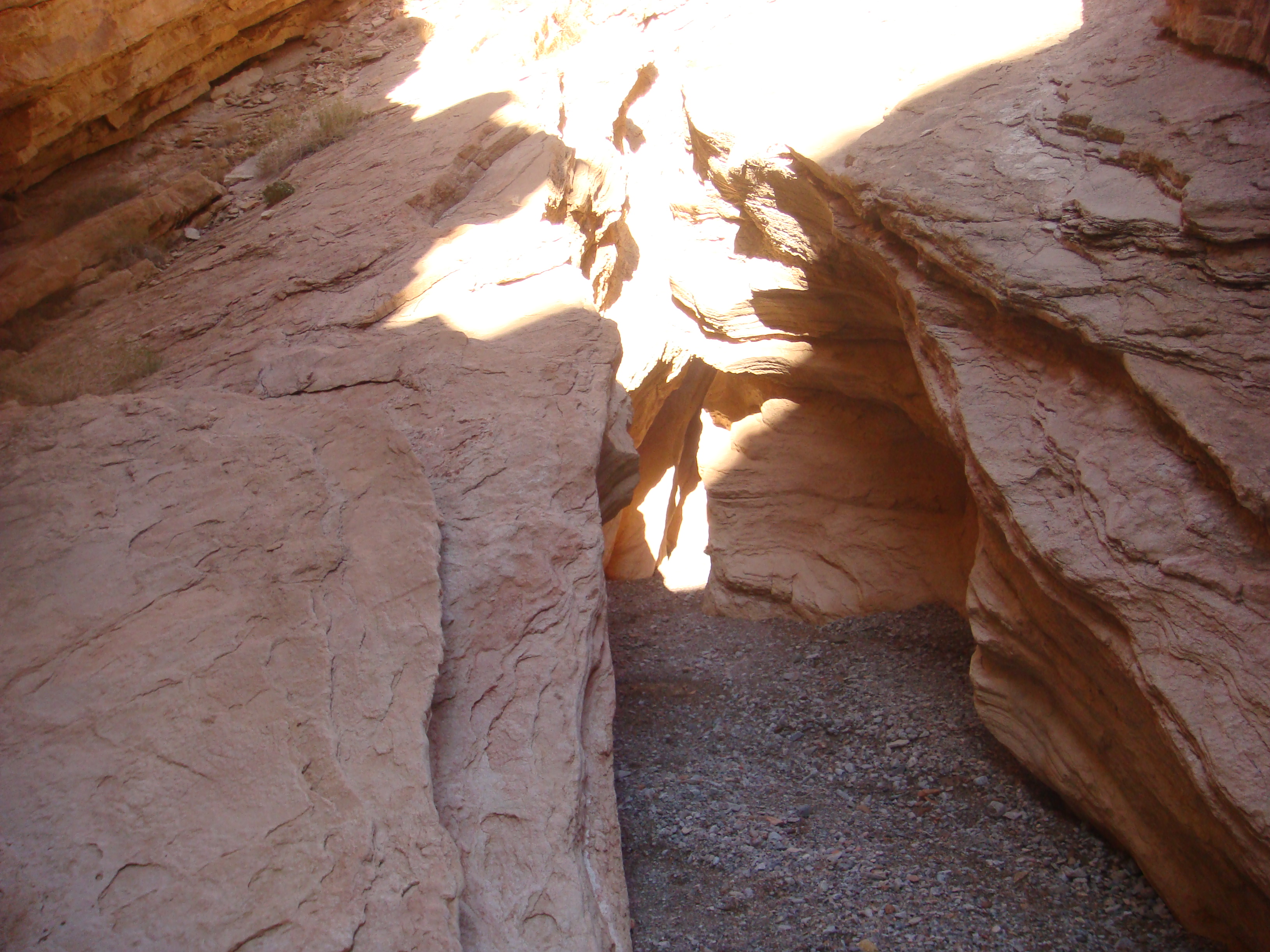
Joyce dropped me off about a mile away from the wash. We said our good-byes and I headed cross country for the wash. The temperature was probably in the 60’s and pleasant to hike in. In my pack was a down jacket and a 20F rated sleeping back, as the nighttime temperatures would dip into the 20s. Soon the wash narrowed and rock walls began to close in. I passed an old mine. Pictures below.
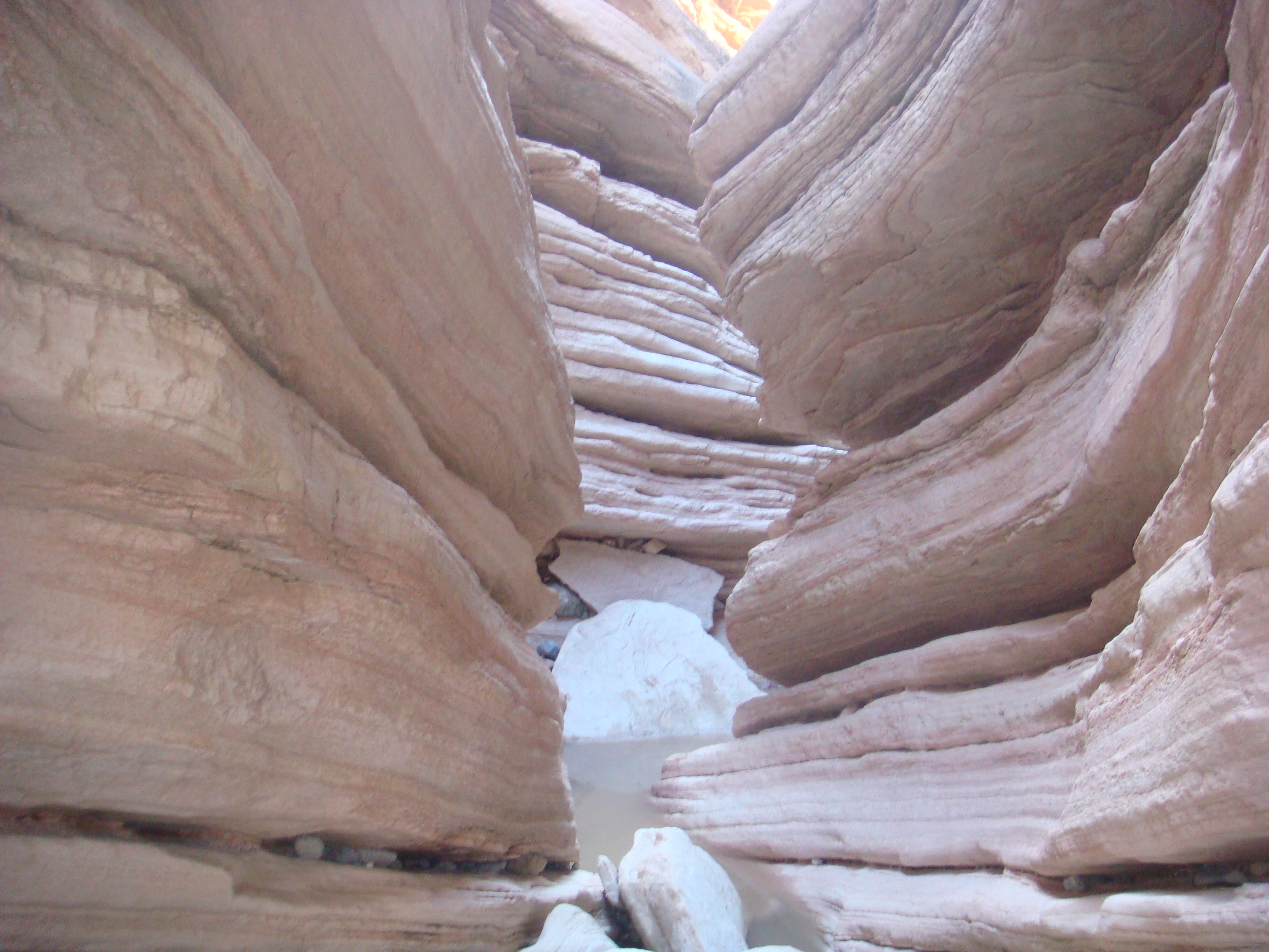
Slot Canyon
The rock walls got closer and I found myself at the mouth of the slot canyon. The slot was easy to navigate and there was quite a bit of standing water from a recent rain. Pictures below.
Exiting the Slot Canyon
Looking back at the slot canyon.
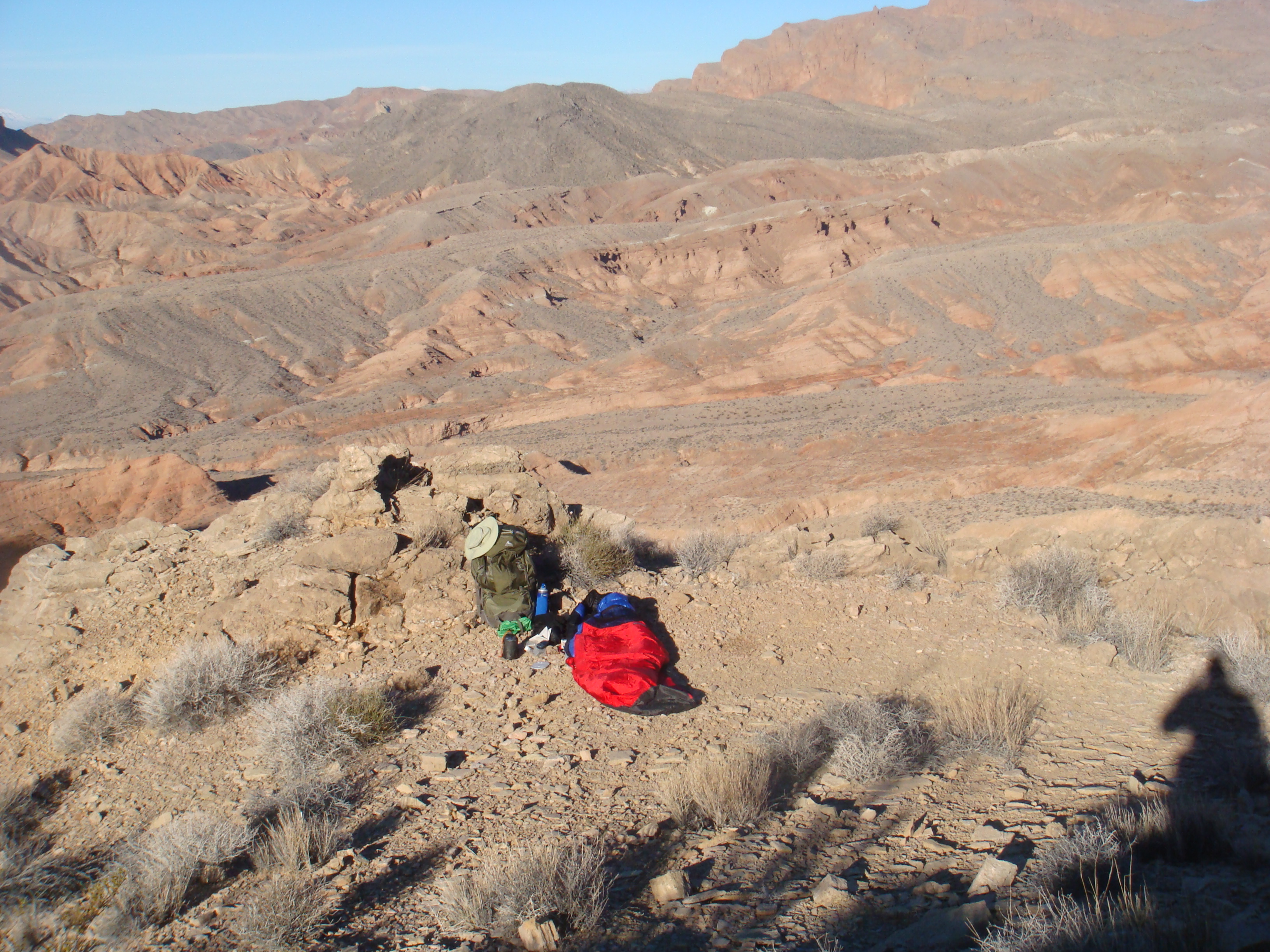
Exiting the narrows, I headed up the wash to the point I would climb up and over into the Bowl of Fire. Checking my map, the climb seemed much steeper that the map showed. I triple-checked the map and was certain I was at the right place. Slowly working my way up, the route was fairly difficult and took much longer than I anticipated. I finally got to the top and looking down into the Bowl of Fire, could not see any feasible way down. The slopes were much too steep and treacherous to try. I must be lost, I thought. I sat down and consulted my map, and it appeared I was in the right place, but there was no way I was willing to try and get down, seeing that I was hiking solo.
View down to the bowl of fire.
 Another view of the Bowl of Fire.
The map was printed by the United States Geological Survey (USGS). The map scale was 1:24,000. I had been using these maps for almost 40 years. The elevation is marked by contour lines that are spaced at 40 foot intervals. The closer the intervals, the steeper the terrain. Everything look correct. I triangulated my position using my compass, and I was in the right spot. Then I figured out the problem.
Seems the map had been created by metric communist wacko. A note at the bottom of the map stated the contours were 20 meter intervals. That means they were more than 65 feet apart; meanig the contour spacings were 65% greater than a “real” map. Communist Bastards!
Now it was getting late, it was getting cold, and the breeze was picking up. I decided to make dinner and develop a new route. A new route is a cardinal sin. I have left my route with Joyce, and should I get injured or lost it would be difficult for anyone to find me. Oh, well… I never follow rules anyway. I finally decided to continue up the wash in the moring and then circle back to the Bowl of Fire. This would put be a day behind, so I would need to take another route to Lake Mead — needing to get there for water — I would be getting to the lake a day later than planned. Because I had found standing water in the slot, I knew I would be able to find small pools of water the next day.
 Looking down the route I had climbed up. Returning was not going to be easy.
 Tomorrow morning I would need to exit the gap in the background and then circle back to the Bowl of Fire.
Day 2
Climbing up the day before had been quite trying, and now I knew why… it was steeper than I had thought. Going up is always easier than going down, and I found the return to be rather frightening. A couple times I had to remove my pack and lower it with some spare cord I had brought. Not to mention some areas of slippery footing. Taking my time, I made it down to the wash without incident. The hike up the wash, then to the Bowl of Fire went without incident of difficulty. I spent the afternoon wandering around and collecting water. A great day of fun!!
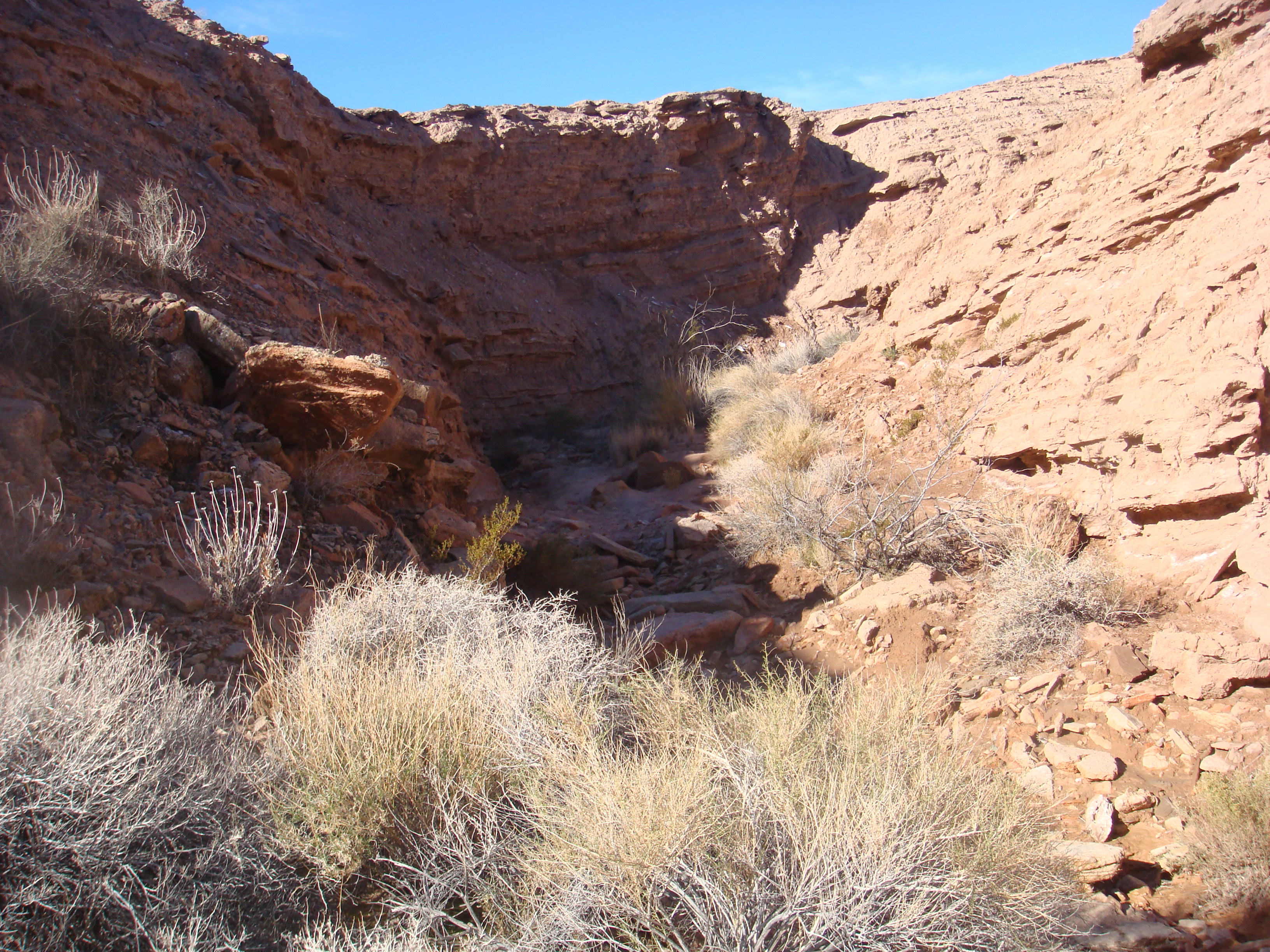 A little barrier in the morning. Up and over!
 A little bit of water. It is frozen, so that confirms my guess that it got well below freezing the previous night.
 Rock formations in the Bowl of Fire.
Day 3
Originally the plan was to be at Lake Mead at the end of Day 2. Now I would need to hike to the lake and I knew that water would probably be difficult to find in this part of my hike. My plan was to enter the opposite end of Pinto Valley as planned, then turn out of the Valley to a pass that would drop me into the lake basin. Even with the communist map, it look fairly straight forward. And again, I was traveling where no one would look for me should I not return on time. Additionally, this area had no trails and few visitors. This must be the definition of adventure.
I filled up my water bottles here, figuring it would be the last available water until I got to Lake Mead. I was right.
The hike to the pass was straight forward, and a small portion even had a trail. Once I got to the pass, the route looked reasonable.
 The pass is at the left of the long ridge at the top right of the picture.
 This pass would drop down into Lake Mead.
 Looking back at the Bowl of Fire from the pass. The large mountain on the right is where I spend the night on Day 1.
From the pass I would travel down a wash/canyon that ended up at the shore of Lake Meade. About half way down I got to a “pour-over” that was at least 30 feet vertical. There was no way to get around it, as there were steep walls on each side of the canyon. I hiked back about a half mile and then out of the canyon, working my way parallel to the lake, and descending to another wash. This required quite a bit a bushwacking, but soon I was in a wide gentle sloping wash that gradually dropped down to the lake. It had been a tiring day, but all ended well. I would need to get a good night’s sleep because I was much further from my pick-up point and I would need to hike 30 miles the next day to make sure I got to the pick-up point on time.
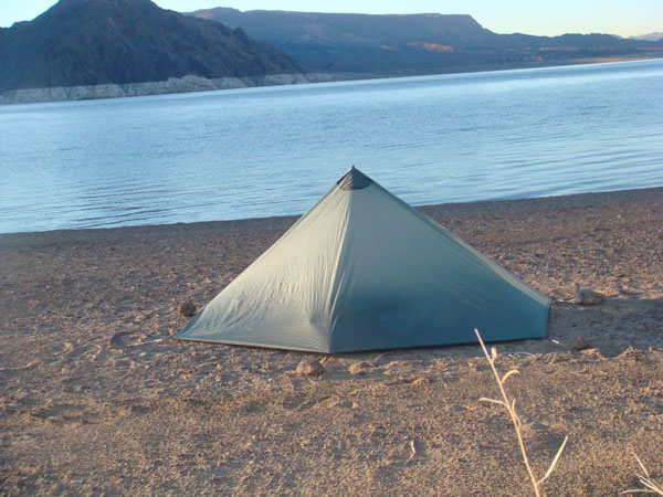 It was going to be a cold night with a chance of precipitation so I pitched my Wild Oasis shelter.
 Sand dunes behind my lakeside campsite.
Day 4
Today’s hike would be easy in terms of terrain, just long. And I got to the pick-up point at 4:00 PM. Joyce had gotten stuck in traffic and arrived about an hour later. And this trip ended up being another excellent adventure. Because I had lost almost a full day getting to the Bowl of Fire, I was not able to travel through Pinto Valley, something I had been looking forward too. But I would do that the following December.


