Dad’s Christmas Vacation 2011
FOR NICOLE AND JOE
Backpacking Lake Mead Recreation Area
My Christmas present from Joyce was a “kitchen pass” to go backpacking between Christmas and New Year’s. The week before this we were camping at Lake Mead in the tent trailer.
Usually I hike this time of year in the Lake Mead area of Nevada. But this year I decided to hike into Arizona; into and near several canyons near the Colorado River. Since this is all desert, I would replenish my water every two days working back and forth from the river.
Preparation for the trip was just loading my backpack. Once I got to Nevada, I planned on stopping at the Lake Mead Visitor’s center for the maps I would need. I have been there before and they have a good selection of USGS Topographic maps. Maps are critical, since I would be hiking in the backcountry where there are almost no trails and few people venture to some of the places I would be in. Also, there is no cell phone coverage. The Visitor Center had closed down 18 months ago for remodeling, so I assumed (silly me) that it would be open. Well, it was closed. Still under construction; Amazing! It took 3 years to build Hoover Dam, and the government cannot remodel a small building in 18 months. So I drove to the district office in Boulder City, and they could not sell me any maps because they are in storage and no one knows where. But I could buy plenty of souvenirs. Made a few phone calls, and no maps anywhere. Okay, plan B – I loaded maps onto my iPhone. Kind of risky, because dead batteries or breaking it could be a bad thing. Biggest worry was dead batteries. The morning of the trip, I double-checked all my equipment and NO camera. I forgot it. Well, I could use the iPhone as a camera and risk more chances of a dead battery or breaking it, or drive to Las Vegas and buy a new camera. I decided to risk it.
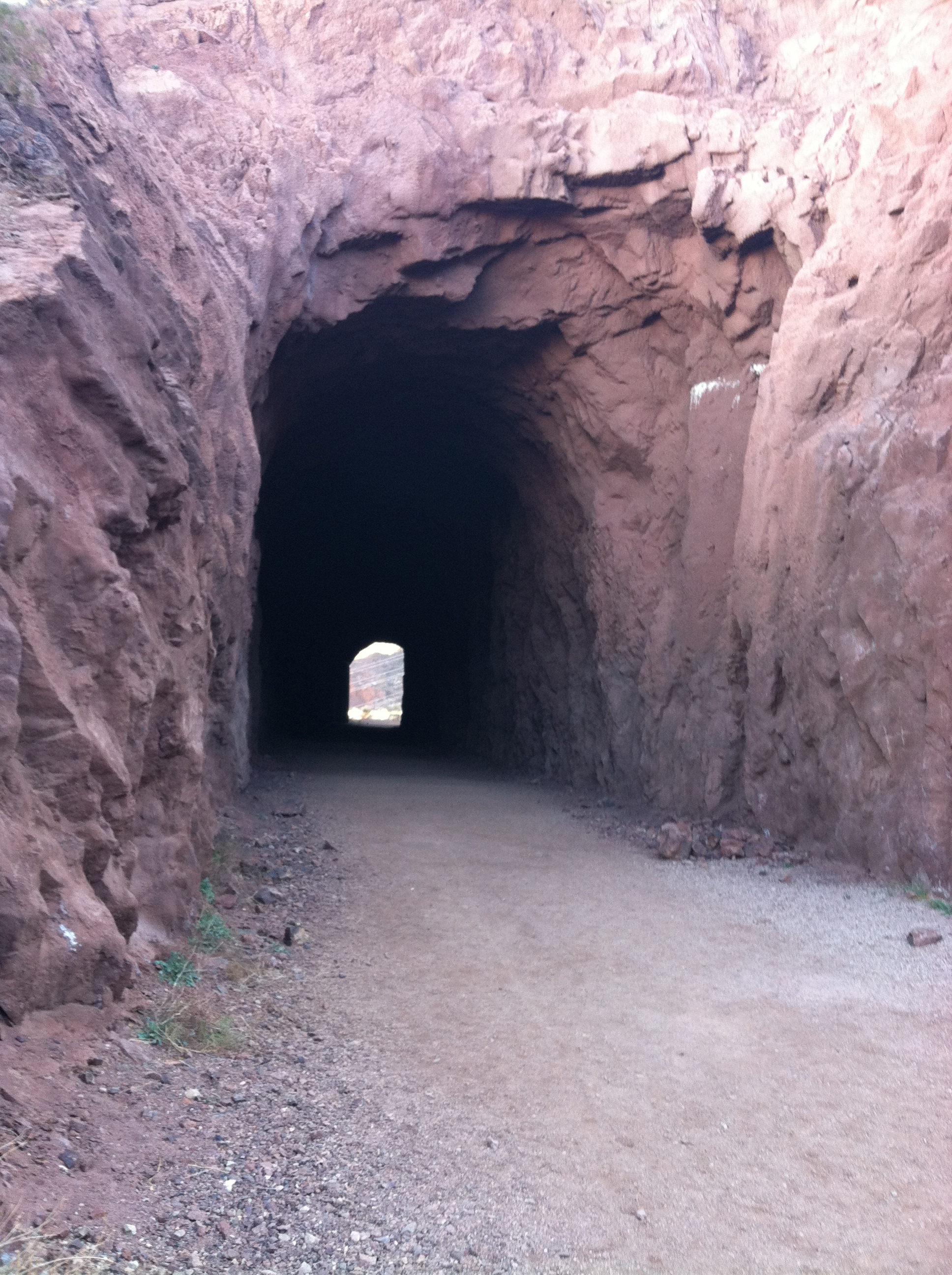
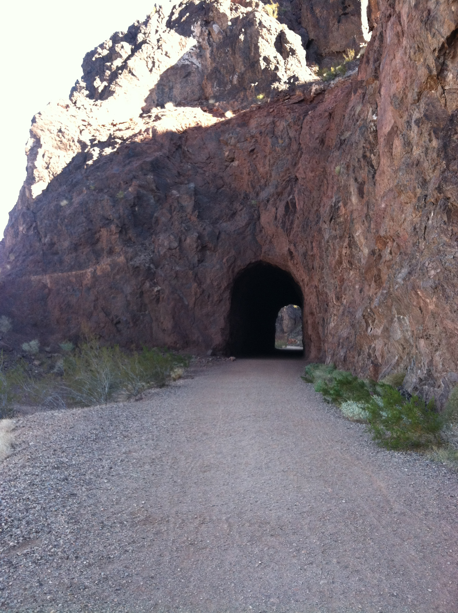
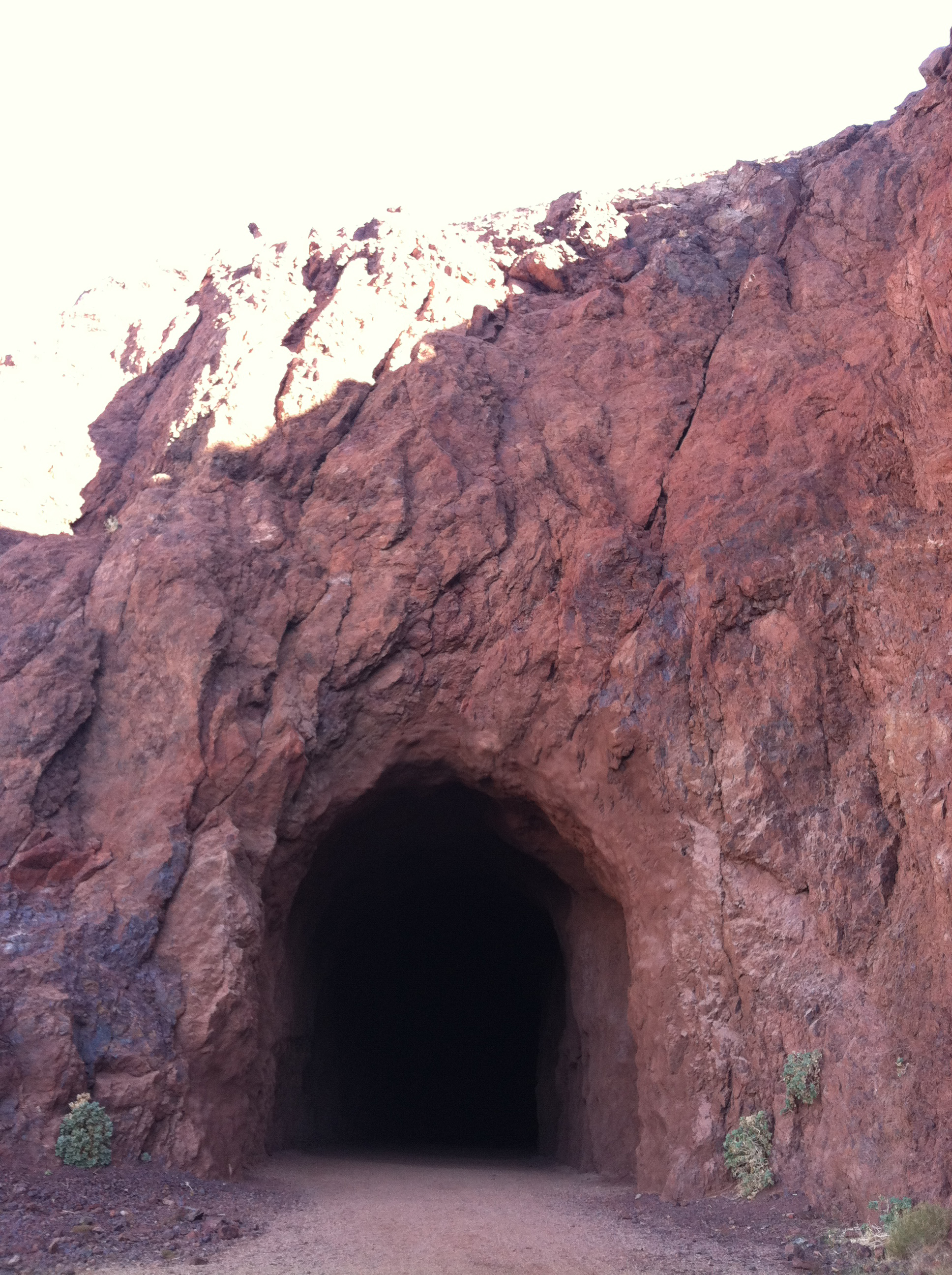
The start of the hike started from the campground. I hiked through 4 old railroad tunnels cut into the mountains above Hoover dam that were used to bring supplies and construction materials to the dam site. From here I worked my way down to the Dam, walked across it and then walked several miles to a plateau high above the Colorado River, so I could determine where I wanted to go.
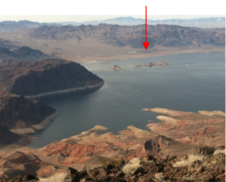
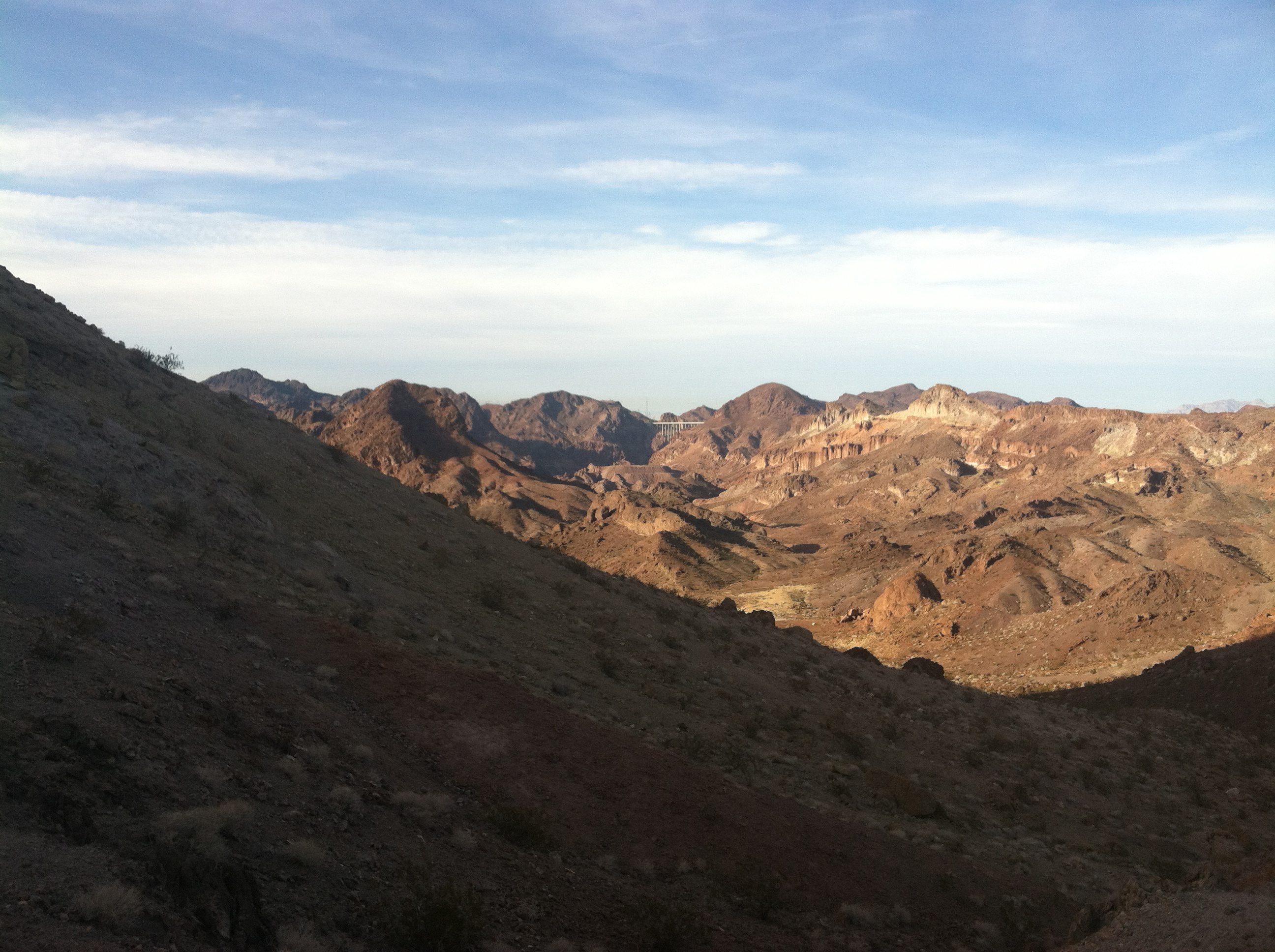
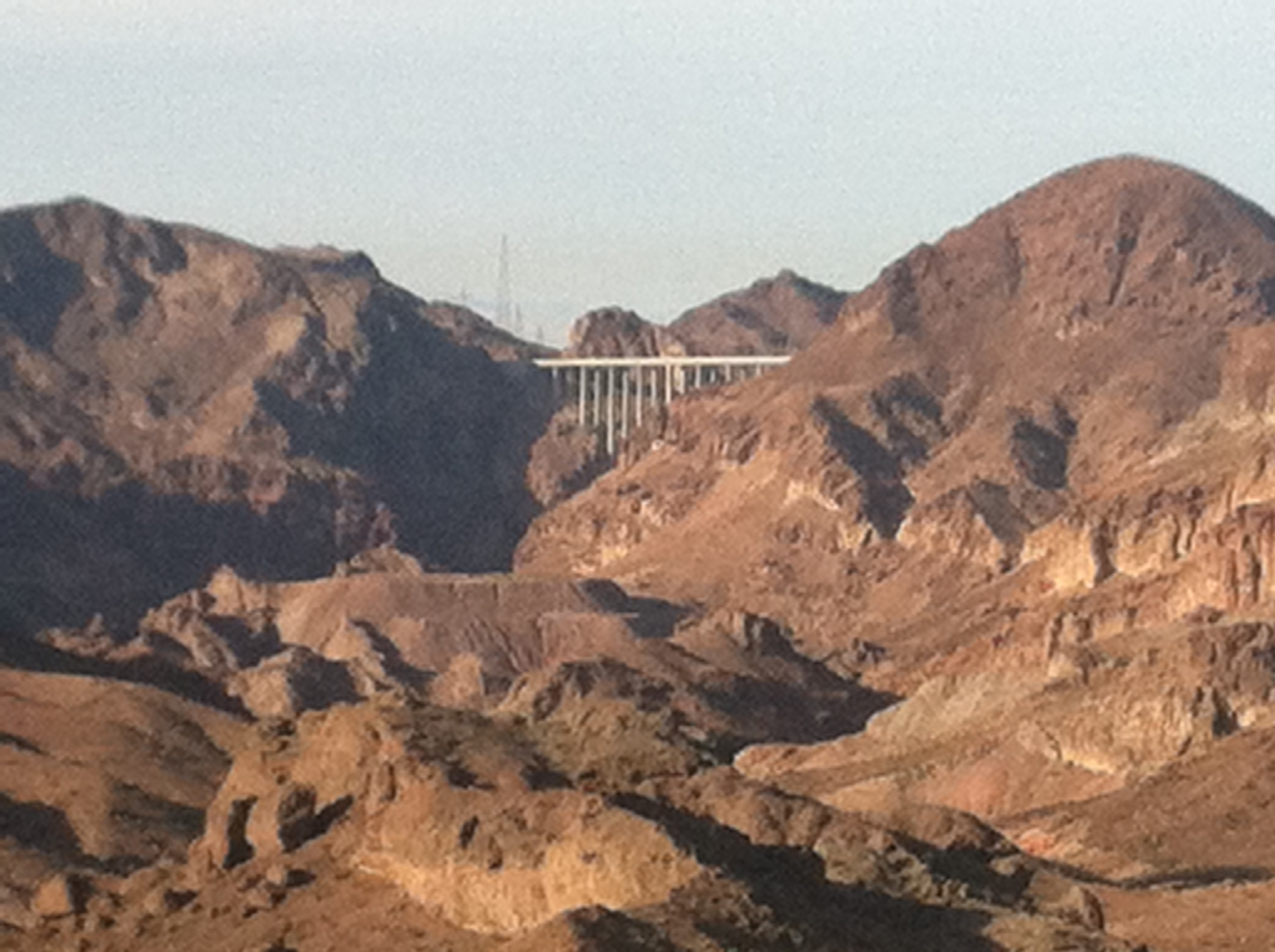 Starting point of hike is behind the hill on the left.
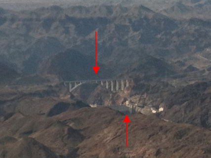
I would be walking another mile or so from the vantage point I took the picture of the bridge (above), to get a view of the Colorado River and confirm possible routes to water.The trip started from behind the mountain on the left of this picture. The bridge is the Highway 93 by-pass that diverts thru-traffic away from Hoover Dam, in response to concerns for Terrorist attacks on the dam, as a result of 9-11.
The bridge took 8 years to build, in contrast to Hoover Dam, which took only 5 years to complete. Progress!!
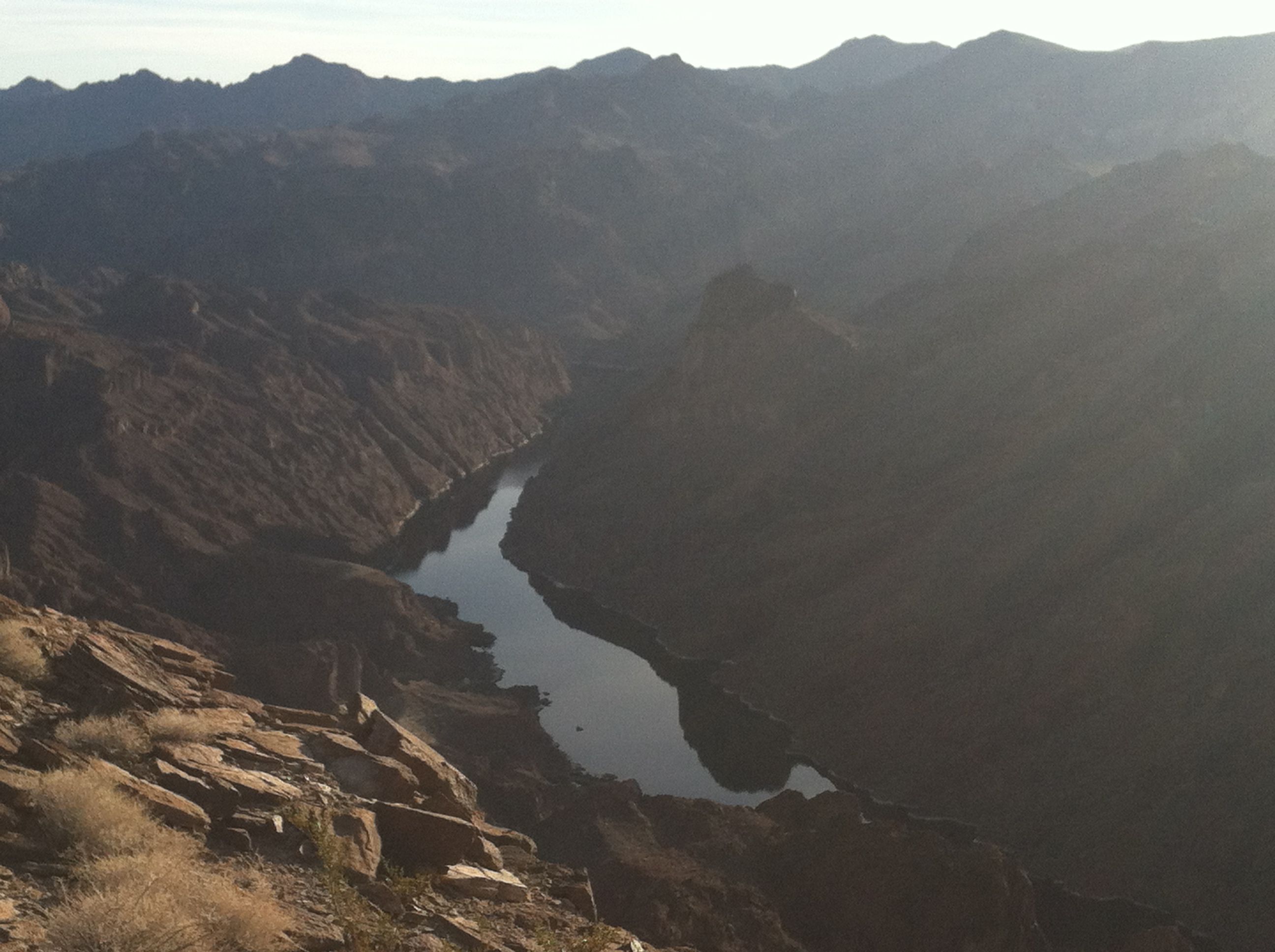 Scouting for a route down to the Colorado River
One thousand feet above the river and no easy way down from here. However, in the left center of the picture is a long canyon that looks like it has easy access, and the phone map confirms it. This means I am going to have to loop around to get to it. So I head east and what do I see?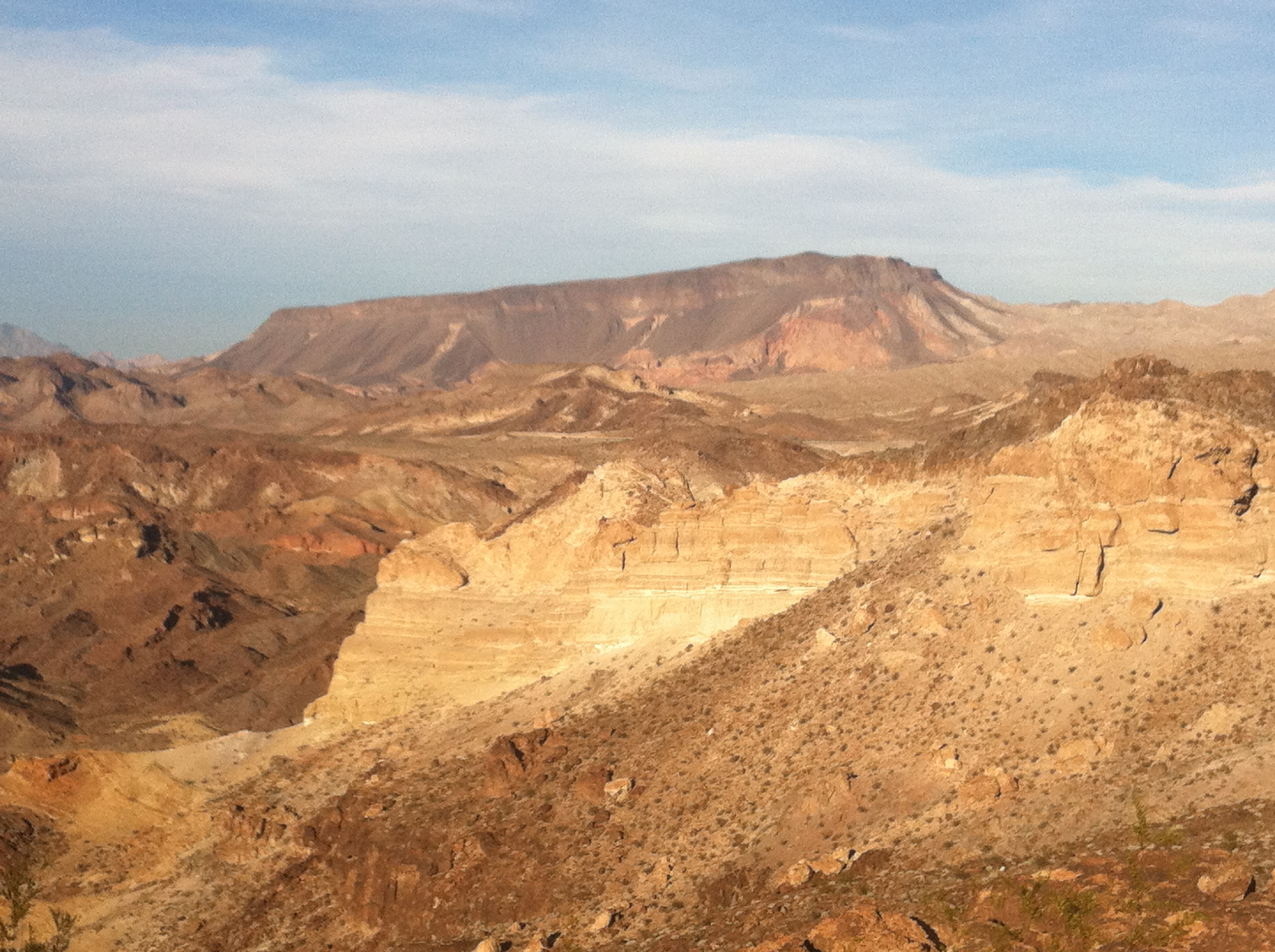 Fortification Hill
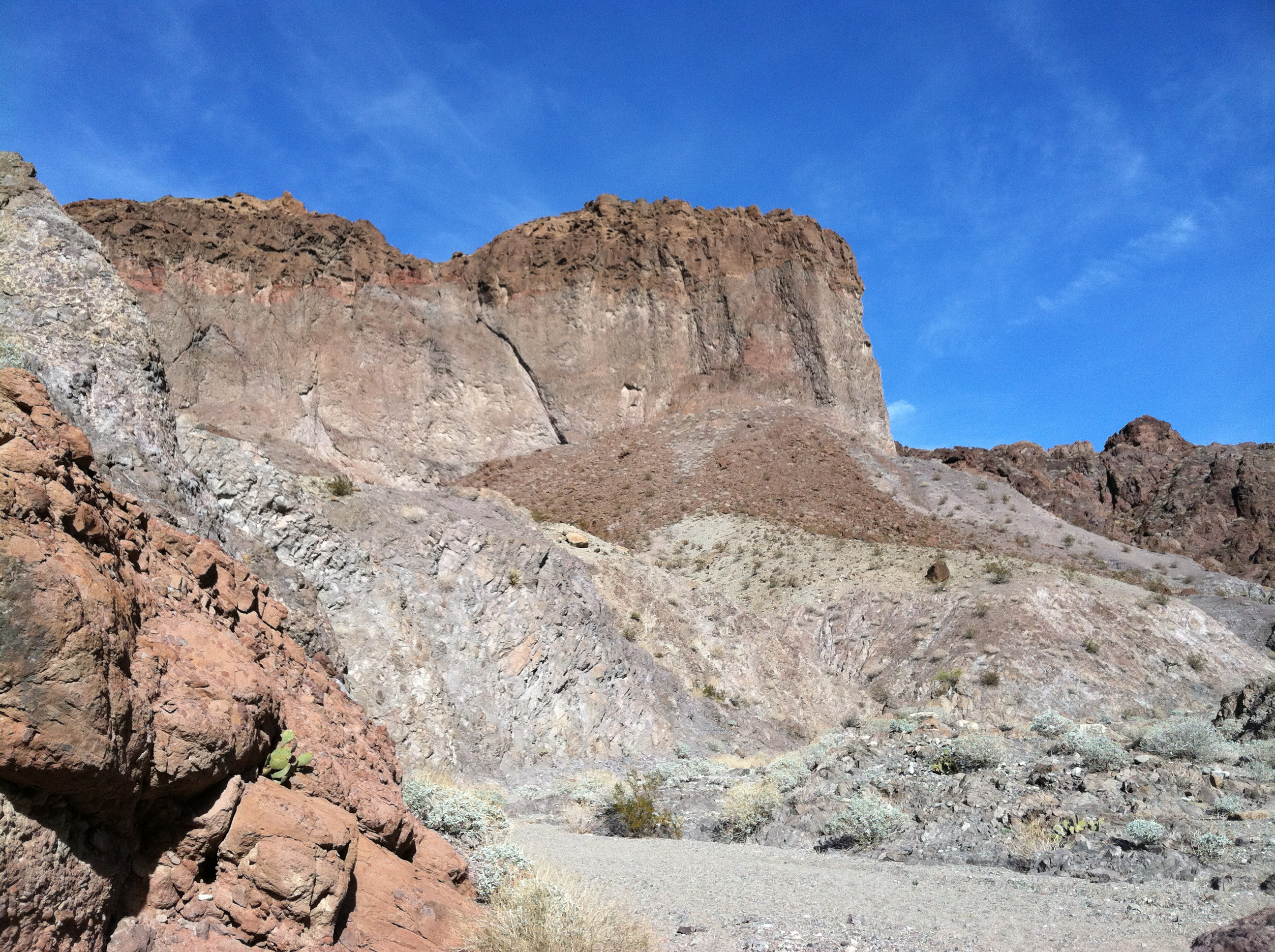
This! The map says it is Fortification Hill, but no trails are marked on the map. But it is just sitting there waiting for me to climb it. It is going to be a two day hike there and back to a water source. Not a smart idea to do when one is hiking solo, but then who said I was smart? Later I would find out that this huge plateau was formed by an extinct volcano and parts of the crater are still visible, but filled with rock and dirt.
It looks like the right side can be climbed, but the top looks vertical. Only one way to find out!
A three mile hike takes me to a dirt road that travels to left of Fortification Hill and eventually to the shore of Lake Mead. I plan on following the road for a couple of miles. Once on the dirt road, I find that is not the way to go, because there are a few people driving on the road. Aside from the dust their vehicles create, they keep stopping and ask me unbelievable questions.
Tourist #1: Is this the way to the Dam?
“No. Hoover Dam was built 75 years ago. Don’t you think they would have built an asphalt road by now? Go back a few miles and turn right when you see the sign, Hoover Dam, with an arrow pointing right.”
Tourist #2: You aren’t going to sleep out there are you?
“No, I am walking non-stop to Phoenix. It is only 250 miles away.”
Tourist #3: You aren’t hiking alone are you?
“Of course not. Can’t you see Harvey my pet rabbit?
Tourist #4: Is there water ahead?
“Yes. Drive about 3 miles down the road. You will find 3.8 trillion gallons of water at the end of the road.
Tourist #5: Hey! Can my Civic make it down the road?
“No, the sign back a couple miles ago said high clearance 4WD vehicles only. You have neither.
Tourist #6: Is your pack heavy?
“No, it is filled with a secret formula of gases. 79% nitrogen, 21% oxygen, and a few trace gases make it completely weightless.
I couldn’t take it any longer, so I headed cross country which meant climbing in and out of 3 small canyons to get to the base of Fortification Hill. By now it was getting dark, so I laid out my groundsheet and quilt, and cooked dinner. Temperature would get down just below freezing each night this week.
In the morning it was chilly, so I took my time with breakfast waiting for the sun to hit me. As I sat sipping my coffee, I saw 7 young male Big Horn Sheep practicing head-butting on a ridge. Since it was too far to capture on my phone, I got up and moved closer. They sensed my movements and just stood and watched me. I would see two more of these magnificent animals later in the day.
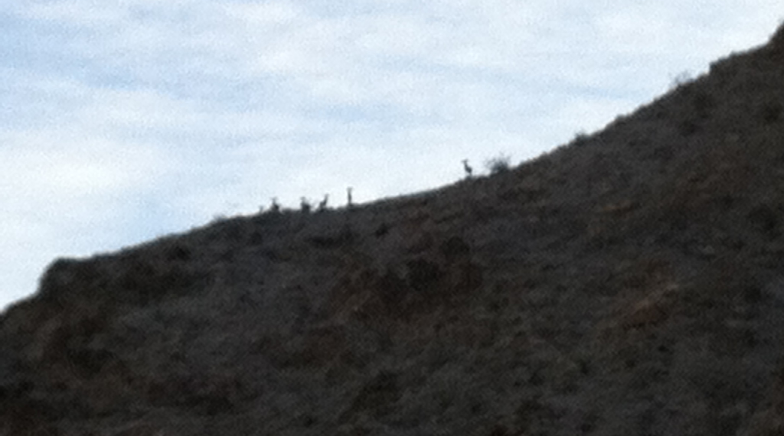 Big Horn Rams practicing head-butting
By now I needed to get going. I still had not seen a route up the hill, and then it would be over 12 miles to loop back down to the river. Packed up my gear and followed a wash around the south end of the hill. Soon I came to a side canyon that was flowing down from the hill with a sign that said, “Trail Not Maintained. Hike At Your Own Risk.” Perfect, my kind of trail. I followed a faint trail up the canyon, which disappeared in about 800 meters. But it must have been a trail to the top. So I climbed a small ridge that ran parallel to the canyon and found a steep trail that zip-zagged up to the rock face near the top.
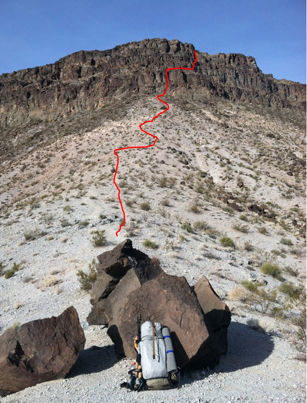 Approach to Fortification Hill from the ridge-line
It only took a few minutes to get to the vertical cliff past those huge boulders on the previous page, and I found a route that entailed relatively easy climbing, other than a slip that would turn things into a bad day. Once on the top, I found a relatively flat mesa about ½ mile wide and over a mile long. About a mile ahead was a small summit with a well marked trail in the volcanic rock. For the most part the entire plateau was all volcanic rock with a few plants growing here and there.
This moonscape looking rock formation is what the entire mesa looked like, only most of the rocks were much smaller.It only took a few minutes to get to the vertical cliff past those huge boulders on the previous page, and I found a route that entailed relatively easy climbing, other than a slip that would turn things into a bad day. Once on the top, I found a relatively flat mesa about ½ mile wide and over a mile long. About a mile ahead was a small summit with a well marked trail in the volcanic rock. For the most part the entire plateau was all volcanic rock with a few plants growing here and there.
Here are some views from my vantage point on Fortification Hill
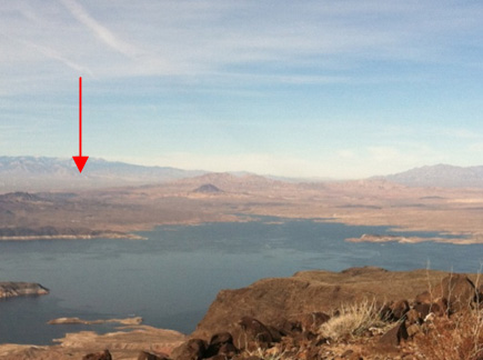
Las Vegas
Hyw 93 Bridge & Hoover Dam using the zoom in my iPhone – sure wish I had brought my camera!
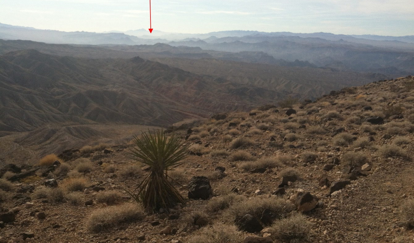 Looking west towards the Colorado River from Fortification Hill
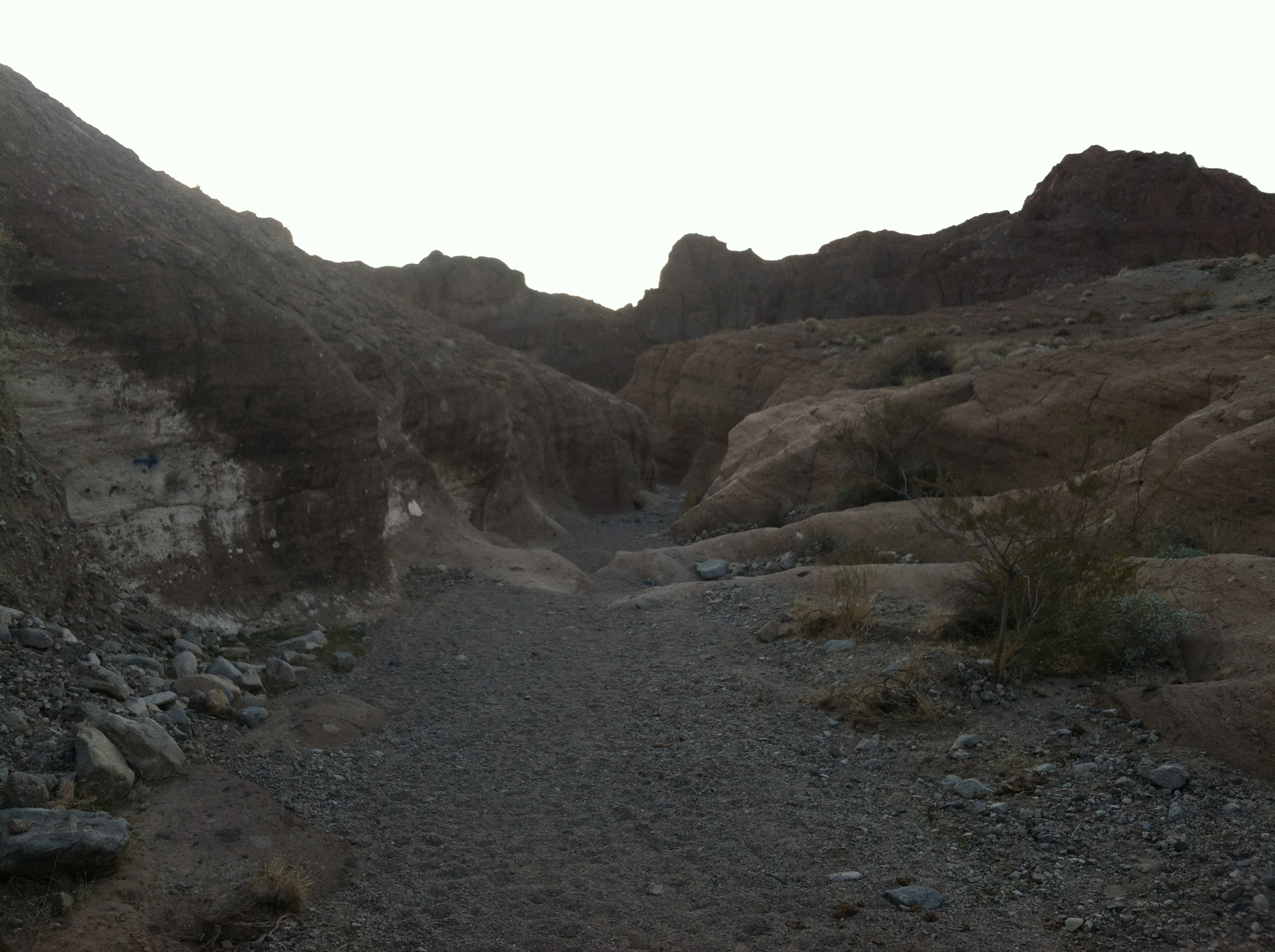
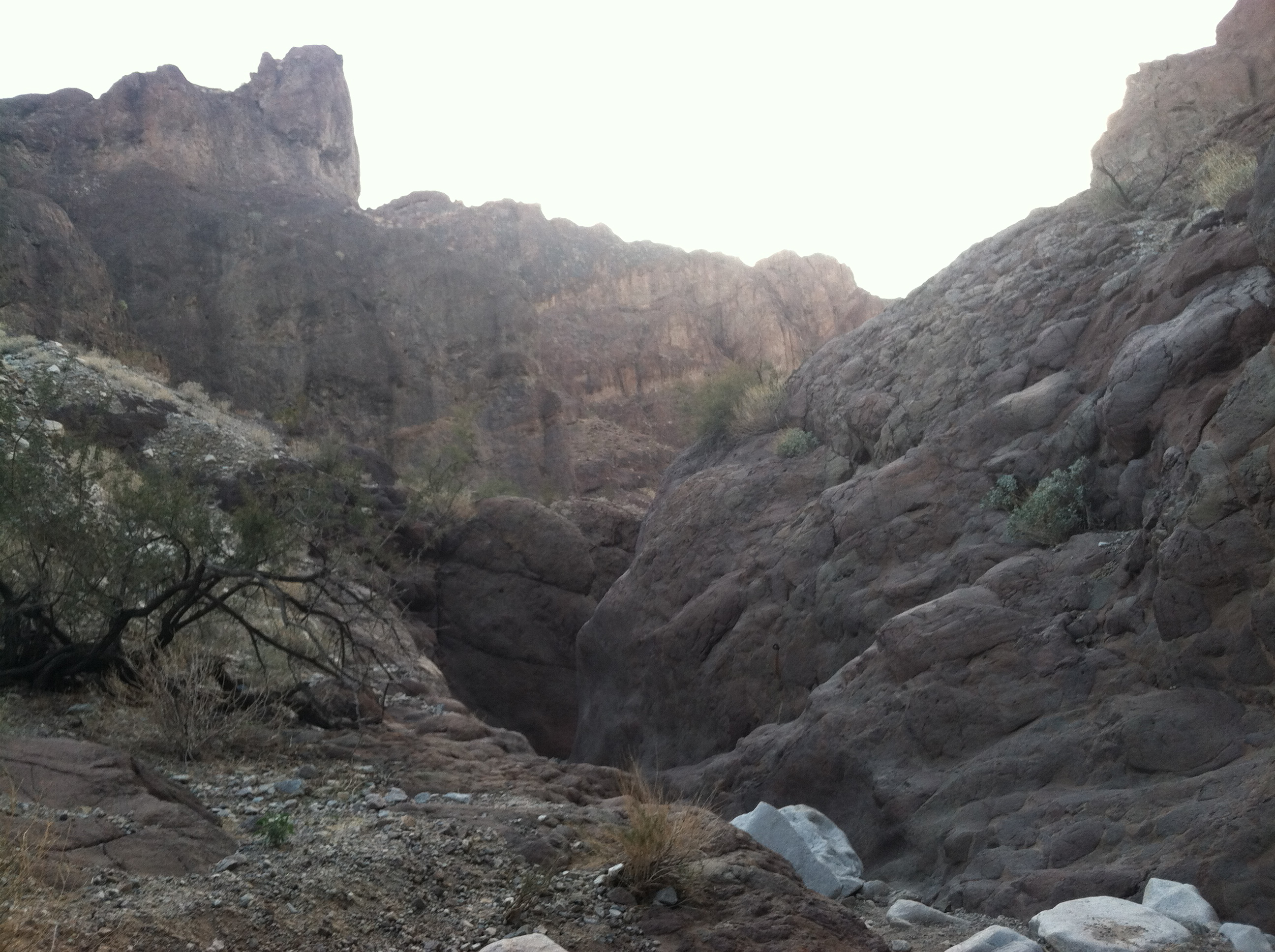
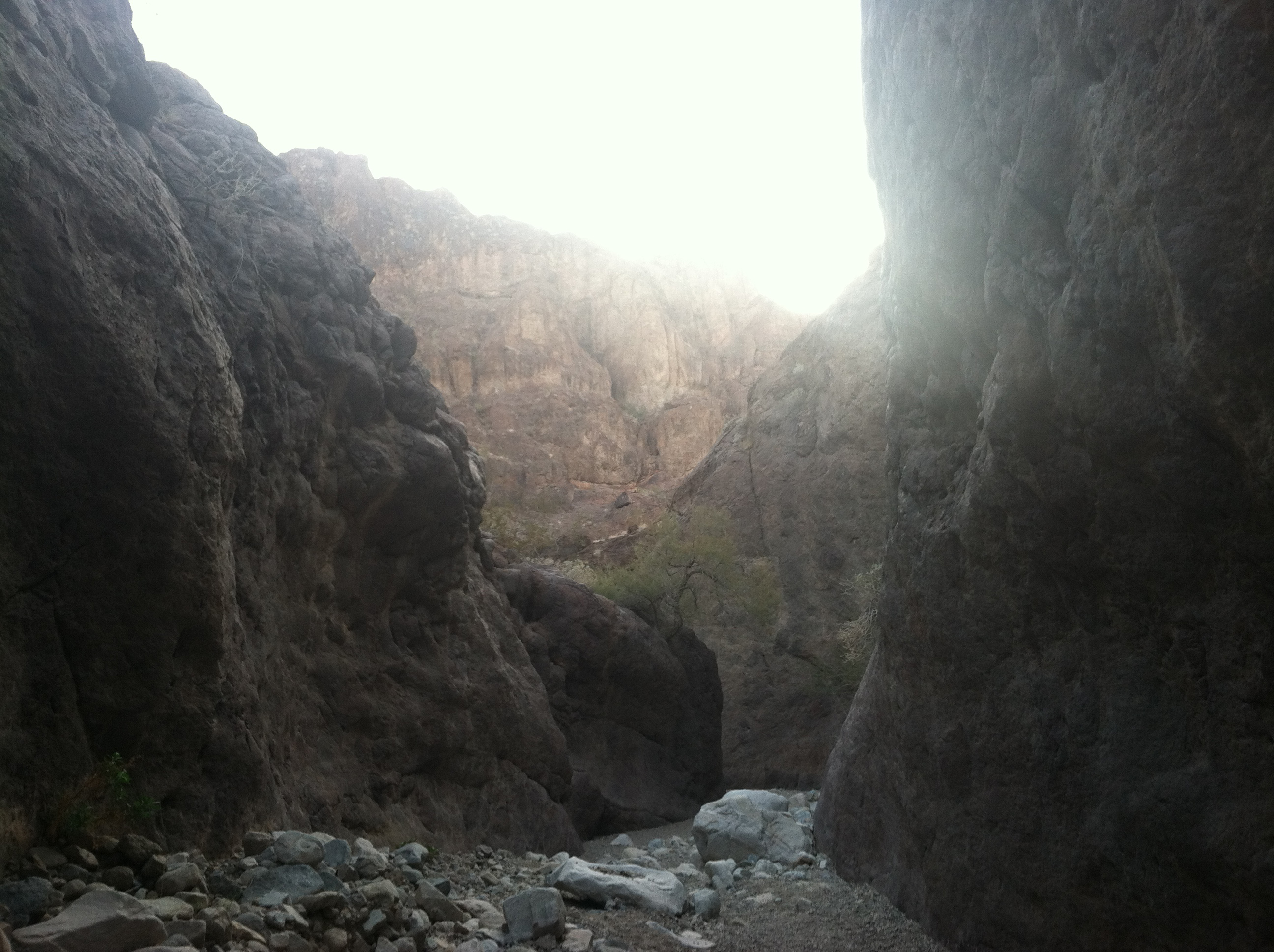
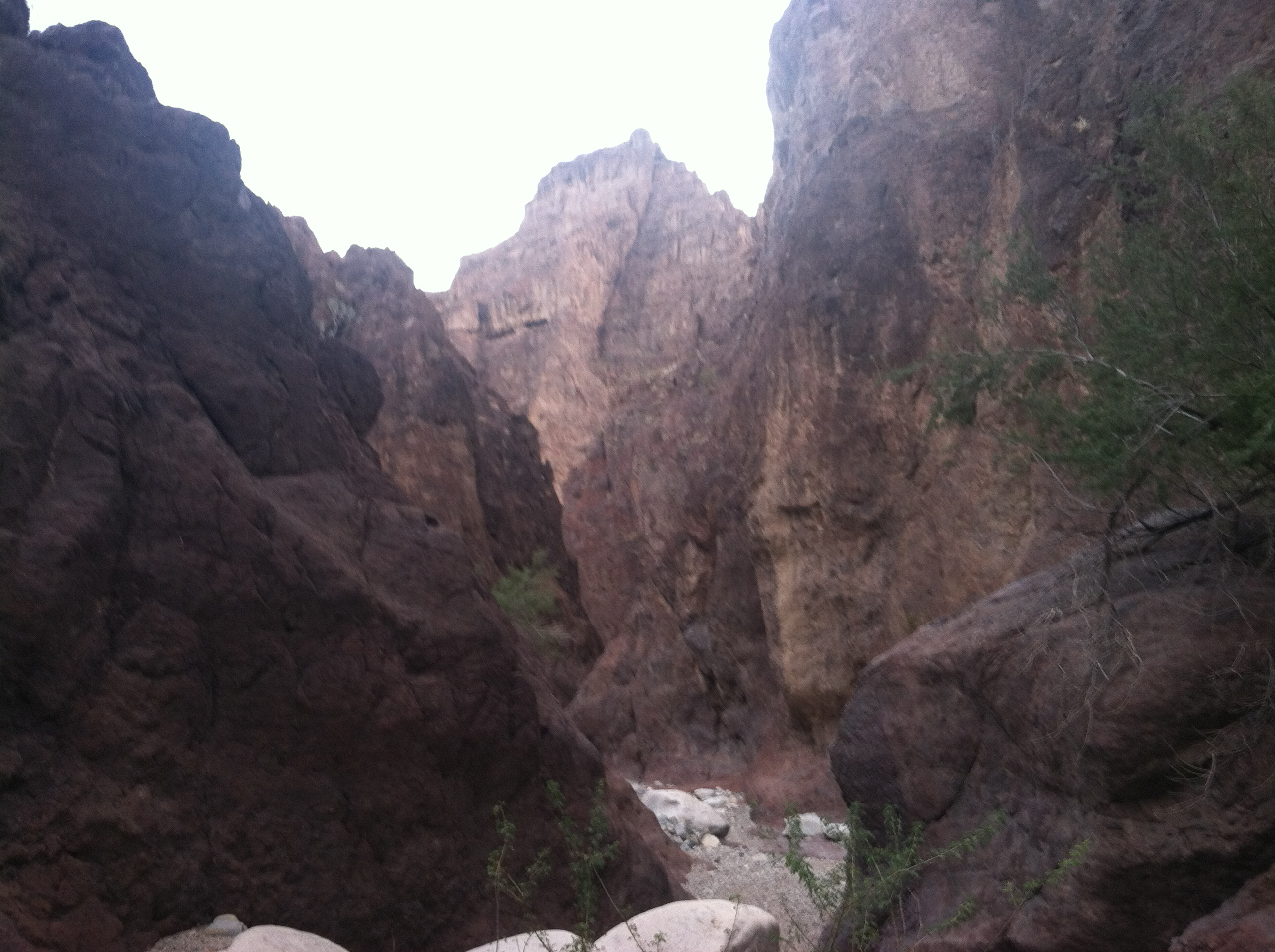
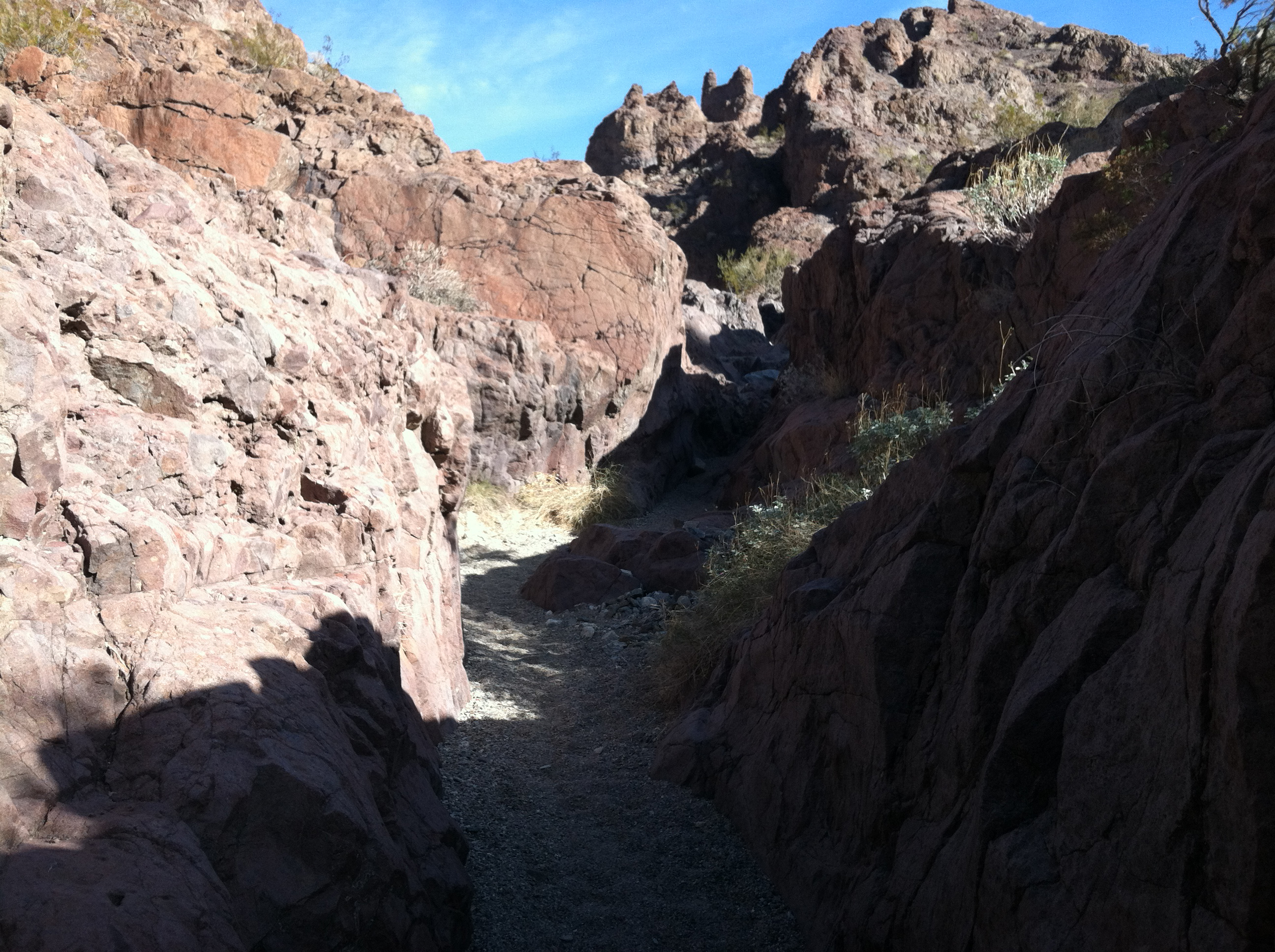
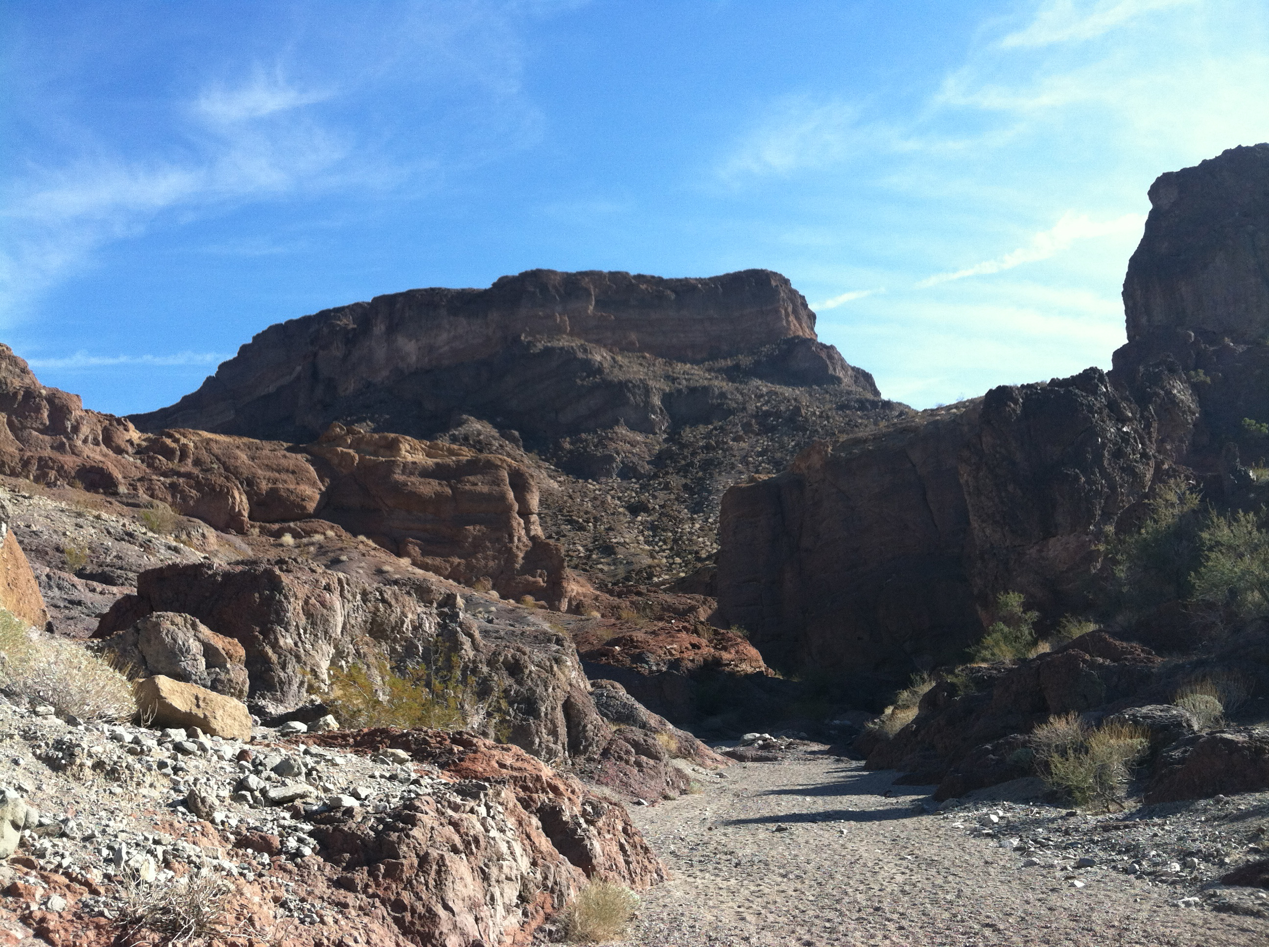
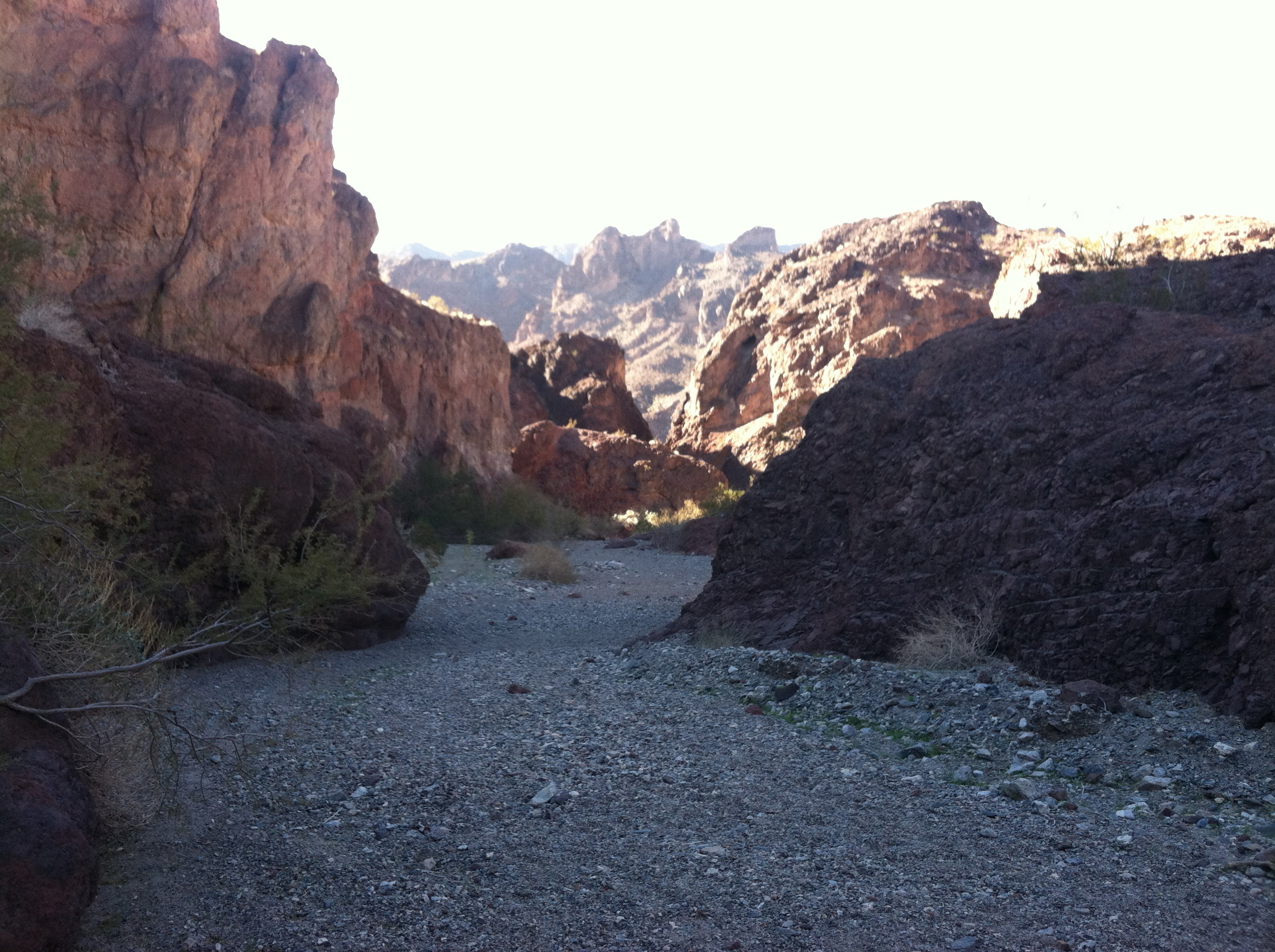
After taking pictures I headed back down to the mouth of the canyon and ate lunch. It was now 12:30 PM and I needed to get to the river before dark, which was 12 miles in 4 hours or so. Ten of those miles were easy downhill ones, in a large sandy wash. I got to the river just before 5 at dusk, with about a half a cup of water to spare. So I had averaged 3 miles per hours, pretty good… but then most of it was downhill. The last 2 miles of this section was fabulous – a long slot canyon with walls several hundred feet tall. Pictures below:
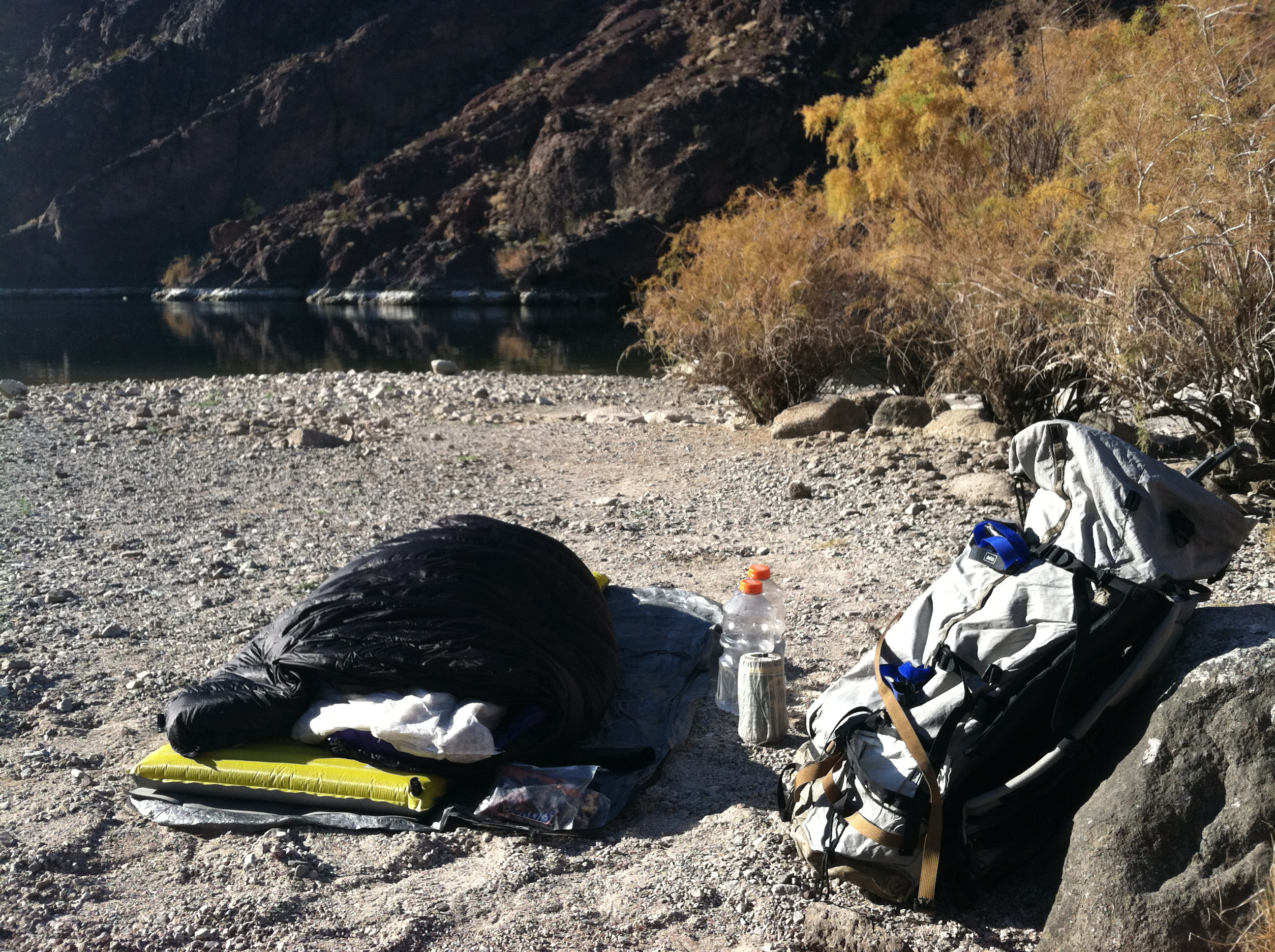
Since it was almost dark when I got to the River, I did not really know what my campsite selection looked like until I awoke in the morning. It was nice, if I don’t say so myself!
So this is the beginning of Day 3, which would turn out to be the most unusual day of all.
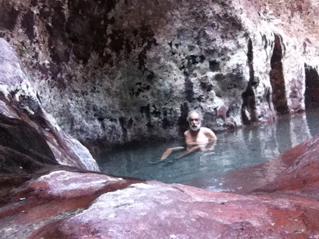
The first order of business for Day 3 was to get out of the Colorado River gorge. The gorge got smaller as I went south, but there was no way out of my present spot unless I retraced my steps, swam down river, or found a way to hike out a canyon about ½ mile south of my night camp. So I chose, door #3. A little rock scrambling got me to where I thought the canyon should start, but I could not find the mouth of the canyon. Then I found a small seep of water and followed it. There were a few sections I had to climb some small “run-over’s” and then there was a 20 foot waterfall – dead end; except that someone had placed a ladder against the vertical rock. How convenient. So up I went. And then, here I found two small pools fed by a hot spring. Water temperature was at least 100F. So, it seemed like a good time to take a Jacuzzi!
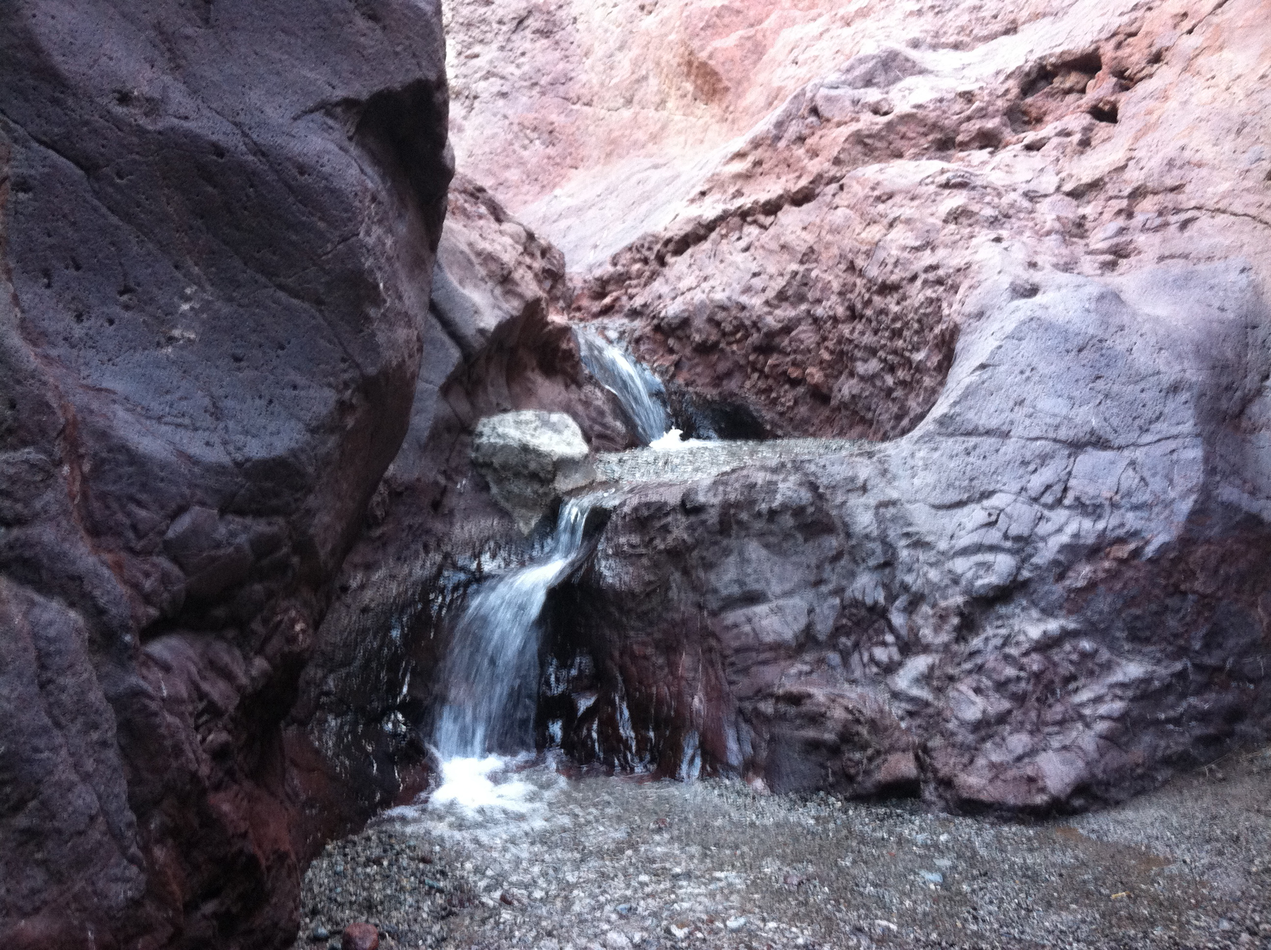 Stream coming down the steep canyon
It was now around noon, my shoes were dry, so I decided to take a lunch break, clean the sand out of my shoes and put my socks back on. It had now been almost two full days since I had seen another person. So here I am sitting on a big rock and I hear footsteps. Look up and this guy, older than me, is coming down the wash. He was wearing water shoes and carrying a small day pack. That’s it. No clothes, completely naked. He said, “Hi,” and kept walking. I was going to take a picture of him walking away, but then I figured, how would I explain this to Joyce? Since I was hiking in shorts, I took off my shirt and socks, and wore my shoes sock-less. Really nice way to start the day. After a 30 minute soak, I put on my shirt, hoisted the backpack and headed up the canyon. Had to climb up a few small sections of slip-rock, and then it was easy going in a sandy wash, with a few sections of slot canyon work.
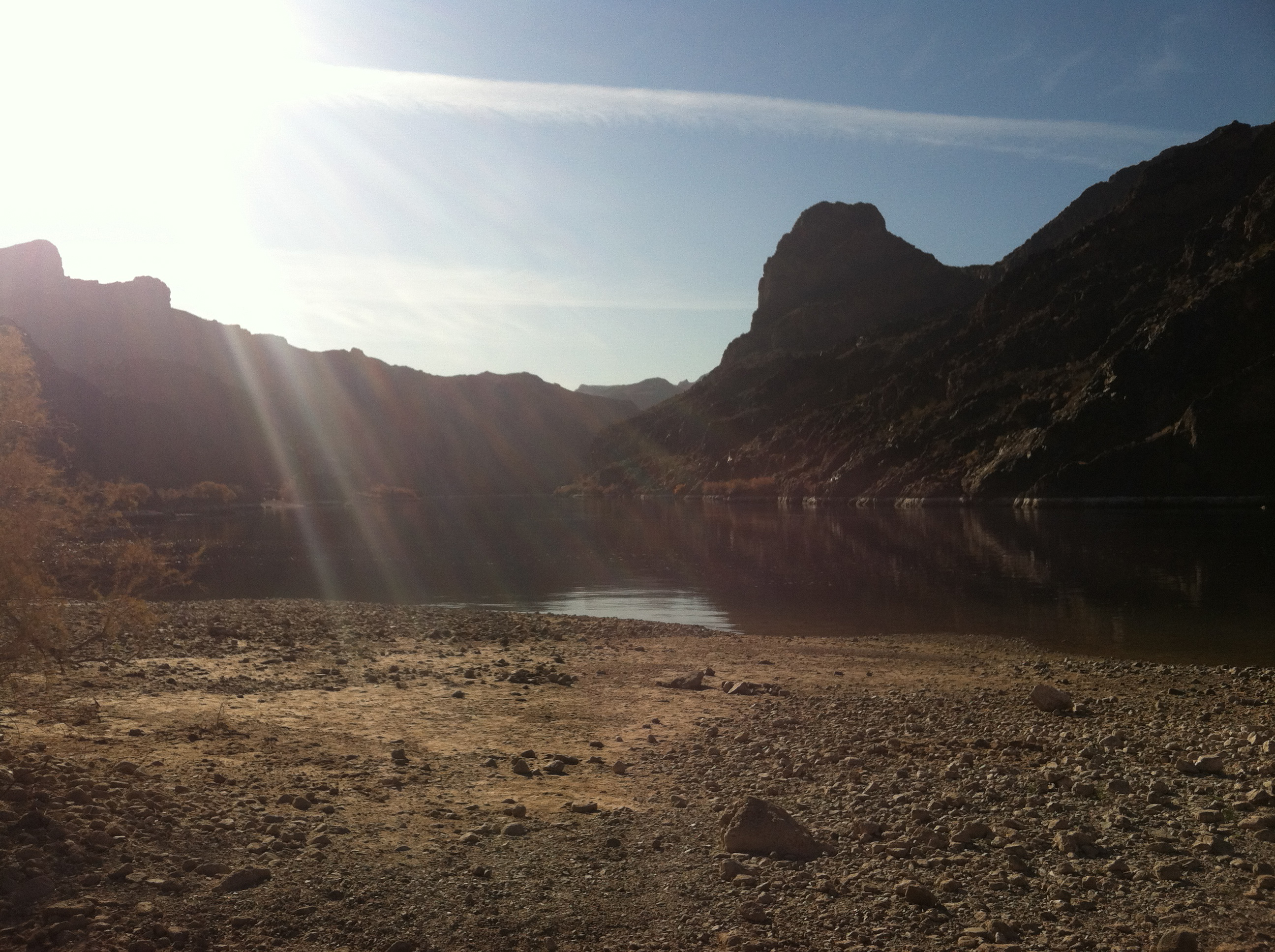
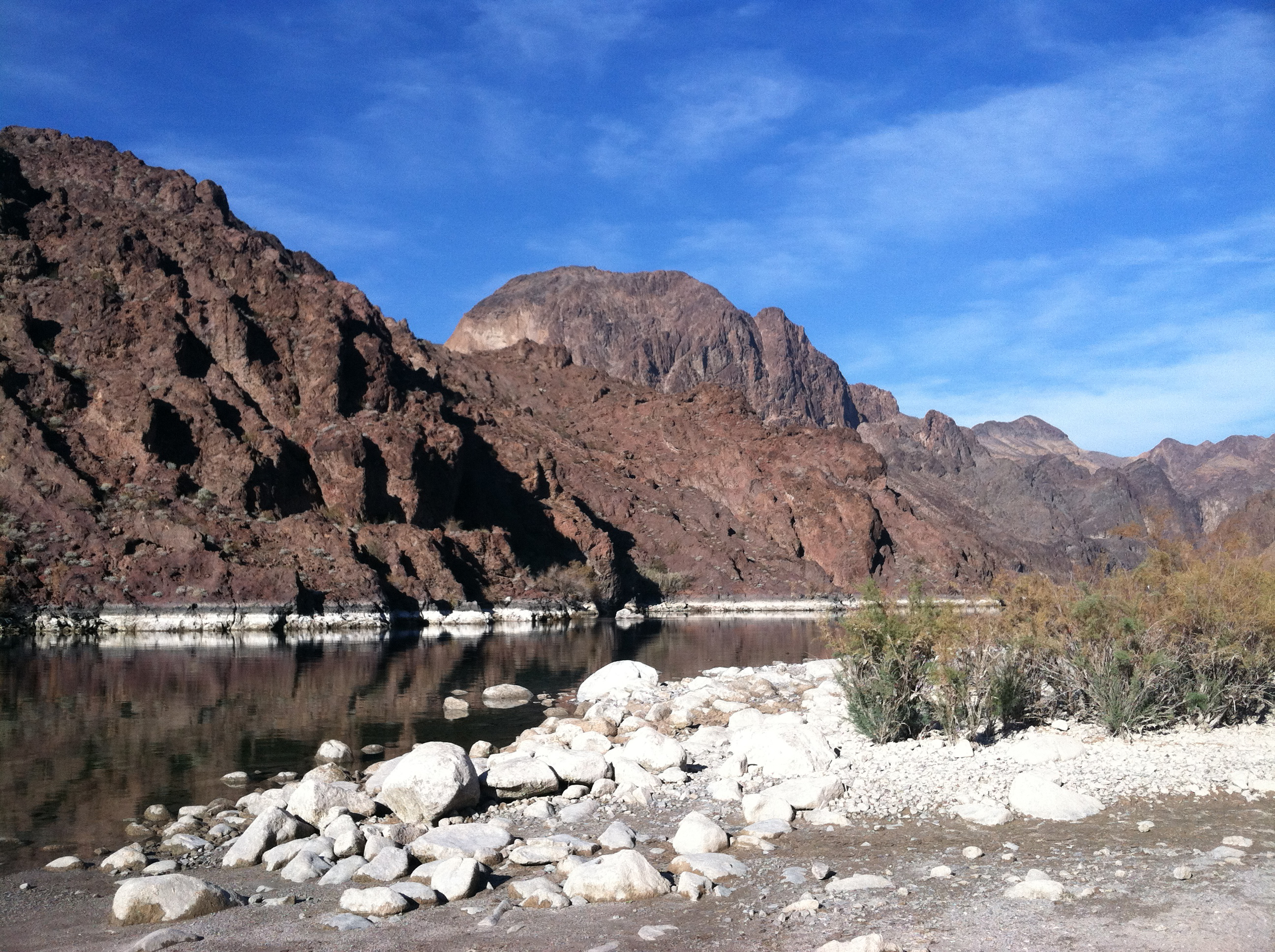
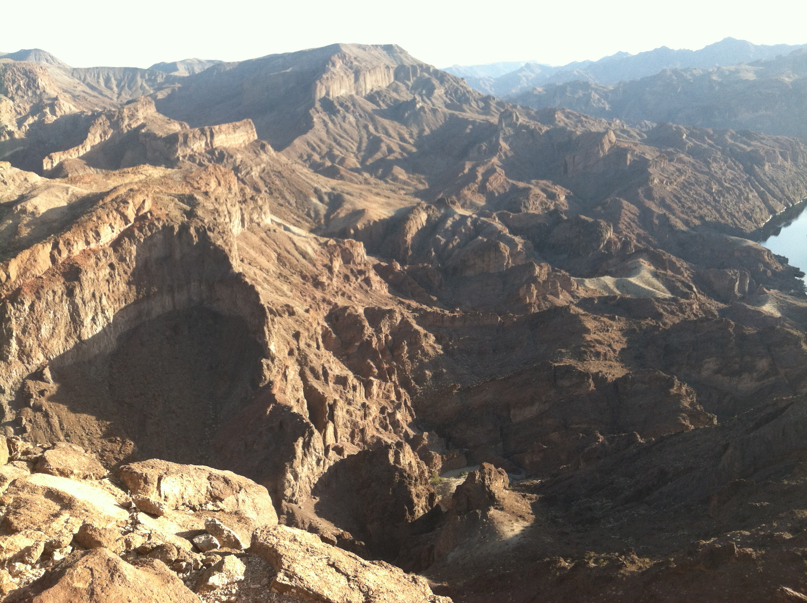
The rest of the trip was uneventful compared to the first three days, so here are a few pictures.
Love,
Dad.
P.S. Happy New Year!
