3rd Annual Backpackinglight.com San Jacinto Loop: The Good, the Bad, and the Ugly
In 2009 I posted a trip report on (BPL) of a 60+ mile loop in the San Jacinto Mountains of Southern California (Click Here).
In 2010 there was interest from several members at BPL to do the same trip with me. As it turned out, only Craig Wisner was able to make the trip. (San Jacinto Loop 2010).
Again in 2011 there was more interest in doing the trip on BPL, and three BPL’ers joined me for the trip over Memorial Day Weekend.
As it turned out, lots of people in California hit some strange Memorial Day weather. We were no exception.
We met at the trail head at 5:30 AM. Team consisted of Chad, Stephan, Josh, and me. I really did not know any of them well via BPL, but we really got along well as a team.
I had been watching the weather closely for the past week, daily checking the Palm Springs, Idyllwild, and Tram Station weather reports. It looked like a very hot weekend, but the last two days showed a cooling trend. Weather prediction was perfect for this time of year. Rather cool in the desert, and zero chance of precipitation. This time of year, heat is the biggest challenge.
We started out in perfect weather. Nice temperatures and clear blue skies for 360 degrees. One bad omen; I was tired. I had worked for 24 straight hours on Tuesday and again on Thursday, but felt fine at the start. Day 1 took me 3 hours longer than my usual pace, and my speed was the limiting factor for the team. So it took us 10 hours to hike 11 miles and gain 8,000 feet in elevation. Still not bad for an old fart.
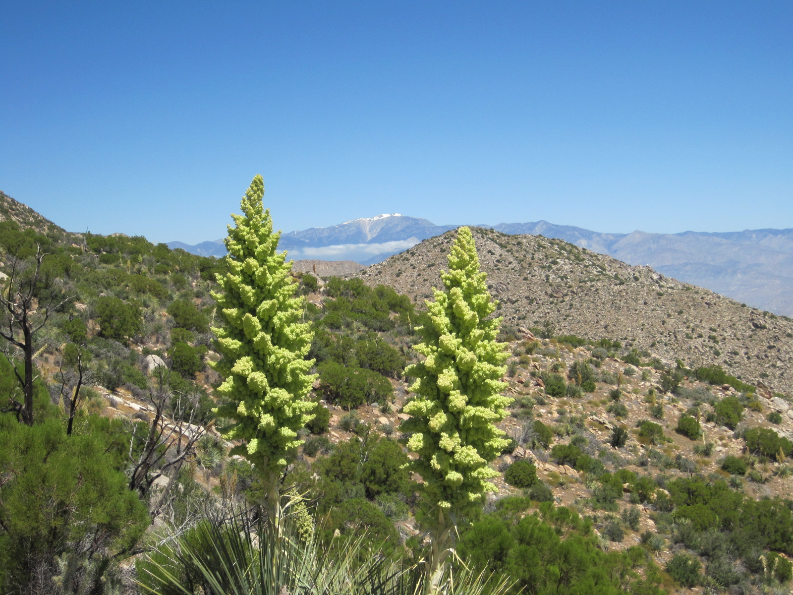
Here is a picture from about 4,800 feet looking at San Gorgonio (11,503′). Notice the blue sky. But below the peak is a thick cloud and it just sat there for a couple hours as I watched it while gain elevation. At the time I mentioned to the team that it looked very strange, because it seemed the windmills were not turning from my vantage point and normally with that kind of a weather front they would be spinning full speed.
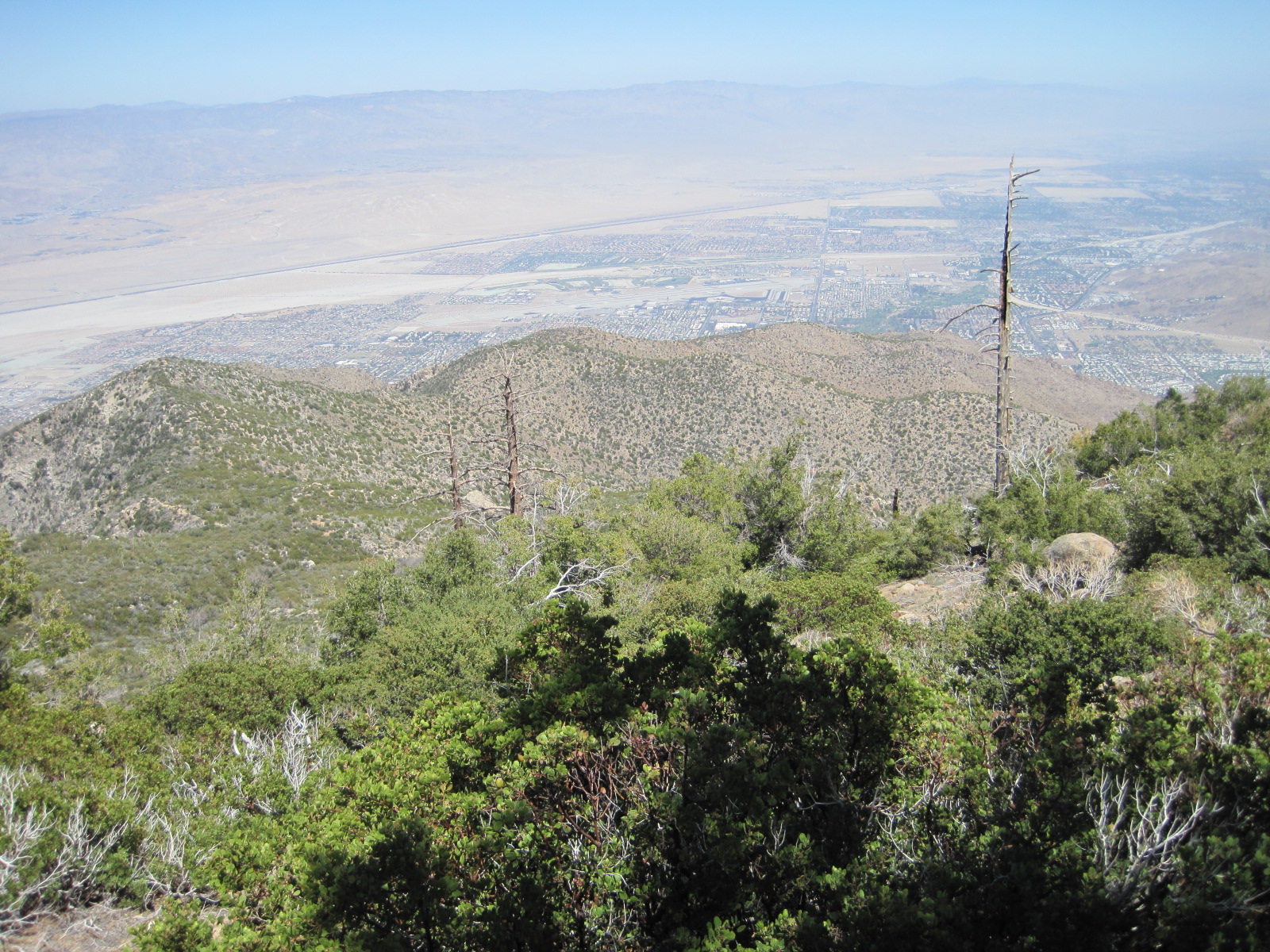
Picture at around 6,600 feet. That ridge in the foreground runs from about 4,000 – 4,600 feet. We came up from the back side of the ridge on the right. Pretty much a straight up climb from 600 feet to 4,000 feet. Notice the blue sky. From here we could see the south end of the San Jacinto range, and it was perfectly blue. It is now about 2 PM.
We get to Long Valley around 4 PM. The temperature is nice. We hustled to the Ranger Station as Josh and I are out of water; Chad and Stephan have just a little left. While they are filling up, I go into the Ranger Station to check in. The Rangers are all standing around. When I give them our permit for Little Round Valley, they just shake their heads and said we needed to go home unless we had a Mt Everest tent. A what? They said the winds were going to be above 90 mph all night. “No way,” I replied, “I just checked the weather this morning.”
Well apparently there was a freak storm heading in, and all of Southern California was under a severe weather watch. They told me people had already come down from the peak with stories of bad winds. Geesh! They also said they were expecting 65 mph winds in the lower elevations, but all the campsites were full, even though they were trying to get people to leave. Additionally they were expecting snow sometime before 11 AM the next morning!
So I go outside, and the team is lounging around in the nice warm sun. I relate the story, and they think I am pulling their legs. Then a couple of gusts hit us and the temperature starts to plummet. Another Ranger walks by and I ask him about the weather, and he tells the same story, so now the team believes me. I offer that we could probably stealth camp at a lower elevation and skip the peak since no one really wants to bail, but Chad provides the correct common sense answer; it is too dangerous with a chance of blow-downs.
We decide to take the Tram down, and check the weather in the morning to see if we can then take the tram back up and complete our loop. So off we head down the tram. When we get to the desert floor, the sky above Palm Springs is blue except for a huge Altocumulus floccus (I looked it up on the Internet) formation in the center of the sky. By now the southern San Jacintos are covered by deep dark clouds, but the area around the peak is still clear blue.
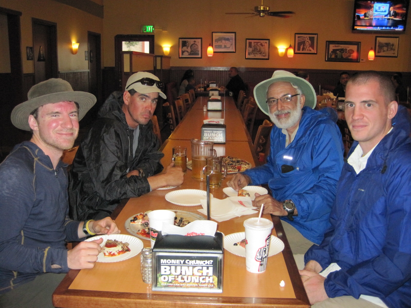
So we go to Shakey’s for Pizza before heading to my house.
Left to right: Stephan, Chad, me, and Josh.
We get home around 8 and the weather at the Tram shows 45 mph winds with gusts up to 65mpe. So we all crash for the night.
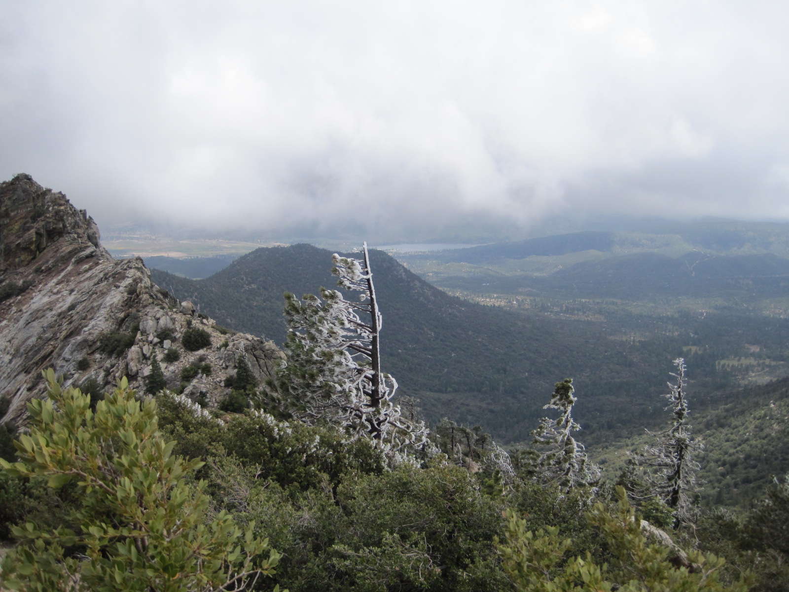
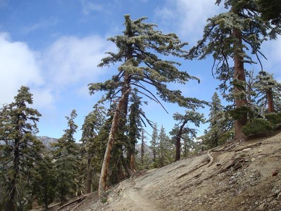
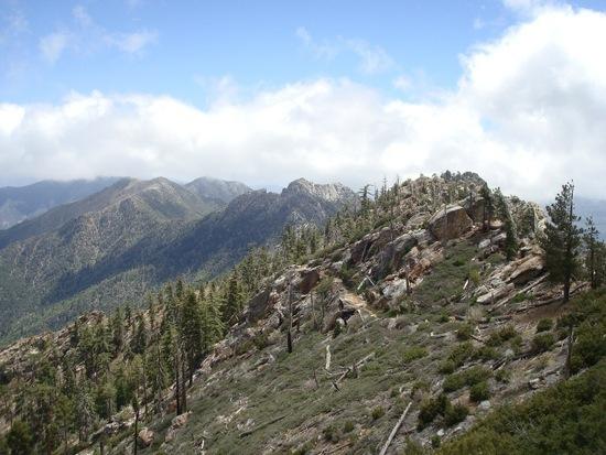
In the morning the weather calls for 20% chance of precipitation until 4 PM, and then clearing for the rest of the weekend. It is 35F at the Tram, and the high in Idyllwild will be 45F, which is a good indicator of the temperature along the Desert Divide section of the PCT. So we head up. First car up is 8 AM, so we will get started on the trail at around 8:30 AM, which is later than we really want. Hiking goes well, and it is cold and a little windy for the first 3 miles. As we head down to Saddle Junction, the temperatures begins to warm up and we get an occasional gust of wind. Once we get to the Desert Divide it is warm and no wind at all. We do several miles on the east side of the San Jacintos and the weather is perfect. Chad hikes ahead at lightning speed, and then stops to take a nap in the warm sun while he waits for us. We chat for a while and then take off towards Antsel Rock. Then the winds start to blow. A few clouds start to form and the trees are icing up in the wind when the trail crosses over to the west side of the ridge.
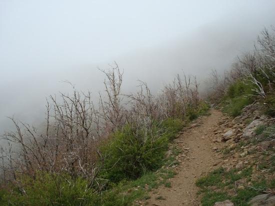
Check out the clouds and the ice on the trees.
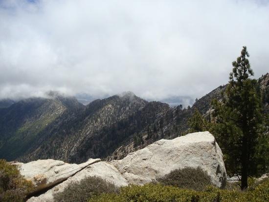
By the time we get to the back side of Apache Peak, the air is a dark black cloud of arctic air, visibility is about 10 feet, and all the plants and trees are covered in 1 inch of ice. Walking is difficult in the wind. We top out above Apache Spring and welcome the wind break of the Manzanita forest and then later protection of forest as we quickly pace south.
We get to the Spliter Peak Trail Junction and discuss our options, as the weather is getting downright bad. It is 5 PM and the predicted clearing of weather is not happening, it is getting worse. We are prepared for hot temperatures not a cold, windy, winter storm. We decide to hike to Fobes Saddle two miles away, and then make a decision. There are some nice sheltered areas in the saddle, but the saddle can have the worst weather and wind in the range. By the time we get to Fobes it is probably around freezing and getting worse. No one wants to bail, but everyone seems relieved when I push to cancel. Odds are things will get better, but if it gets worse, we will be in a bad position. For the first time ever on a backpacking trip, I had brought my cell phone, as I felt responsible for the group as the organizer. We call my wife and she drives up. After about 3 or 4 miles of hiking we meet her on the road. We can always do the trip another time, and are alive to talk about it 🙂
Well, that is the Good, Bad, and the Ugly.
All in all, it was a great time and we had a lot of fun. But everyone was bummed we bailed, and glad at the same time.
So how windy was it? Well here is a
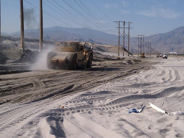
Speaking of sand, this is what Indian Canyon Drive near I-10 looked like two days after the storm. Road crews removed SEVERAL THOUSAND CUBIC YARDS of sand. This road into Palm Springs was closed for several days as workers hustled to remove the two-days of sand from the storm. Here is a picture from the local news station.
Pictures Below Courtesy of Chad Eagle
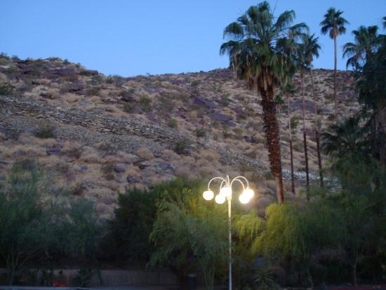 Day 1: Early morning start from the Palm Springs Desert Museum parking lot.
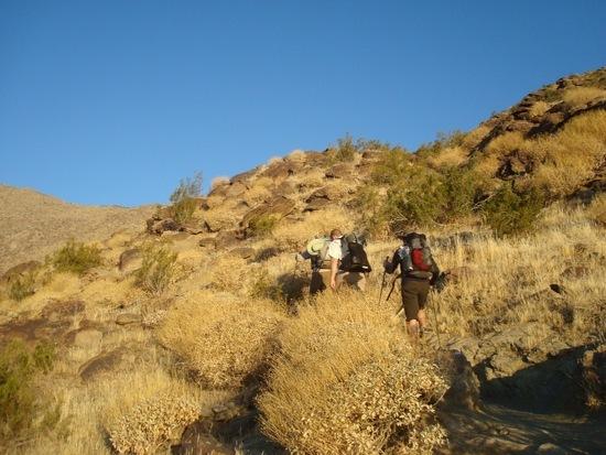 Day 1: As predicted we head up into warm weather and blue skies.
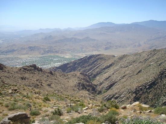 Day 1: Early morning view of Palm Springs.
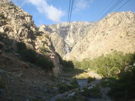 Day 1: Descending the mountain. Top of the mountain looks clear.
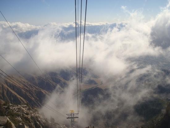 Day 1: Looking down as we descend the tram, bad weather is rolling in quickly.
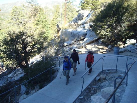 Day 2: We start the hike from the mountain tram station.
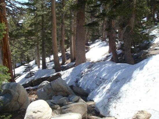 Day 2: The day starts out clear, crisp, and cold — around 32 F.
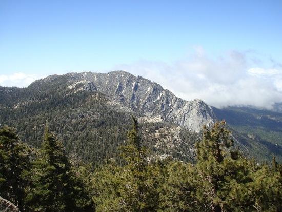 Day 2: Clearing trend — at least the weatherman and our group thinks so.
Day 2: More bad weather rolling in.
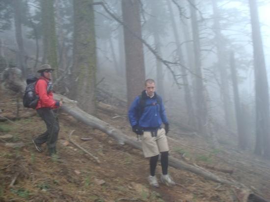 Day 2: Weather continues to deteriorate. Soon visibility will be only 10 feet.
