Part of my recovery plan after the Yosemite debacle was to visit Mono Lake. If you know and understand the history of Mono Lake, you understand the water wars of the west. Water is big business; bigger and more important than the wilderness for the power brokers and money men.
Mono Lake is one of the oldest lakes in North America. It is fed by many Eastern Sierra streams. The lake is highly saline, which makes it unattractive for commercial uses, other than tourism. It is located in the desert, part of North America’s Great Basin Desert.
At the beginning of the 20th century, the City of Los Angles’ Department of Water and Power (DWP) bought most of the water rights in the Owens Valley, which sits at the base of the Eastern Sierra, and started diverting water to Los Angeles via the Los Angeles Aqueduct. In 1941, DWP extended the water diversion up into the Mono Basin, diverting much of the water that normally would end up in Mono Lake. Below are some telling figures:
- In 1941 the lake volume was 4.3 million acre-feet (6,417 feet elevation).
- In 1982 it was half as large at 2.1 million acre-feet (6,372 feet elevation).
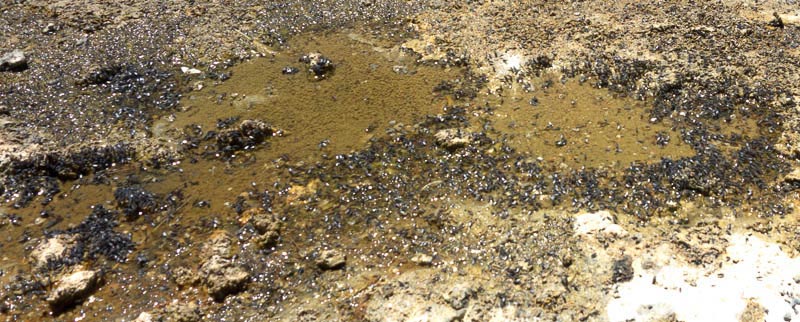
The lake has a very simple food chain. Each summer the 4-6 trillion tiny brine shrimp inhabit the lake. The shrimp feed on algae. Small birds and the alkali fly feed on the brine. Large birds feed on the flies. During the year over 2 million birds stop at the lake to feed. This includes 80% of the California Sea Gulls that live in the state.
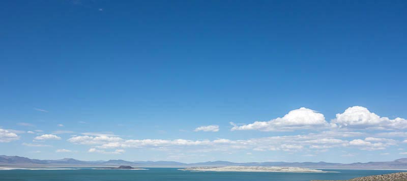
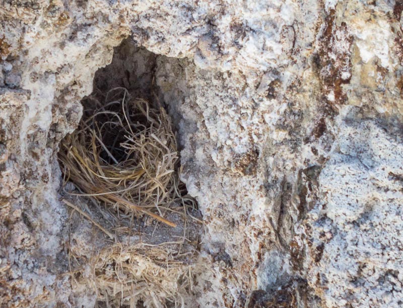
There are two islands in Mono Lake, Negit and Paoha Island. Negit is an important nesting area for the California Gull, and by 1979 the lake’s elevation dropped below 6,375 feet creating a land bridge between the shore and Negit Island that allowed coyotes easy access to California Gull nests.
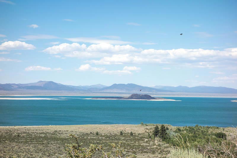
Litigation and lawsuits resulted and today the DWP must let the lake stabilize back to 6,391 feet.
A large area of the lake is accessible by 4WD vehicle, but be forewarned, most roads are rough going and extremely sandy. In addition most of the lake is accessible by foot and camping is permitted with a permit. We walked a lot of the area in complete isolation.
Human powered craft are allowed on the lake, but check with local authorities; there are a lot of rules as to where you can and cannot go. Also note that most afternoons the wind can really pick up (you are in the Great Basin Desert). Corky enjoyed the wind blowing through his hair.
More Industrial Tourism
We headed over to an area controlled by Inyo National Forest and there is a fee to park there and enter the beach. Our America the Beautiful Pass got us in free. The Government has built a paved walkway, which they know is the only way most people would be willing to visit and of course a way to generate income and keep local contractors in work.
Mono Lake Tufa
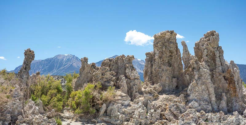
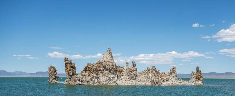
Mono Lake is famous for the Tufa towers that stand above the surface and along the shores. Tufa, similar to limestone, is formed when the chemicals in underwater springs (calcium) reacts with the carbonates in the lake water, forming calcium carbonate limestone. Over the years, the decline lake elevation has exposed many of these formations.
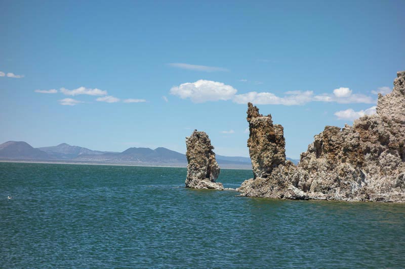
Although the tufa is something I like to see, much of it will be covered again once that lake rises to its legal level of 6,391.
When we were at the lake the elevation was 6,380 feet. I hope much of the tufa is submerged the next time we visit.
I suggest you visit Mono Lake. To learn more, Google is your friend.
After a day at Mono Lake I felt much better. Not perfect, but better. So we planned our next adventure: Mono Basin National Forest.
<– Back to Escape From Yosemite Next to Mono Basin National Forest –>


