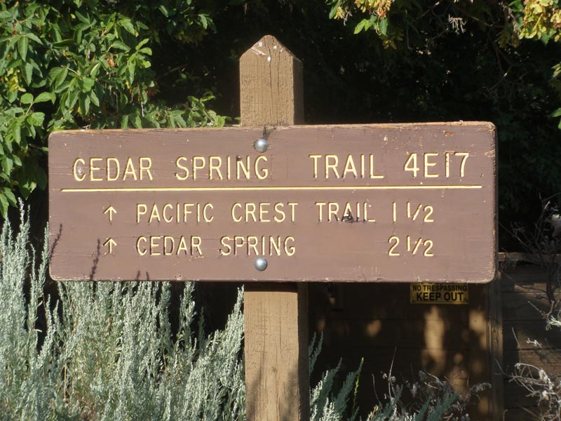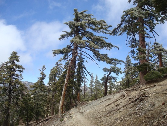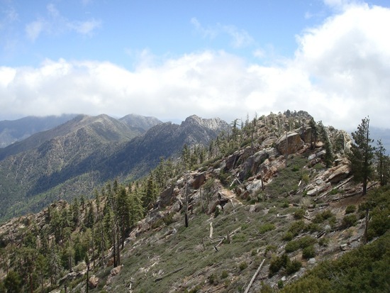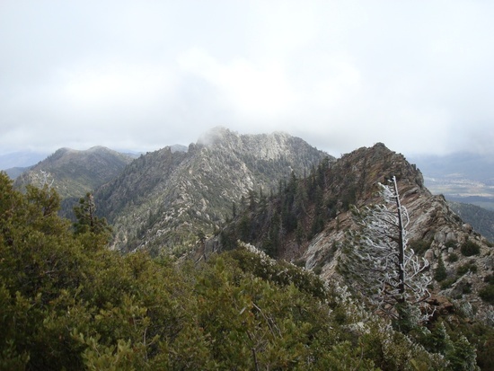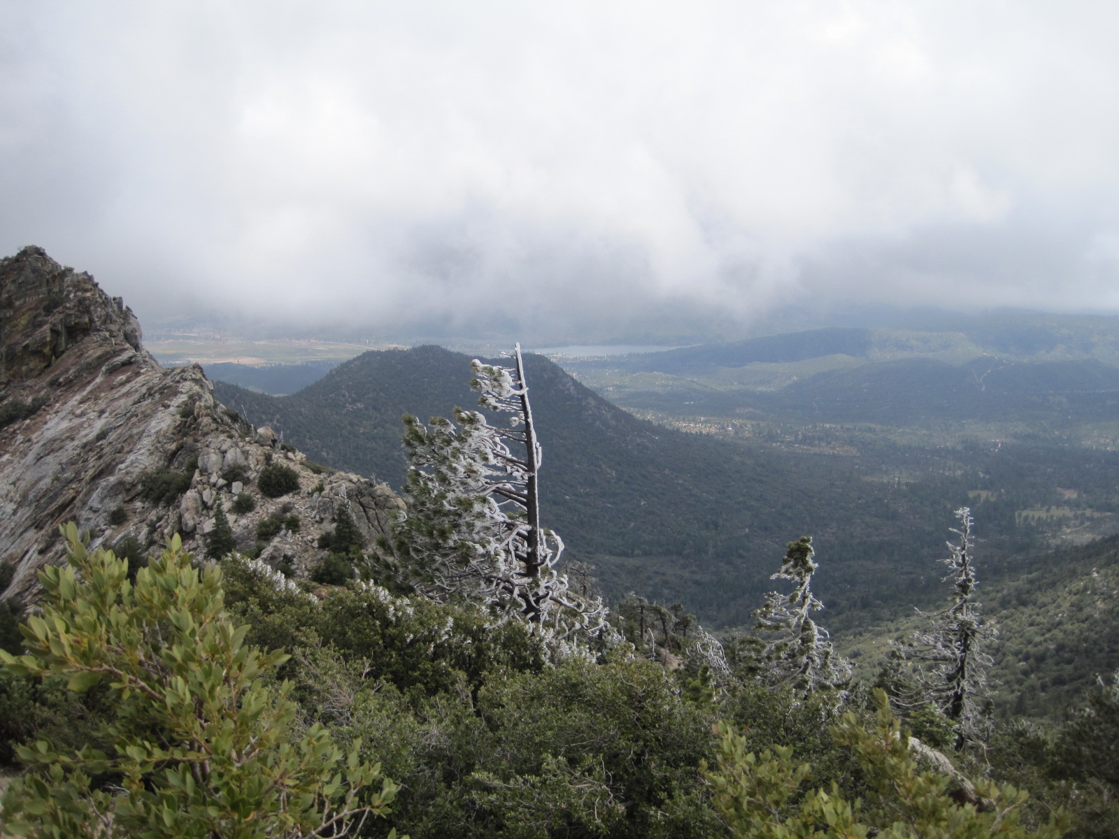
On Monday morning, July 15th, a fire started on private property in the Apple Canyon area, which is just west of the Pacific Crest Trail (PCT) along the section known as the Desert Divide. The Desert Divide is part of the San Jacinto Wilderness, and the mountain creates the desert on the east side, which is the Palm Springs area.
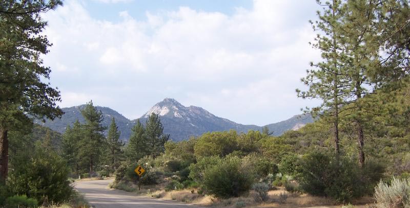
As of this morning it looks like the fire has moved north, south and east; consuming 22,000 acres and is only 15% contained. Adding to the difficulty of fighting the fire are two years of below normal precipitation, inaccessible areas, hot weather and shifting winds. Unofficial reports state the southern reach of the fire has reached Cedar Springs, crossed most of the PCT and has moved east towards Palm Canyon and Andreas Canyon. To the north the fire is now 1 mile east of Idyllwild and Fern Valley. Thousands have been evacuated.
SCRUBBED PLANS
This weekend I had planned to hike the PCT from below Cedar Springs to the Spitler Peak area. I read somewhere that this section of the PCT was the most expensive to construct due to difficult accessibility and rugged terrain. Other than the month of May, when many PCT through hikers are on the trail, there is little human traffic along this section of trail. I hike this area often, as it reminds me of the high Sierra.
FIRE AND FORESTS
Fires are natural occurrences and keep our forests healthy. For over 100 years we have been fighting forest fires, which allow an abundance of low growing shrubs, plants, and dead wood to accumulate. When these areas catch fire there is excessive fuel and the fires become more catastrophic and damaging. This is what is happening in the area of the current fire.
As humans, our life span is but a second in geological time, and burnt forests leave the wilderness traveler saddened, but over decades and centuries the forest recovers.
I am apprehensive about what this fire has done to my beloved hiking area. I will find out as soon as the area is opened again to hiking.
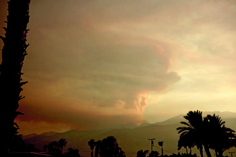
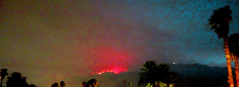
PICTURES OF FIRE FROM PALM SPRINGS WEDNESDAY NIGHT

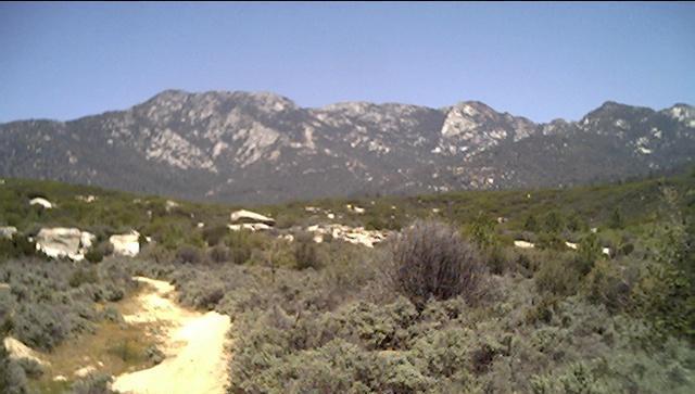
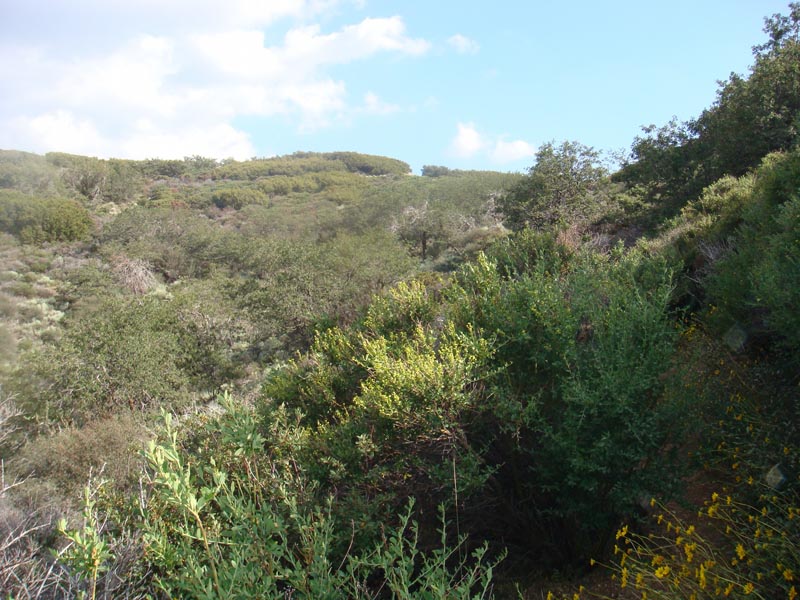
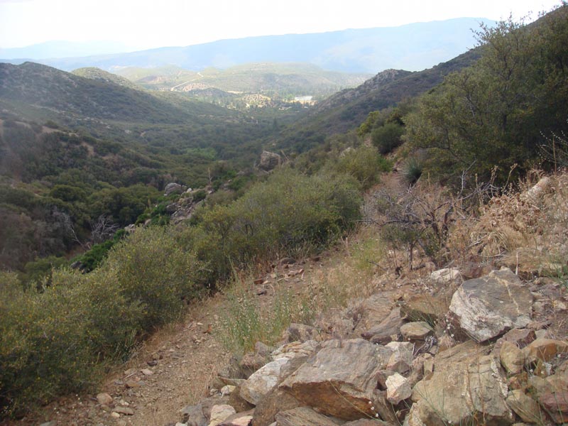
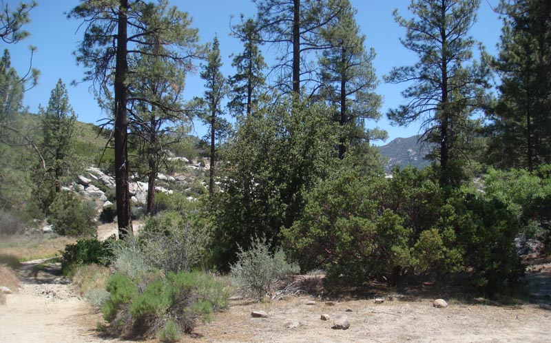
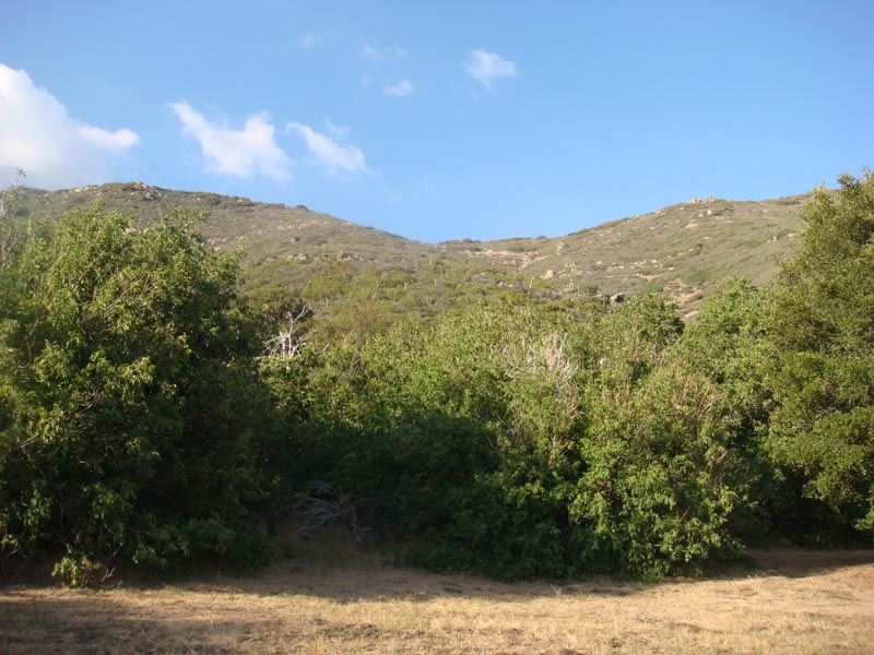
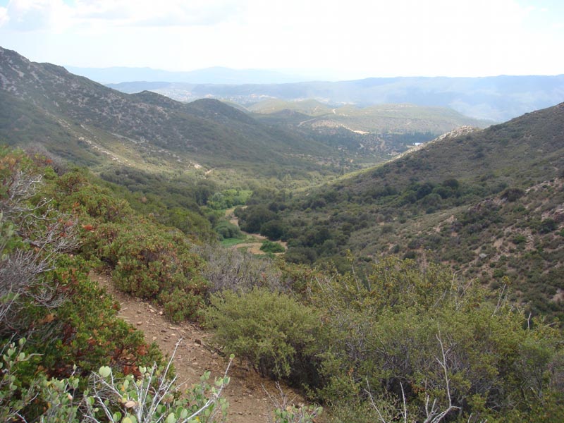
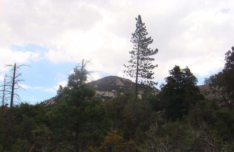
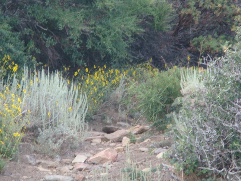
 BEFORE THE FIRE
Over the past few years I do at least one hike each year of of what I call the San Jacinto Loop. For maps of this hike and a feel for where the fire has traveled so far, day 2 and 3 of this trip report covers most of the area that has burned.
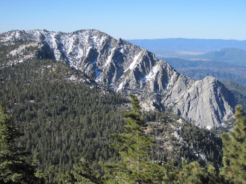
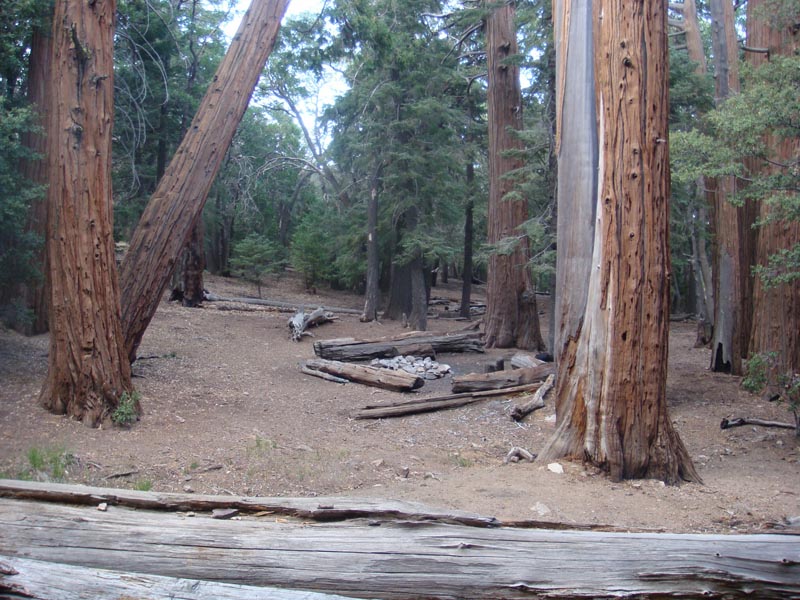
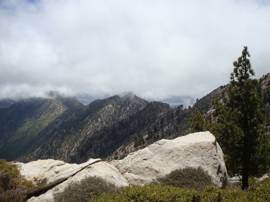
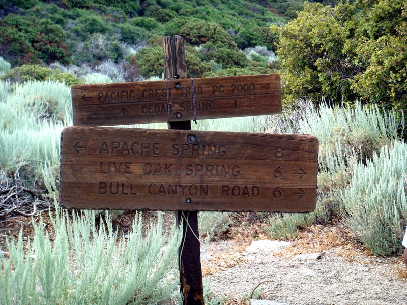
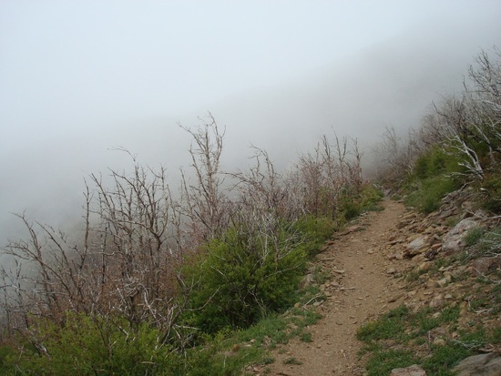
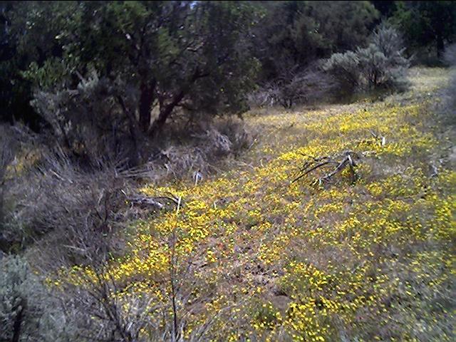
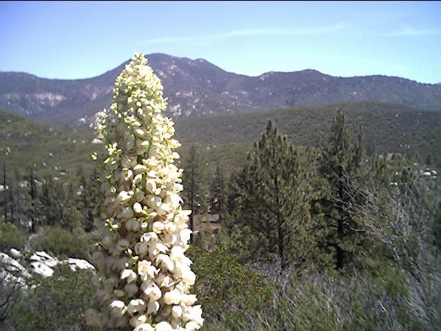
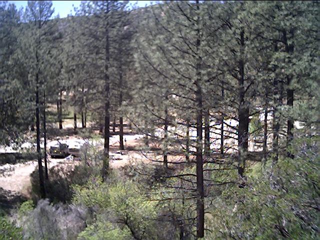
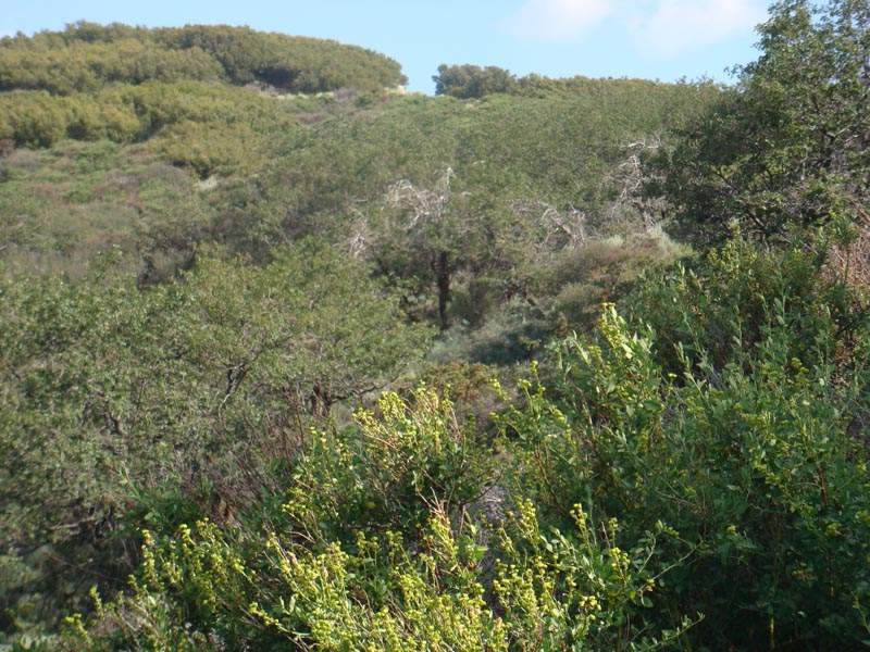
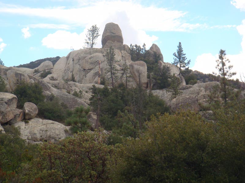
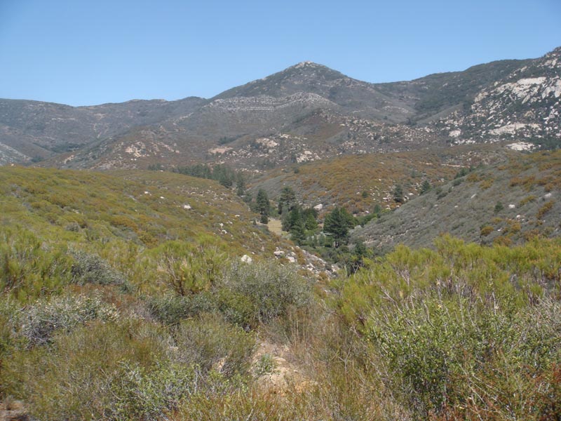
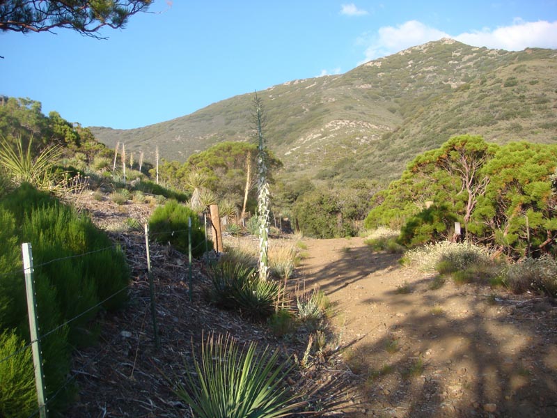
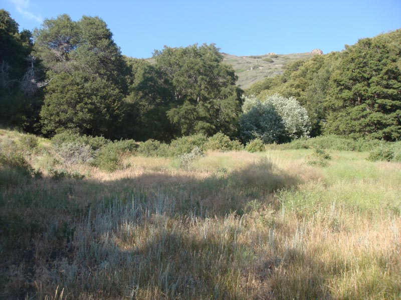
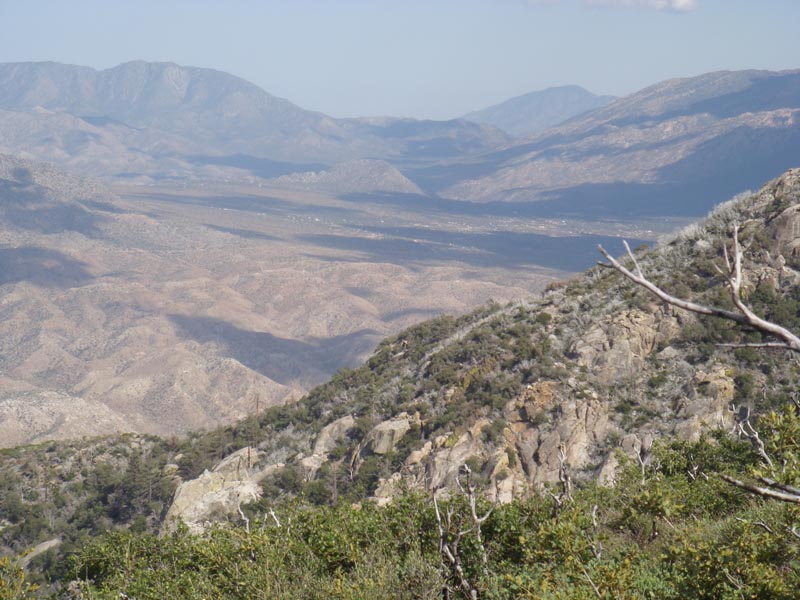
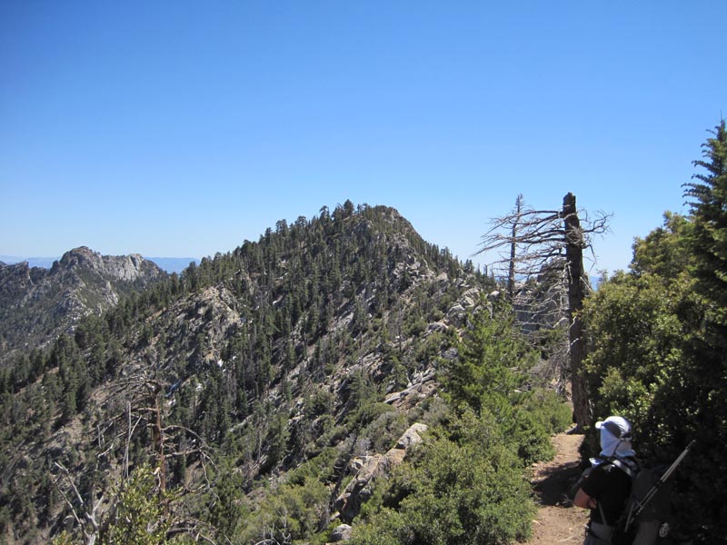
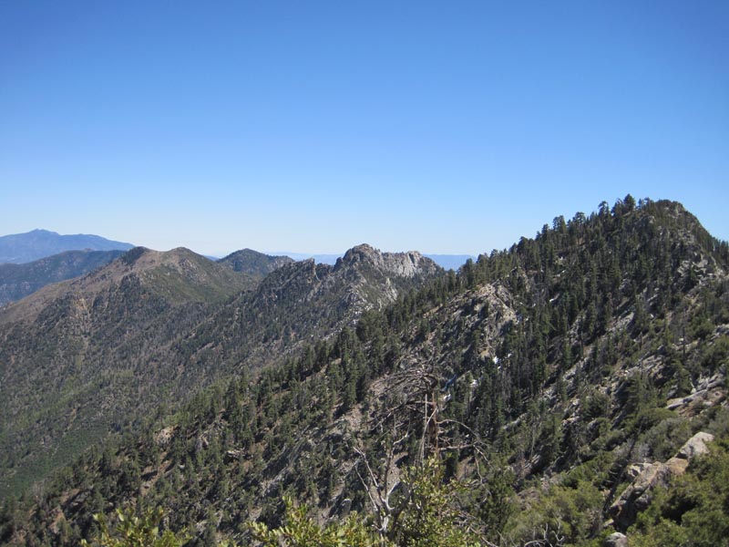
Pictures of the area that has burned, is burning now, or in grave danger of burning
