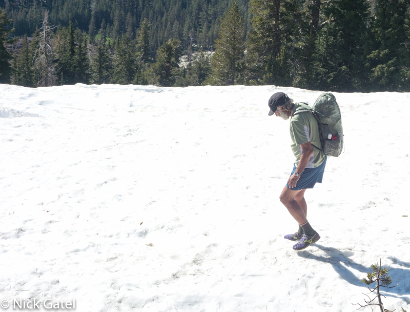
We recently returned from an extended camping trip in the Southern Sierra Nevada. It was our almost annual marriage anniversary camping trip. We have gone camping to celebrate our anniversary every year except twice, when Joyce wanted to go on a cruise instead.
Joyce had never been camping before we met and has become an avid camper. In fact, starting next year (after I finish remodeling the house) she wants to go camping several months each year. If you are a frequent reader of our blog, you know we prefer to camp where there aren’t many people and of course where there is no electricity, cell phone service, Wi-Fi and all the other “amenities” of civilization.
Continue reading 17th Anniversary Camping Trip & Some Thoughts on Marriage