4 September
Just north of Palm Springs, Interstate 10 enters the Coachella Valley skirting most of the area’s communities on its journey through the southernmost states until it ends in Jacksonville, Florida. Soon after entering the Coachella Valley from the San Gorgonio Pass, Highway 62 splits off from this major transportation artery. Heading north Hwy 62 meanders up a small canyon that travels through a gap in Little San Bernardino Mountains and then heads east. Here, for about 10 miles, the San Bernardino Mountains tower above the north side of the roadway, while the Little San Bernardino Mountains to the south complete the Morongo Basin – the beginning of a Mojave Desert drive that Hwy 62 will take travelers another 144 miles to Parker, Arizona on the Colorado River.
Early in the morning, on the best day of the year, we found ourselves on Hwy 62, camper in tow.
The Best Day of the Year
The best day of the year is the day after the “unofficial” end of summer. This “unofficial” last day is a holiday that, I suspect, most Americans couldn’t explain its history or significance; all that most people care about is that it always falls on a Monday, meaning for most people they have a three-day weekend.
This holiday, unlike many other holidays, was initially and officially designated as the first Monday in September, different than our modern Presidents’ Day. Prior to 1971, we celebrated Abraham Lincoln’s Birthday on February 12 and George Washington’s on February 22. At least back then, school children knew the actual birthdate of our two most famous presidents. Today we celebrate both these birthdays on the 3rd Monday in February, which gives government employees another 3-day weekend while most in the private sector have to work; but back to the day after the “unofficial” end of summer. This year the best day of the year was September 4th, meaning that there are still 18 days until the official end of summer; 18 wonderful days of great weather and empty campgrounds. I wrote about this a couple years ago in The Best Day of the Year?
This year on Tuesday, September 4th, we left our house, camper in tow. Unlike most of our end of summer trips that are normally in the Sierra Nevada, we headed to the Mojave Desert, or more exactly Lake Mead National Recreation Area, which is located in the southern Nevada portion of the Mojave Desert. Here, based on years of experience, we would be assured an almost empty campground. Taking the backroads and byways, we traveled for about 5 hours with very little traffic – a perfect beginning.
Highway 62
After the highway begins at its junction with I-10 and winds through the gap in the Little San Bernardino Mountains through the unincorporated town of Morongo Valley, the city of Yucca Valley, another unincorporated town Joshua Tree, and finally the city of Twentynine Palms that is also the site of one of the largest military bases in the US, Marine Corps Air Ground Combat Center Twentynine Palms. From Twentynine Palms to Earp, California and then over a Colorado River Bridge into Parker, Arizona, Hwy 62 runs 110 miles as it heads east in an almost straight line, occasionally twisting around prominent geographic obstacles. This section is mostly two-lane highway that bisects the Mojave Desert. The road ends at Arizona Hwy 95 in Parker, Arizona. Parker lies just below Parker Dam that forms Lake Havasu on the Colorado River. Hwy 62 travels a total distance of 154 miles from its beginning at I-10.
Hwy 62 marks the first major section of our journey to Lake Mead.
Freeways Suck
It would have been easy for us to travel from Palm Springs to Nevada via freeway; those monstrosities of human travel given to traffic jams, human stress and “road rage” not to mention almost zero scenic value. This is one of the main reasons we live where we do – we rarely travel on freeways – they are not part of our everyday lives.
We live in the Colorado Desert of California, which is a subset of the much larger Sonoran Desert, the hottest desert in the United States. The area we live in is often called the Lower Desert and the elevation of our house is 500 feet above sea level. It is, conveniently, only about a 15 mile drive to reach the higher elevations of the Mojave.
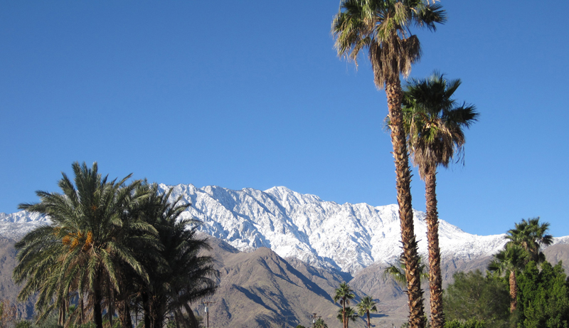
From our backyard we have dramatic views of the San Jacinto Mountains to the west and the San Bernardino Mountains to the north – the two largest mountain ranges in Southern California. Mt. San Jacinto (10,834’) and Mt. San Gorgonio (11,501’) in the San Bernardino Mountains are two of the most topographical prominent peaks in the continental United States. South and west of these ranges is our home in the Coachella Valley. As one drives south on Interstate 10 through the San Gorgonio pass (elevation ~ 1,600’) both peaks are visible from the freeway. Dropping down from the pass into the Coachella Valley, the elevation of Palm Springs is 500 feet above sea level.

Just north of our house, about 10 miles north, are the Little San Bernardino Mountains. Beyond these mountains is a valley, and just beyond this valley is the San Bernardino Mountain range. Much of the Mojave is known as “High Desert;” large areas of desert that sit at an elevation of 2,000 – 5,000 feet. But elevation does not define this desert, location does. For example the hottest and lowest spot in the U.S. is Death Valley at almost 250 feet below sea level and a record high temperature of 134F. The highest spot in the Mojave is Mt Charleston in Nevada at 11,916 feet elevation, which receives of few feet of snow each winter. Both are in the Mojave Desert.
Since we live so close to the Mojave, we drove from our house almost all the way to Nevada on backroads, which is the best way to travel, and except for the first 15 miles, the trip was entirely in the Mojave.
Leaving the house we traveled about 10 miles on a local two-lane road to Highway 62 which winds through a small canyon to the small unincorporated town of Morongo Valley; elevation 2,500 feet. The winding road passes through a gap in the Little San Bernardino Mountains, where one quickly and obviously can see the transition from low to high desert. Morongo Valley is nestled between the towering San Bernardino Mountains to the north and the Little San Bernardino Mountains to its south. Sitting in the rain shadow of the San Bernardino Mountains, the San Bernardino range prevents most precipitation from reaching Morongo Valley, creating this portion of the Mojave Desert.
Entering Morongo Valley we cross the border of Riverside County, where we live, entering San Bernardino County, which is the largest county in the U.S. at over 20,000 square miles. All of our travel from here on out would be in San Bernardino County until we hit the Nevada State border. Not only is the Riverside/San Bernardino border a geopolitical demarcation line, it is also visibly the separation between the Sonoran and Mojave Deserts. There is much to see and do along our route, so I’ll give you a taste.
Big Morongo Preserve
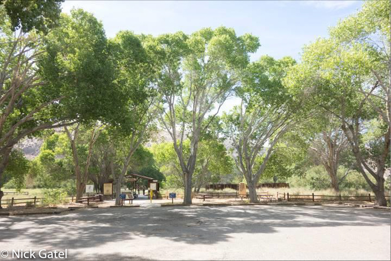
If time permits you may want to set aside time to visit the Big Morongo Canyon Preserve (31,000 acres).
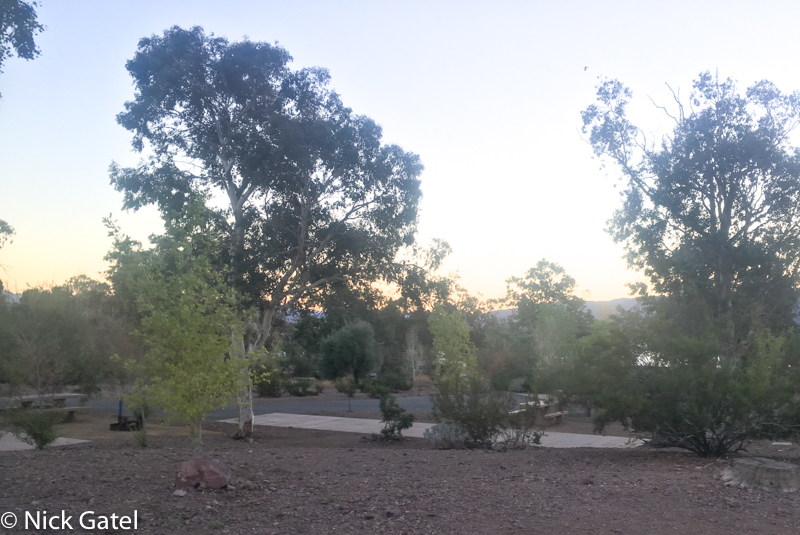
Entrance parking lot at the Big Morongo Preserve.
Camping is not allowed here, but there are several excellent shady picnic areas and miles of hiking trails. Here’s a link to a day hike Joyce and I did several years ago. Over 240 species of birds have been sighted in the Preserve. There is no admission fee to enter the preserve (http://www.bigmorongo.org). The preserve is located next to Covington Park, which is equipped to handle large groups for picnic and recreation outings. For more information call the Morongo Valley Community Services District at (760) 363-6454.
Desert Christ Park
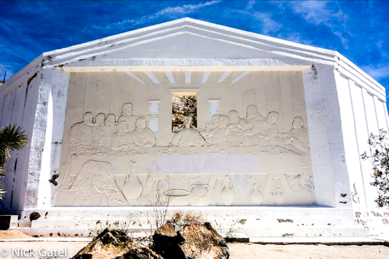
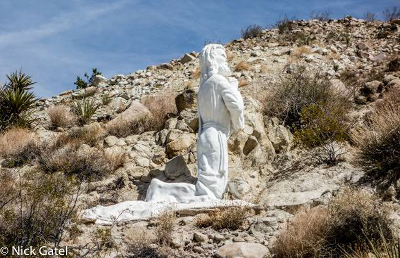
Continuing on Hwy 62, a long grade will take you to the growing town of Yucca Valley at 3,300 feet elevation. Yucca Valley about 10 miles past the Big Morongo Preserve and is just east of the terminus of the San Bernardino Mountains. Another interesting, but mostly unknown and obscure, stop is in Yucca Valley – Desert Christ Park.
This park showcases many large sculptures, the work of artist Frank Antone Martin.
There is no fee to enter the park (http://www.desertchristpark.org).
Black Rock Canyon Campground and Nature Center
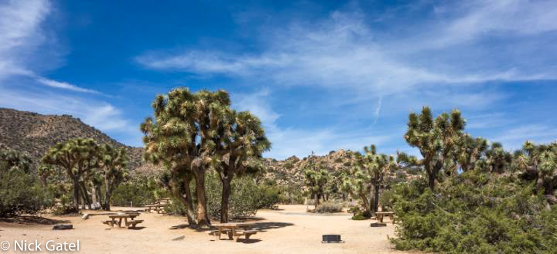
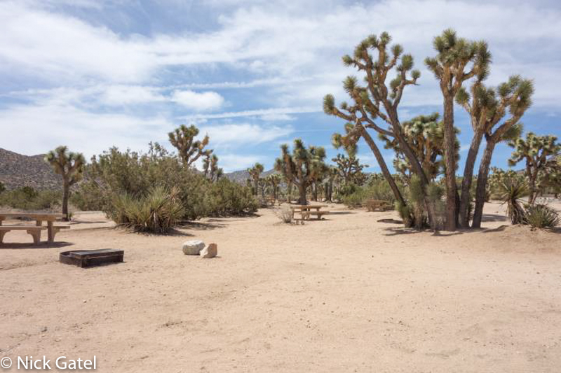
Accessible from the very center of Yucca Valley, this campground is not “inside” the main part of what most folks perceive is Joshua Tree National Park (JTNP). Sitting at the base of the Little San Bernardino Mountains, you can hike up and into the main park, but you cannot drive into the park from here. This is also the only campground in the park within a forest of Joshua trees. Nearly every site is surrounded by the magnificent and unique yuccas (no, the Joshua tree is not a real tree).
Black Rock Canyon is only one of two JTNP campgrounds that accept reservations and it is also only one of two that have water available and toilets with running water. All other campgrounds in the park do not have water and only have pit toilets. It is recommended to reserve a site if you want to camp at Black Rock Canyon Campground. Most weekends from October until April the campground is full.
Some facts about the campground
- Elevation: 4,000 feet
- Campsites: 100
- Hook-ups: No
- Water Available: Yes
- Restrooms: Running water, toilets and sinks
- Dump Station: Yes
- Reservations Accepted: Yes
The campground is only 5 miles south of Hwy 62. However, the road dead-ends at the campground and there is no direct access to the rest of the Park unless you back track and drive further east on Hwy 62. The campground is nestled in the northwest corner of the park on the edge of the Little San Bernardino Mountains.
Several trails in the hills behind the campground, to include the California Riding and Hiking Trail, can be found. Located in the center of the campground is the Black Canyon Nature Center and day use picnic area.
Joshua Tree Visitor Center and West Park Entrance
Continuing east on Hwy 62, you quickly leave Yucca Valley and enter the small village of Joshua Tree. Here you will find several eclectic antique stores, and a couple of bars that are popular with the rock climbing crowd, especially in winter. Also, Nomad Ventures has a store in Joshua Tree with good variety of backpacking and climbing supplies and equipment. The staff is knowledgable, not only about gear, but also about most of the climbing routes in JTNP. It is located on the corner of Hwy 62 and Park Boulevard. Turn right onto Park Boulevard to get to the Visitor Center or continue on to reach one of three entrances to the park.
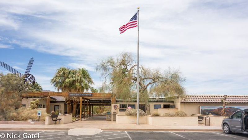
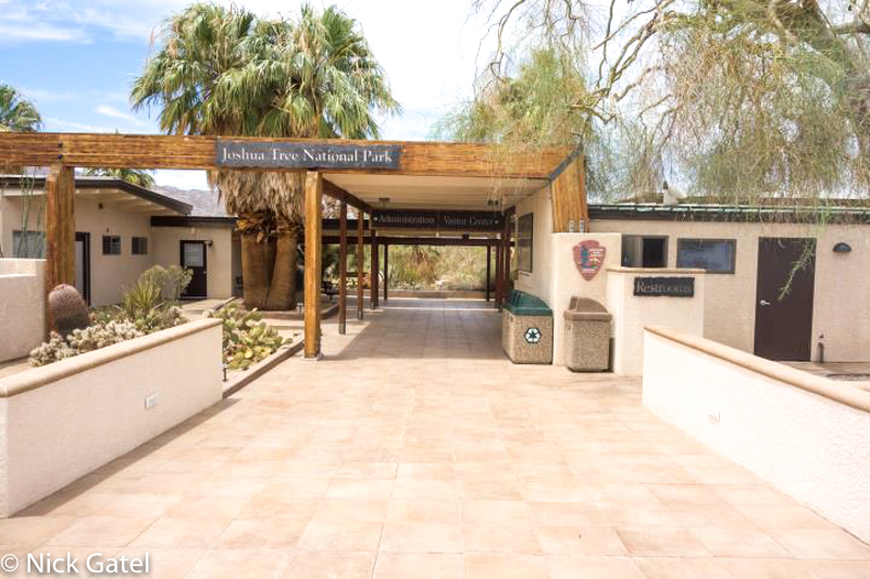
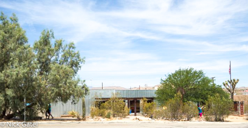 Joshua Tree Visitor Center — West Entrance
This is the most popular entrance to the park since most of the campgrounds inside the park are closest to this route.
As do the other Visitor Centers, there are rangers on duty to assist visitors, Maps, books, reference materials and souvenirs are for sale.
Back to Hwy 62, where we will take a right turn and head east to Indian Cove campground.
Indian Cove Campground
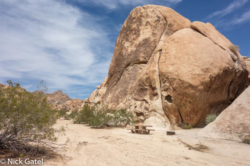
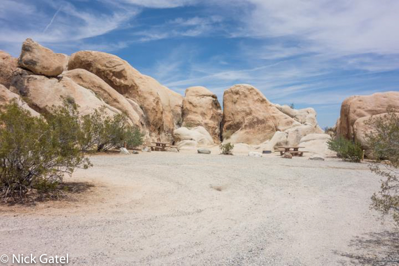
Located at 3,200 feet, this campground has the lowest elevation of all the JTNP campgrounds except Cottonwood (think hot for much of the year). It is the most spacious of all the campgrounds and provides the most dramatic rock-background sites of all.
Some facts about the campground
- Elevation: 3,200 feet
- Campsites: 101
- Hook-ups: No
- Water Available: No
- Restrooms: Pit Toilets
- Dump Station: No
- Reservations Accepted: Yes
Just like Black Rock Canyon, reservations are recommended and there is no direct access to the Park from this campground other than hiking up to the Boy Scout Trail or up strenuous Rattlesnake Canyon.
There is no water in the campground or a dump station. Pit toilets are conveniently located through the campground. The campground is known for its large rock formations and plentiful Mojave Yuccas. Campsites are well spread out throughout the campground. A 0.6 mile nature trail is located in the campground.
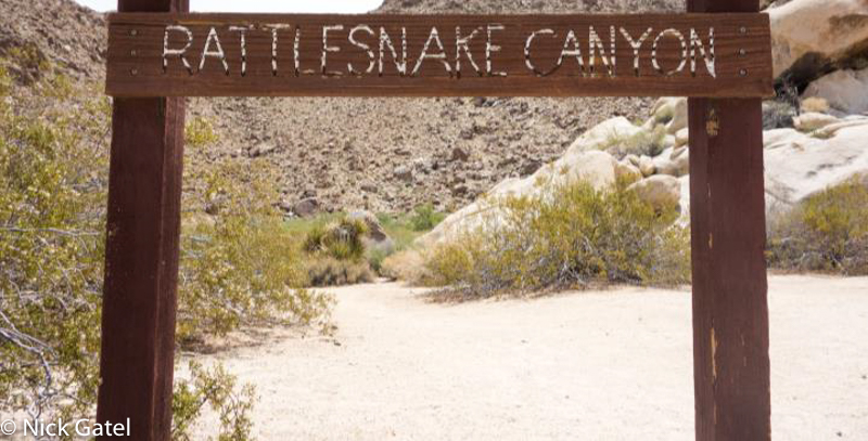
A dirt road at the southeast corner of the campground leads to a day use area with picnic benches and grills at the mouth of Rattlesnake Canyon. Only experienced hikers with proper gear should attempt to hike into Rattlesnake Canyon. In recent years, this area is periodically closed due to damage in the canyon from vandals.
Okay, time to head back to Hwy 62.
49 Palms Oasis
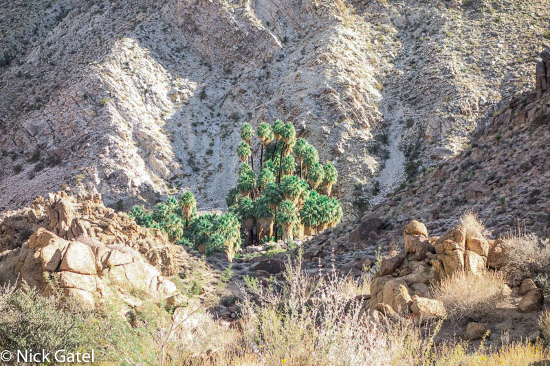
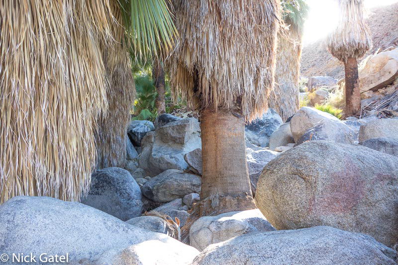
Continuing east on Hwy 62, turn right on Canyon Road. This is a day use area only with a well maintained trail to the palm oasis. The trail is 3 miles round trip and makes wonderful side trip when camping at Indian Cove. Are there 49 palm trees at the oasis? I don’t know — I never thought to count them until now.
Oasis Visitor Center and the North Park Entrance
Continuing east on Hwy 62 to the city of Twentynine Palms, we finally come to the Oasis Visitors Center, which is also the Park’s headquarters. A water faucet for campers is available here.
Of the 3 visitor centers in the park, this is the largest and the nicest. The Oasis of Mara is located behind the visitor center. The Oasis has significant historical importance for the area. First settled by the Serrano Tribe, who planted 29 palm trees there, it is well worth a visit. There is a self-guided tour of the oasis and several picnic benches for visitors.
Leaving the visitor center you can head south on Park Boulevard towards the entrance gate. Pay your entrance fee or get in free if you have the appropriate America the Beautiful pass. But this isn’t the route we took on this trip.
Instead of continuing on via Hwy 62, which would have taken us far south of our final destination, we turned left on Adobe Road in Twentynine Palms and headed north.
Twentynine Palms
Twentynine Palms is called the City of Murals and many of the buildings are painted with murals. Many are Marine Corps oriented and others depict the early history of the area. Given that Twentynine Palms is Marine-oriented, unlike most towns that have a pharmacy or convenience store on most corners, the town is dotted with barber shops and tattoo parlors. The city is clean and well kept.
About three miles after we turned onto Adobe Road, we made a right turn onto Amboy Road. In a few minutes we were in Wonder Valley, heading east. I always enjoy driving through this section, although most people will not enjoy the drive because there are no stores or gas stations. Wonder Valley was mostly unpopulated until the Small Tract Act of 1938 was passed. This act allowed the homesteading on 5 acre parcels, where a person could improve their parcel and obtain ownership and then the Federal Government would transfer ownership of these public lands to individuals who built a home, business, or recreational structure. Today many of these cabins are abandoned and falling apart, but a few hardy souls live in the area and have built modern homes. Today Wonder Valley is known as a destination for artists, particularly given its close proximity to Joshua Tree National Park. It takes about 30 minutes to drive through Wonder Valley, where Amboy Road makes a sharp left turn and heads north through a pass separating the Bullion Mountains on the left (most is off limits due to being part of the Marine Corps base) and the Sheephole Mountains on the right. The Sheephole Mountains are part of the Sheephole Wilderness Area and is within the Mojave Trails National Monument.
Descending from the top of the pass you will soon drive through a narrow area that consists of salt evaporation ponds on each side, which the National Chloride Company of America extracts calcium chloride from this ancient lake bed. Often the ponds are deep blue turquoise in color. These ponds are on private property and can be dangerous, so don’t trespass!
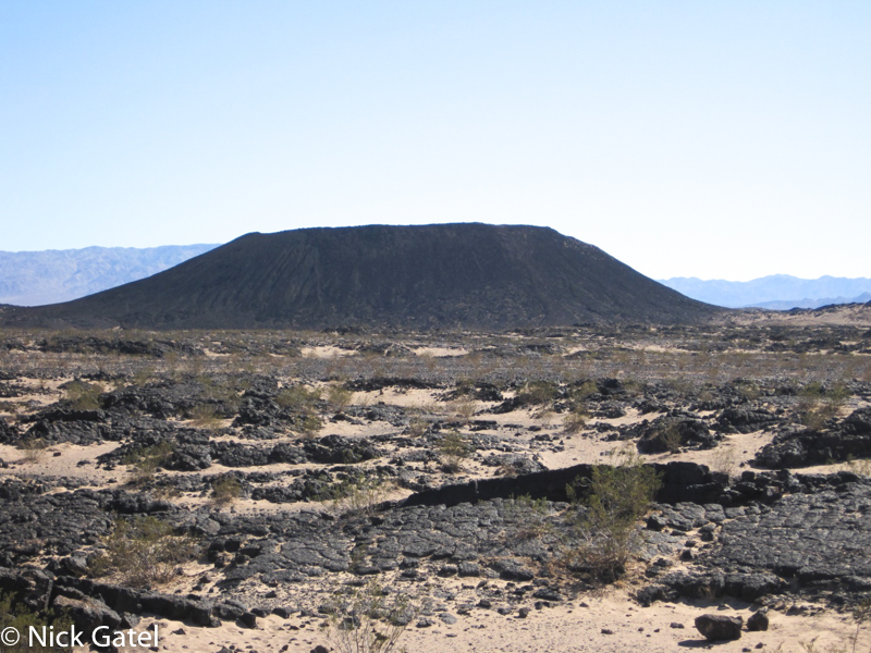
Amboy Crater
Shortly after passing the evaporation ponds, the road intersects Historic Route 66. A left turn here and a quick 3 mile drive will bring you to Amboy Crater, an extinct cinder cone volcano. It’s about a mile and a half to the access road and another 1.5 miles to the parking area.
The crater is within the newly created Mojave Trails National Monument. There is a trail that leads into the crater itself. Camping is allowed in some areas but there are no facilities except for pit toilets in the visitor parking lot.
Heading back to Route 66, turn right and head towards the “town” of Amboy, population: 4.
The famous Roy’s Café is still in operation. It was once a busy stop for travelers on Route 66, but once Interstate 40 was built in the early 70’s the town diminished as travelers opted to drive I-40, 17 miles away from the town. Today Gas is usually over $5 per gallon, and very expensive snacks are available. But it is worth the stop to take in some of the history of Route 66. Here the elevation is only 700 feet and in summer 120F or higher temperatures are common.
Continuing east on Route 66, the road has been closed at the intersection of Kelbaker Road for a couple of years. Local traffic is allowed to drive on to Cadiz. The closure is due to damage to roads and bridges from flashfloods, no opening date has been announced. Prior to the closure, this section of Route 66 was our peaceful and mostly empty route to camping in the Mojave Preserve and also the road to Needles, California where we would connect to Hwy 95 north to Lake Mead.
So we turned left on Kelbaker Road.
The Mojave Preserve
Kelso Dunes
Ten miles along Kelbaker Road brings you to Interstate 40. We could have taken I-40 east to Needles and then head north on Hwy 95, but we want to avoid freeways… remember? Driving under the bridge at I-40, it is about ½ mile to the Mojave Preserve boundary. A wonderful long incline, the road skirts the southern and eastern flank of the Granite Mountains and then descends at Granite Pass. A few miles down the road and to the left are the Kelso Sand Dunes.
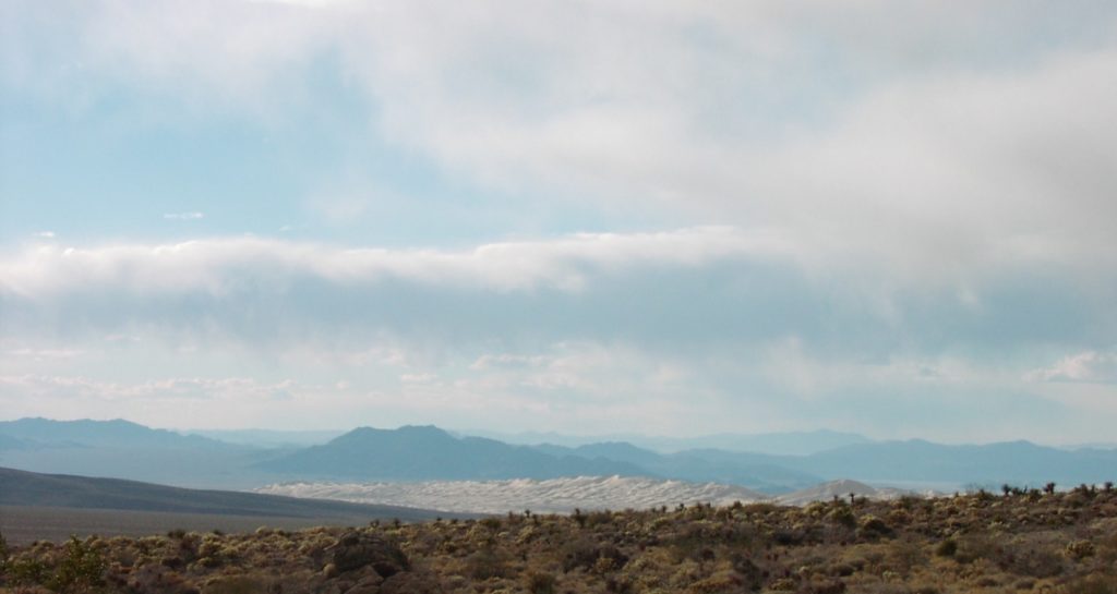
A fairly well maintained 3 mile dirt road takes you to the base of the sand dunes, which covers 45 square miles. You can hike on the dunes, and off-road vehicles are prohibited. Near the end of the road is a primitive campground, but it is often occupied. Return to Kelbaker Road via the Kelso Dunes dirt road and turn left. In about 10 or 15 minutes you will arrive at the ghost town of Kelso. Turn right on Cima Road and then right into the paved visitor parking lot. Restrooms and running water are available here.
Kelso Depot
Kelso Depot is a restored train station and contains the park’s headquarters, visitor center, and a small museum. Definitely worth the time to stop and explore.
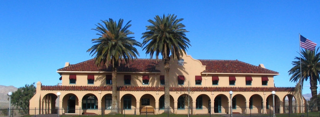
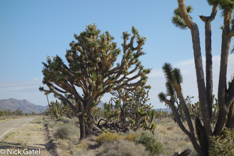
From here we continued eastward on Cima Road past the now closed Cima Store. Veering right onto Morningstar Mine Road, we were in the midst of one of the densest Joshua tree forests in California.
This is always such a delightful place to visit. From here the road descends down into the Ivanpah Valley, were we made a left turn on Ivanpah Road, then on to Nipton Road. One option here is to turn right, drive to Searchlight Nevada, then north on Hwy 95 to Lake Mead. However, since we were towing a trailer, we wouldn’t have enough gas and gas is expensive in Searchlight. Plus, it is somewhat of a long detour. So we turned left instead and in a few minutes were sliding down an onramp onto Interstate 15, about 5 or 10 minutes from the California/Nevada border. Our backroad journey was over and now freeways would whisk us to our campground an hour away.
End of the Road: Lake Mead National Recreation Area
Arriving at our campground we found about 5 sites occupied out of almost 150. The sites closest to the view of a man-made lake were favored by our new neighbors, so we opted for a site as far away from these lake-view spots as possible.
After setting up our campsite, Joyce made a couple ice cold Margaritas, mixed and blended with ice in our electric blender. Later we prepared a meal of chicken and salad, which was followed by several quiet hours watching the night sky.
You can read about a similar trip when I hiked from our house to Lake Mead and back way back in 2000, Backpacking 500 miles in the Mojave Desert.

