
According to this article at REI, “Type 2 fun is miserable while it’s happening, but fun in retrospect.”
At the end of October I did a 5-day backpacking trip with my friend Peter Vacco. Unfortunately our 3rd hiking partner, Doug, had to cancel at the last moment to attend to a family matter. He may be glad he had to miss the trip after all, because Day 3 of this trip was definitely Type 2 fun.
From the get-go I should have realized that this was going to be a different kind of trip. The first hint was Peter’s new pack, which he proudly showed me and announced that his base weight was less than 15lbs.
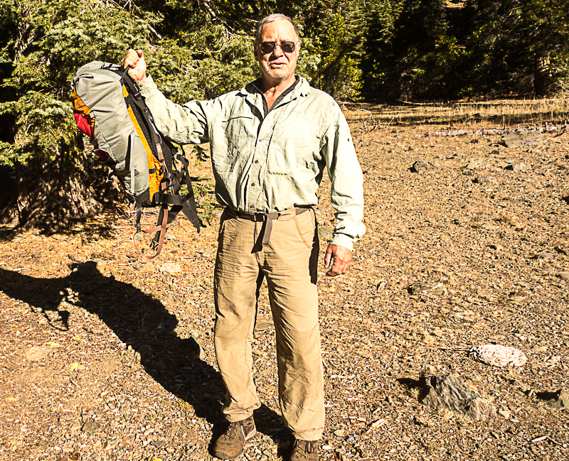
In the ultralight backpacking world, less than 15lbs isn’t even considered light. But Peter isn’t an ordinary backpacker. In fact, most of his trips can’t even be called backpacking – expeditions would be more appropriate. For him, packing 30 days of food between resupply points is common operating procedure; meaning he is often carrying 60lbs of consumables in addition to his gear and he does these trips solo.
So my first question was, “Does this mean there will be no cheesecake?”
“No,” was his reply.
Notice I said, “no cheesecake.” When backpacking with friends on a trip like this, he usually brings several cheesecakes to share with his friends.
The second hint of things to come were plainly communicated in our emails. In typical e.e. cummings style, he casually mentioned part of our route:
any respectable hike should include an adventure, and the route from Burnt Creek to Chicago Camp is up the nose of a ridge sans trail. it “looks fine on google”, which, while normally the kiss of death to any off-trail venture, this at least shows we did our diligence.
The last hint was this sign, which didn’t register in my brain on our drive up and I captured on the drive out:

Day 1
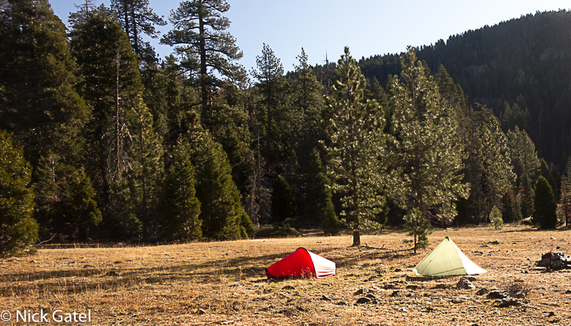
A rather short hike to our first night camp.
Day 2
This day was up over the ridge in the background of the picture of our previous night camp (above) and then working our way down to a “valley” where there is a reliable creek running year round. The trail was well marked and the walking was easy with nice weather. About 2PM we took a break and Peter off-handedly mentioned that we would be hiking through a burn area that the Forest Service finally opened a couple years ago. Rested, we resumed walking and the trail quickly disappeared. There were so many downed trees from the fire that even trying to find the trail wasn’t an option. We identified a flat rise in the distance where the trail should be and headed in that direction.
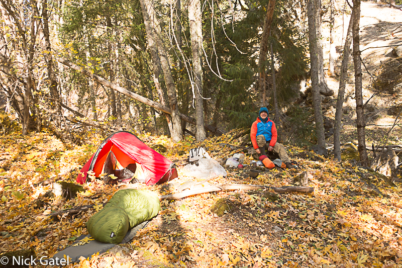
One good thing about forest fires is they foster the growth of new trees. Between us and the identified flat rise was a new forest of saplings. So many saplings of 3 to 4 feet in height that is was extremely difficult to find firm footing on a steep hillside (since they were growing like weeds), which was also littered with downed trees that were well camouflaged by the new growth. We finally found the trail and it soon disappeared again, as it had probably been several years since anyone had hiked the trail. Finally, leaving the burn area behind, we found the trail again and made it to the creek. It was getting dark and we found a less than ideal spot to camp for the night… really not large enough for both our tents, so I just slept under the stars, which is my preference anyway.
Day 3
As we were packing up Peter said, “Bring extra water. It’s going to be a long day.”
What an understatement!
So we were off on a nice trail shaded by nice tall trees. About 30 minutes later, he stopped, looked to his right, and said, we need to hike up this hill. I mentioned it wasn’t a hill but the steep side of a mountain and I didn’t see a trail.
“Nope. No trail. We have to go straight up for a couple thousand feet until we hit our first peak. Then continue up the ridgeline until we hit the second peak, which is the end of our off-trail ridge, and we can then walk a couple of miles to the next trail.”
For several years Peter had wanted to explore this route and today was the day.
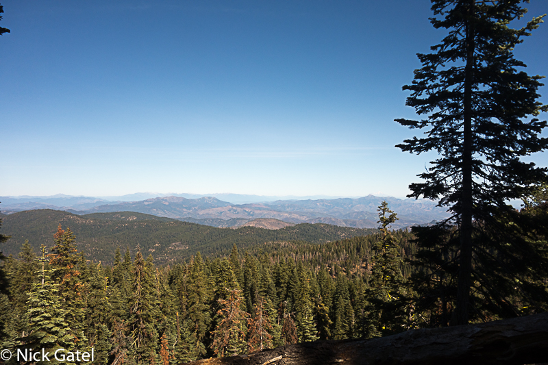
Going straight up was impossible. We serpentined through thick brush at times and worked our way around downed trees. All-in-all it was pleasant walking as we made our way out of the valley and could watch the hilly terrain of the Yolla Bolly Wilderness come into view.
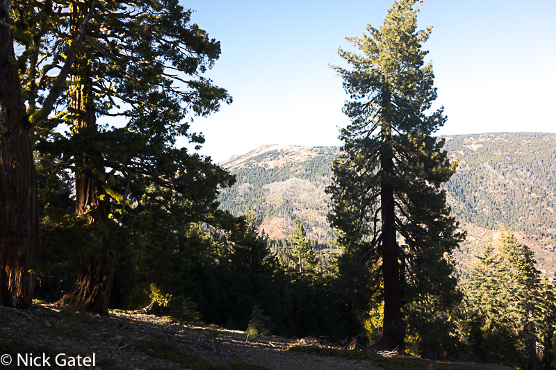
THE RIDGE
We finally made it close to our first peak, which was a huge craggy rock. We headed left to get around it, but it was too steep to travel and the ground was covered with loose soil. Moving around to the right side, Peter declared, “This side is doable.”
But that side was all small loose talus just below the rocky crag and the slope was very steep. I followed him as he made his way along the side of the slope just below the rocky ridge. A few hundred feet later there was a gap in the rocky ridge and we worked our way up. But ahead was the same terrain we had just circumnavigated. Loose soil on the left and more talus on the right. We crossed to the soil part on the left, climbed up over the front edge of this next rocky crag to the right side and were on talus again.
We kept doing this. A gap – walk to the left of the next crag – over the front of the rocky crag and traverse more talus. We were gaining altitude and in the distance we could see the last peak; and it was basking in trees and nice, fairly level soil. The question was… could we get to it.
DOABLE
Peter led the way around each segment of craggy ridgeline. He would walk a short distance, turn around and declare it was “doable.” As he walked he would kick steps in the talus and I followed his footwork, placing my feet in the steps he had kicked. But each craggy section was more difficult than the preceding and turning around to head back down the ridgeline might prove to be even more difficult than continuing. So we pressed forward not even thinking about turning back — yet.
We were making progress and the next peak was getting closer.
Peter disappeared around another crag section and yelled out, “It’s doable!”
Coming around this crag, he was standing on the other side of sheer wall of rock. “There’s a six inch ledge, just inch yourself across,” he reassured me. Peter’s arm span is longer than mine, and I couldn’t find the last handhold to get across this vertical rock formation and there was nothing but several hundred feet of loose talus below me. He grabbed my right hand and pulled me so I could get that last handhold. On the other side of this obstacle was a steep gully, too steep to walk, and we had to hold on to rock formations to move around the end of this crag. Again going to the left side of the next crag, there was no way to climb over it. However, we were almost to the next peak. I suggested we traverse the left slope above some bushes, which would break our fall, should one of us slip. Carefully Peter led the way and we were soon on the peak.
I now knew what doable means to Peter. If one is extremely careful, one probably won’t die… at least not today with a little bit of luck.
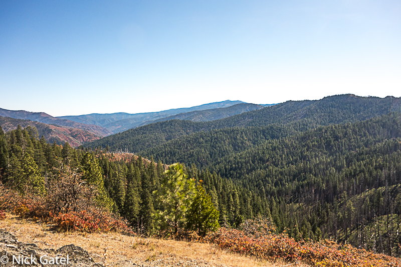

We went over the peak and descended a few hundred feet to a saddle below a peak about the same elevation as what we had just walked down. We would need to climb up that next peak, which wouldn’t be difficult and then descend down to a trail, as per our maps. But it would soon be dark and a cold wind was starting to blow. A saddle isn’t a good place to be in the wind, so we found a somewhat sheltered spot, set up our tents and went to bed. We were both too tired to cook dinner, plus we didn’t have much water. The wind subsided and it was a calm night.
Day 4
A beautiful morning. Up over the next peak and down, and we were soon on the trail. Low on water we found the spring on our map was flowing water. The afternoon was spent going up over another ridge and then down to the same spot we had camped at on Day 1. Campfires are allowed in much of the Yolla Bolly Wilderness, so we built one to keep us warm while discussing the past four days.
Consensus opinion was it was a great trip, and neither of us want to do that ridge-walk again.
Day 5
A leisurely breakfast and we packed up our gear. Took less than an hour to get back to the car and even longer to locate a store along the road home that sells beer 🙂