A couple weeks ago I joined a group of friends for a backpacking trip in Northern California in the Trinity Alps Wilderness. It has been quite a while since I wrote about a backpacking trip here on PopUpBackpacker, mostly because I find trip reports to be time consuming to put together and the entire process is somewhat boring for me. However, this is a special case.
On the second day of our trip, Doug and I separated from the group to do a loop that Doug had planned. So this post is for the rest of the group who opted not to do the loop.
At over a half million acres, the Trinity Alps Wilderness is one of the largest designated wilderness areas in California. It is located in the Klamath Mountain Range between the Sierra Nevada and the Cascade Mountains.
Day 1
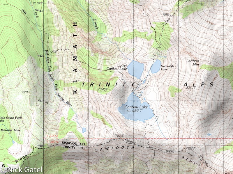
Our destination was a flat area between Snowslide Lake and Lower Caribou Lake.
These lakes are nestled in a granite bowl west of massive Caribou Mountain.
We left our vehicles at the Big Flat trailhead and began our hike around 8am crossing the South Fork of the Salmon River. We would gradually gain about 2,000 feet of elevation over eight miles and then drop down into the Caribou Lakes basin for a total of nine miles for the day. The first four miles are a gradual incline walking up long switchbacks in a shady conifer forest and most of time Caribou Mountain isn’t visible from this section of the trail. At about the halfway point, we took a snack break at Caribou Meadow. Once we left Caribou Meadow, the trail steadily gained elevation as it hugged the flank of Caribou Mountain.
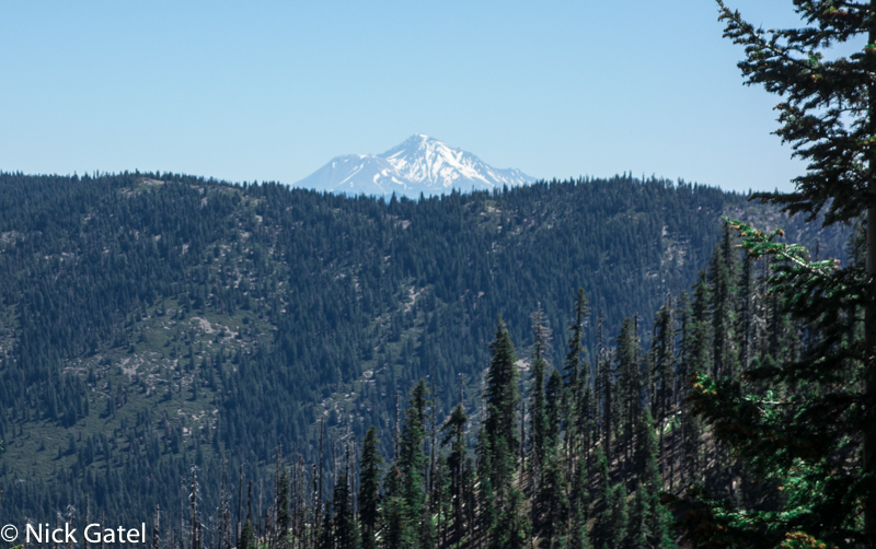
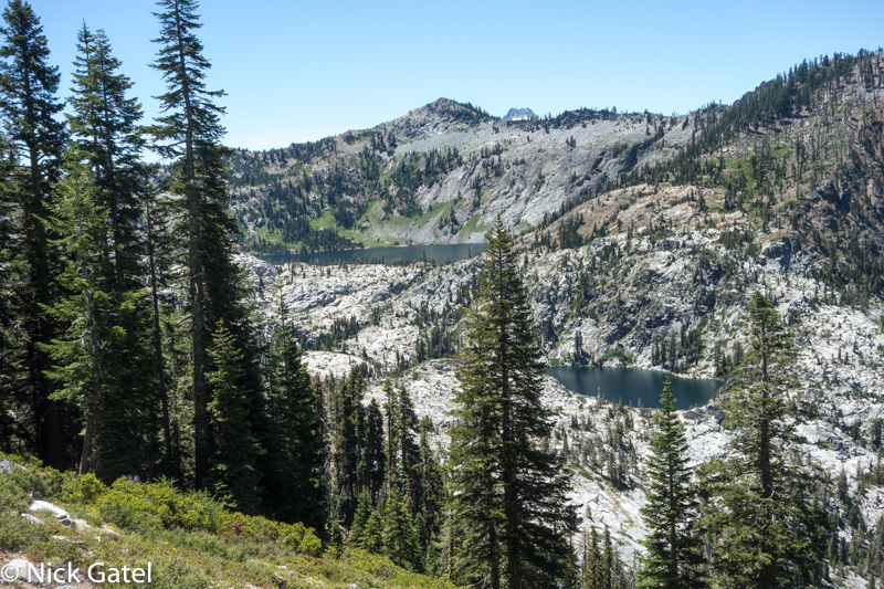
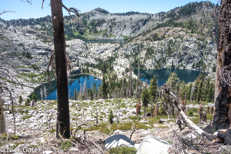
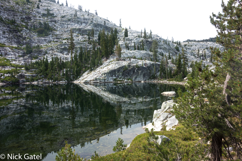
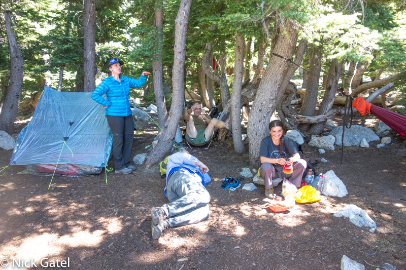
The last five miles of our hike was mostly in the sun, with temperatures in the 80’s, and the elevation over 6,000 feet. Given these conditions, most of our group decided to spend the next day lounging and swimming among at the Caribou Lakes.
Day 2
Doug and I left the group to do a loop he had put together. I have hiked with him several times (our last trip was a couple months ago ) and one can’t choose a better hiking partner. The next two days wasn’t about miles, but elevation gain and loss.
After hanging around camp with everyone, we finally got started around 10am, which would mean a lot of time hiking in the sun.
The White Alps
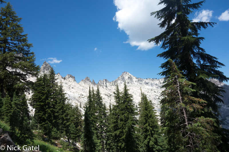
This part of the Trinity Alps is often called the White Alps because of all the granite peaks and mountains and basins. The western section is called the Green Alps reflecting the greenery of the trees, and the east the Red Alps due to the coloring of the rocks and soil. As you can see in the picture below, the granite is very white and almost looks like snow. Like the Sierra Nevada this is glacier-built country. Knife-edged ridges and smooth granite bowls with alpine lakes are the handiwork of ancient massive ice sheets.
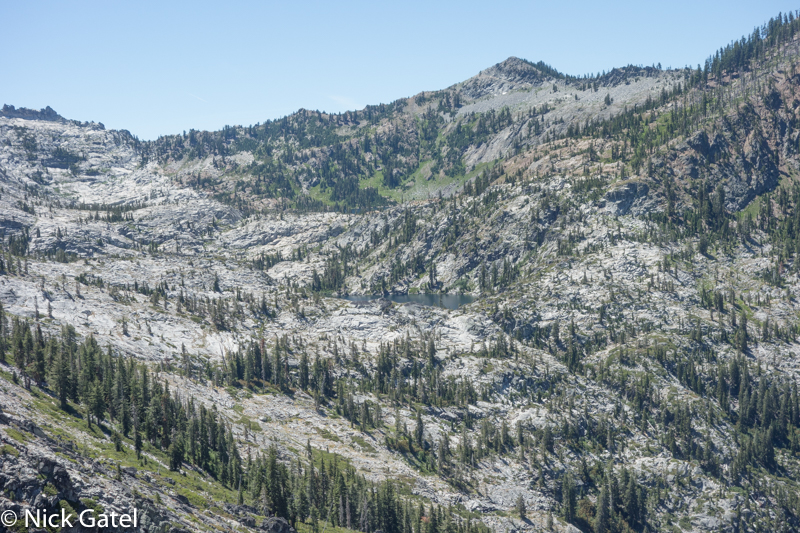
Lower Caribou Lake is in the middle of the above picture. Doug and I would hike to the saddle in the ridgeline, which is the Sawtooth Ridge – an 800 foot elevation gain from the group campsite.
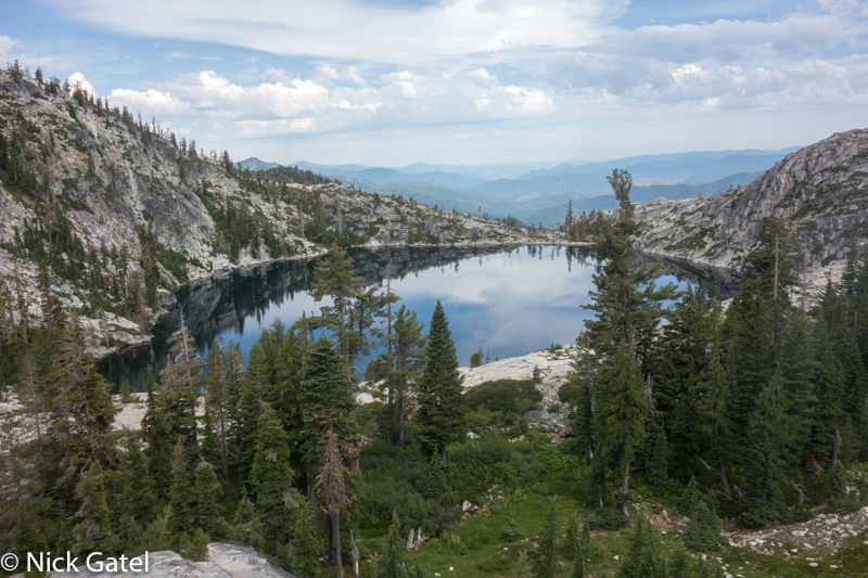
Down, Down, Down
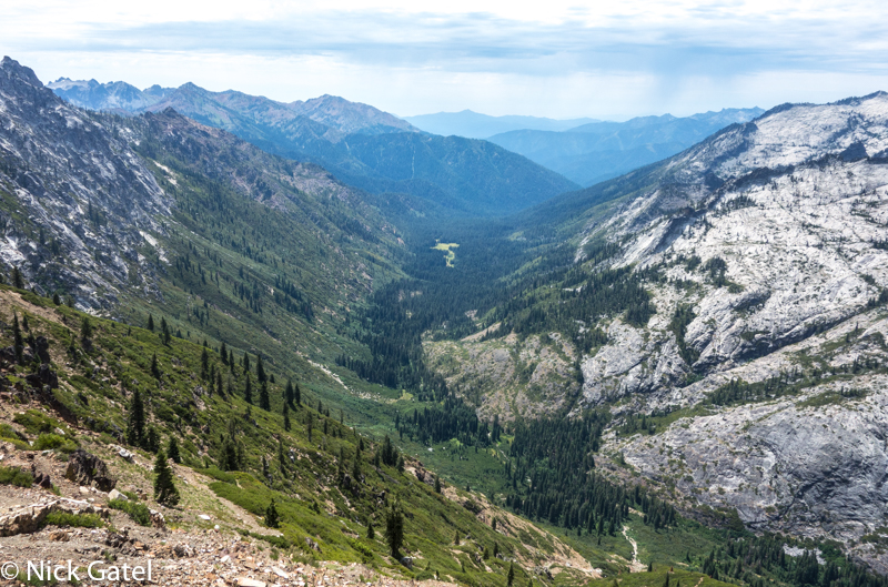
In the distance is Morris Meadow, our campsite destination. But first we need to get down to the Stuart Fork River, which is a 2,500 foot drop in about 1.5 miles. It was hot and humid. The upper part of the trail was mostly scree and large rocks, requiring slow going. But the views were fabulous!!
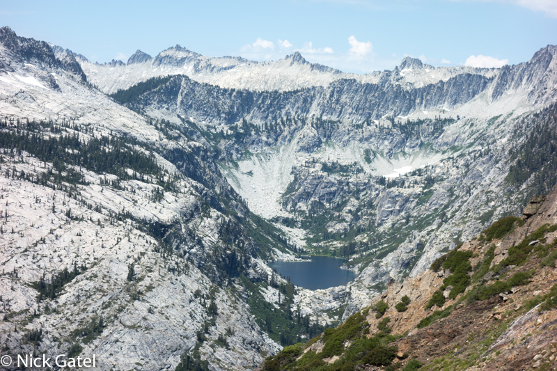
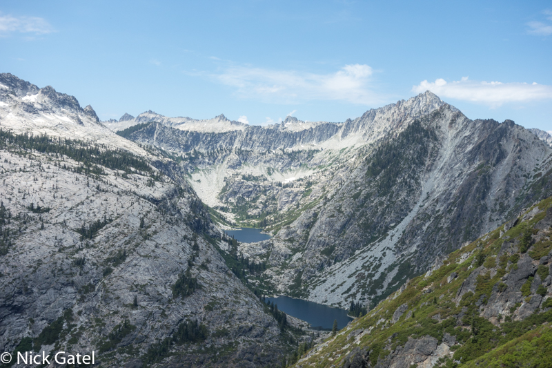
The middle section of the trail was fine, and the last section was overgrown shrubs (think tunnels) and often rocky footing. Finally, almost 100 switchbacks later, we were at Portuguese Camp and a nice shady spot by the river for a rest and water refill.
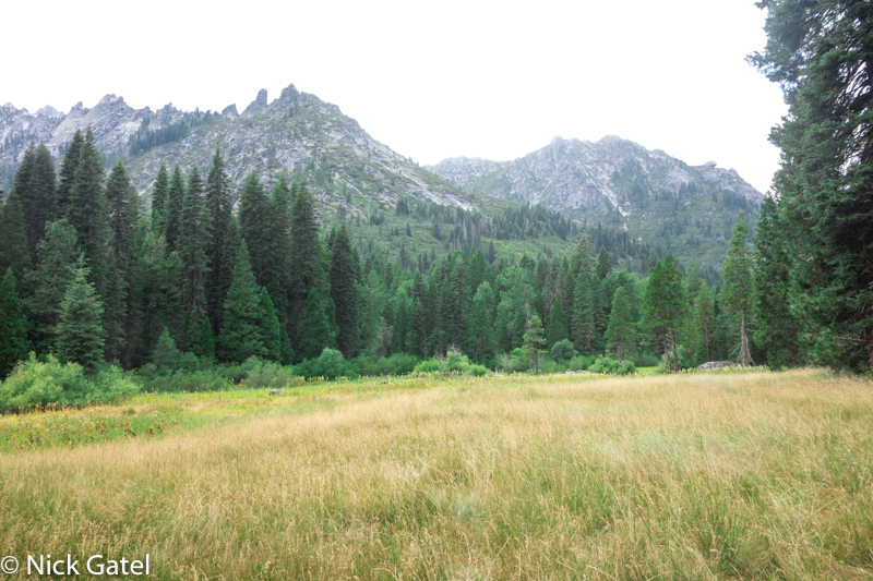
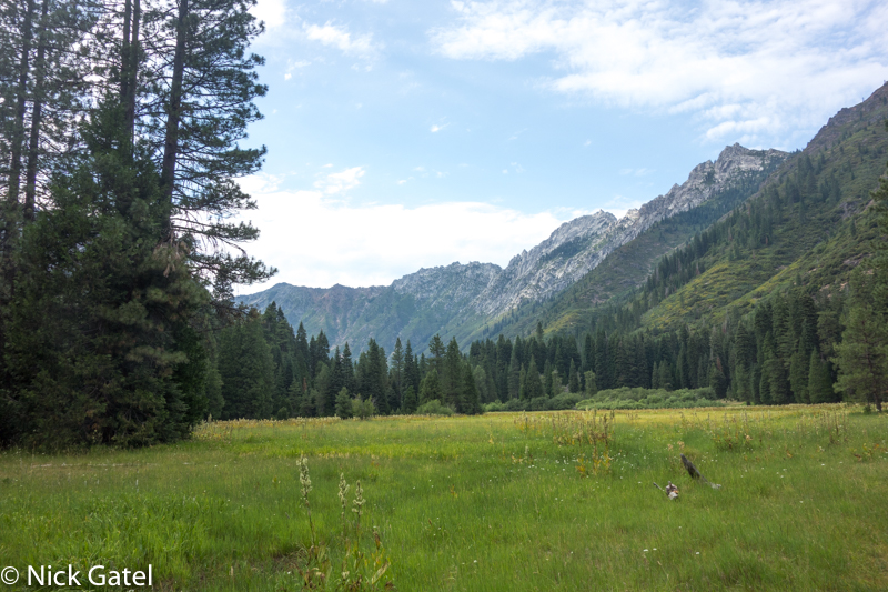
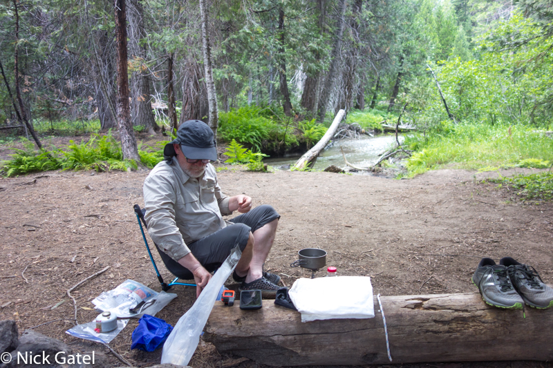
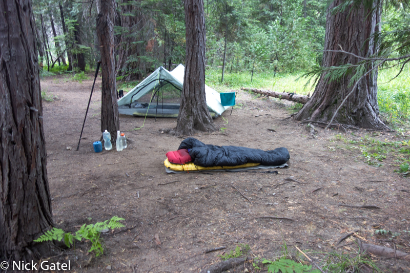
The next 4+ miles was easy walking through conifer forests and a gradual 800 foot elevation loss. We made camp at Morris Meadow Camp. Total mileage about 7.5 miles for the day. We discussed going further and even walked beyond our campsite about ½ mile to check out the Deer Creek Trail junction. But we decided the elevation gains the next day would be better if we got a good night’s sleep first.
Day 3
Right off the bat we quickly gained 600 feet, then gradually another 400 feet as we made our way along the Deer Creek Trail to the junction of the Tri-Forest Trail right near Willow Creek, which was an awesome water stop.
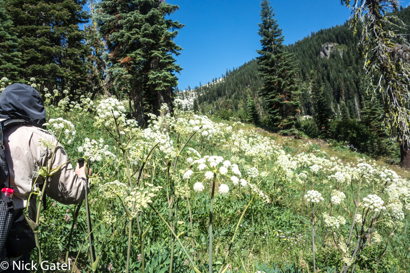
The Tri-Forest Trail starts out following the Willow Creek drainage… up!
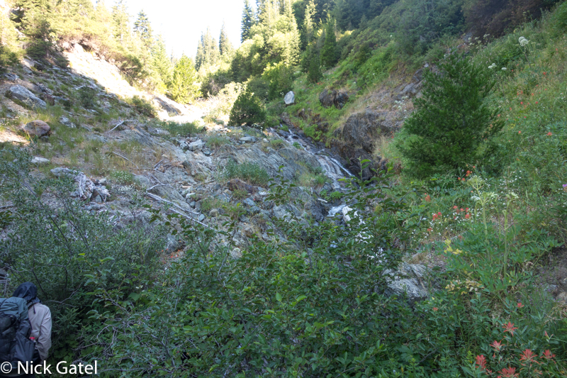
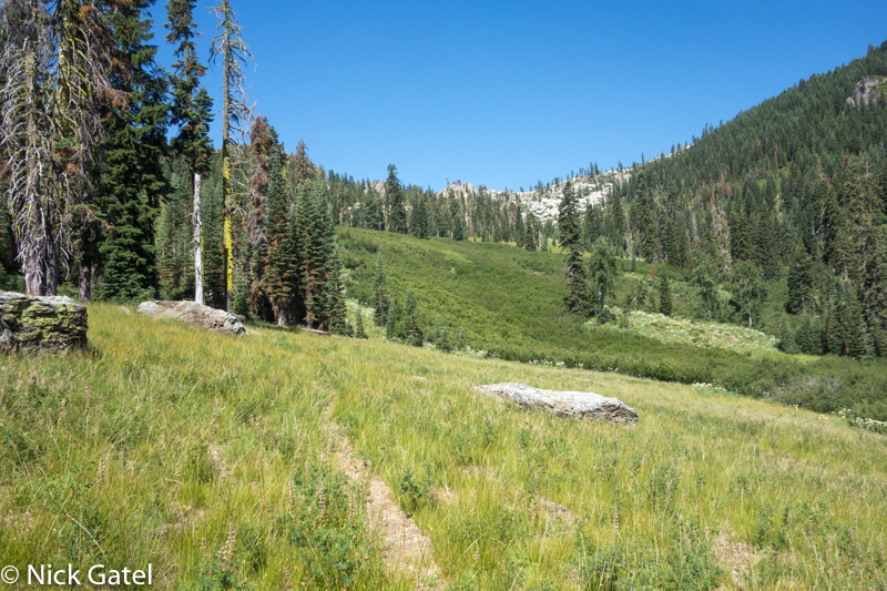
We will travel below the ridgeline heading to the right where we will climb a nice rounded hill. This gives us a nice view of Caribou Mountain and the South Fork of the Salmon River.
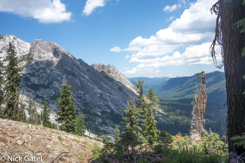
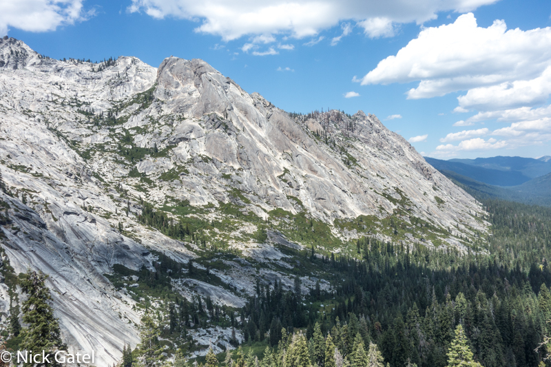
We will now descend into the South Fork Salmon River watershed, immediately descending 1,000 feet in under a mile, then another 1,200 feet over 8 miles. It was a great day. 14 miles.
3-D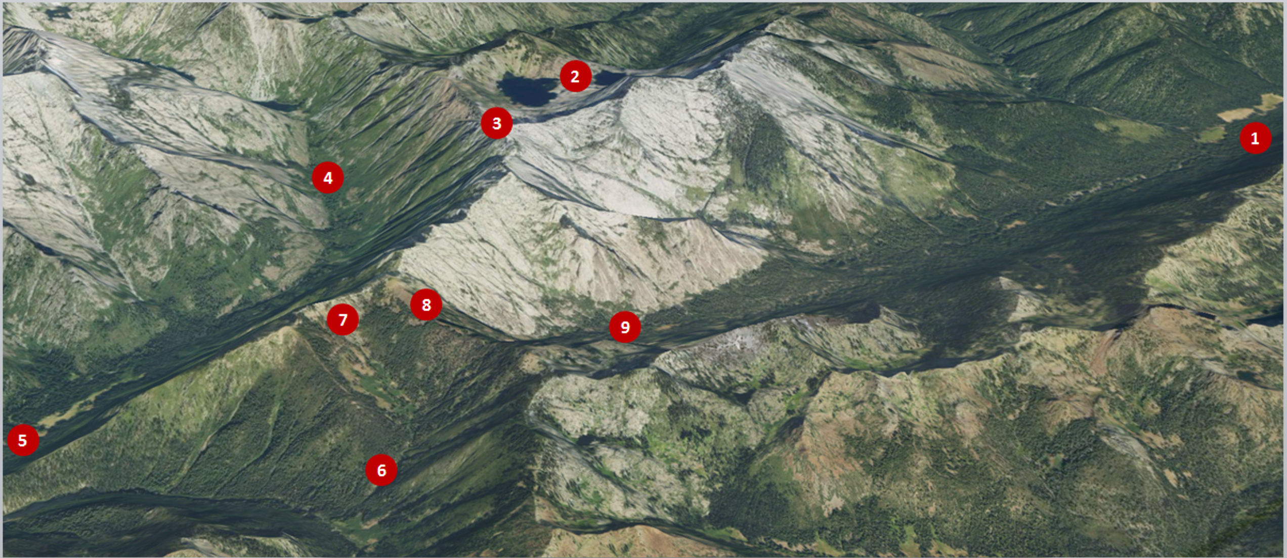
Key:
- Big Flat
- Caribou Lakes
- Sawtooth Ridge
- Portuguese Camp
- Morris Meadow Camp
- Junction of Deer Creek Trail and Tri-Forest Trail at Willow Creek
- Sawtooth Ridge (again)
- About to descend into South Fork of Salmon River Watershed
- South Fork of the Salmon River
Once we got to Big Flat we drove to Goldfield Campground to meet up with everyone else and spend the night there. We drove to a hamburger stand at a KOA for dinner.
The rest of my trip
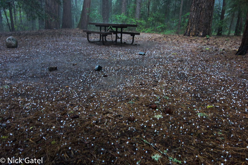
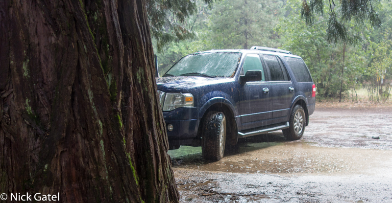
The next morning everyone left except me. I had planned to spend the night at Goldfield Campground but in the afternoon hail, thunderstorms and flooding changed my plans.
So I drove to Trinity Lake where the sun was shining and the ground was dry and spent the night. From there I spent a week along the coast in the redwoods, and then drove south to spend a night with Kat and Chris in their magical cottage in an enchanted forest. This wonderful place is also just 5 miles from the ocean with craggy cliffs and sandy beaches. What a wonderful place to live. Thanks to Kat and Chris for a wonderful day and evening!
