It’s been a while since my last post. We’ve been gone a couple of months, most of the time with limited or no cell phone service — just as I prefer.
Even if we are camped where there is cell phone service, I’m not going to post to this blog.
Technology
I guess I’m out of step with the rest of the world. Seems most people are posting on social media or blogging when on backpacking or camping trips. A high priority for me is to cut the technology umbilical cord when engaged in these kinds of recreational pursuits — thus no cell phone service is high on my list of camping necessities.
However, communicating with friends and family once you get back home is a reasonable endeavor. So here goes . . .
Trip Goals
Do these kinds of trips need goals? I don’t think so. But since we have only gone camping once since September 2020 and only twice before that with our new F-250, I didn’t want to get too far off the beaten path (e.g. dispersed camping miles from the nearest road). With record numbers of campers last summer and this one, it would take some work to avoid as many homo sapien horribilis as possible.
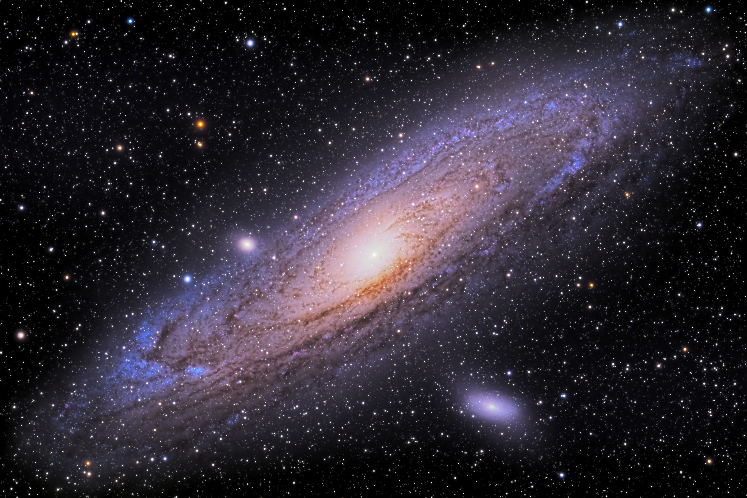
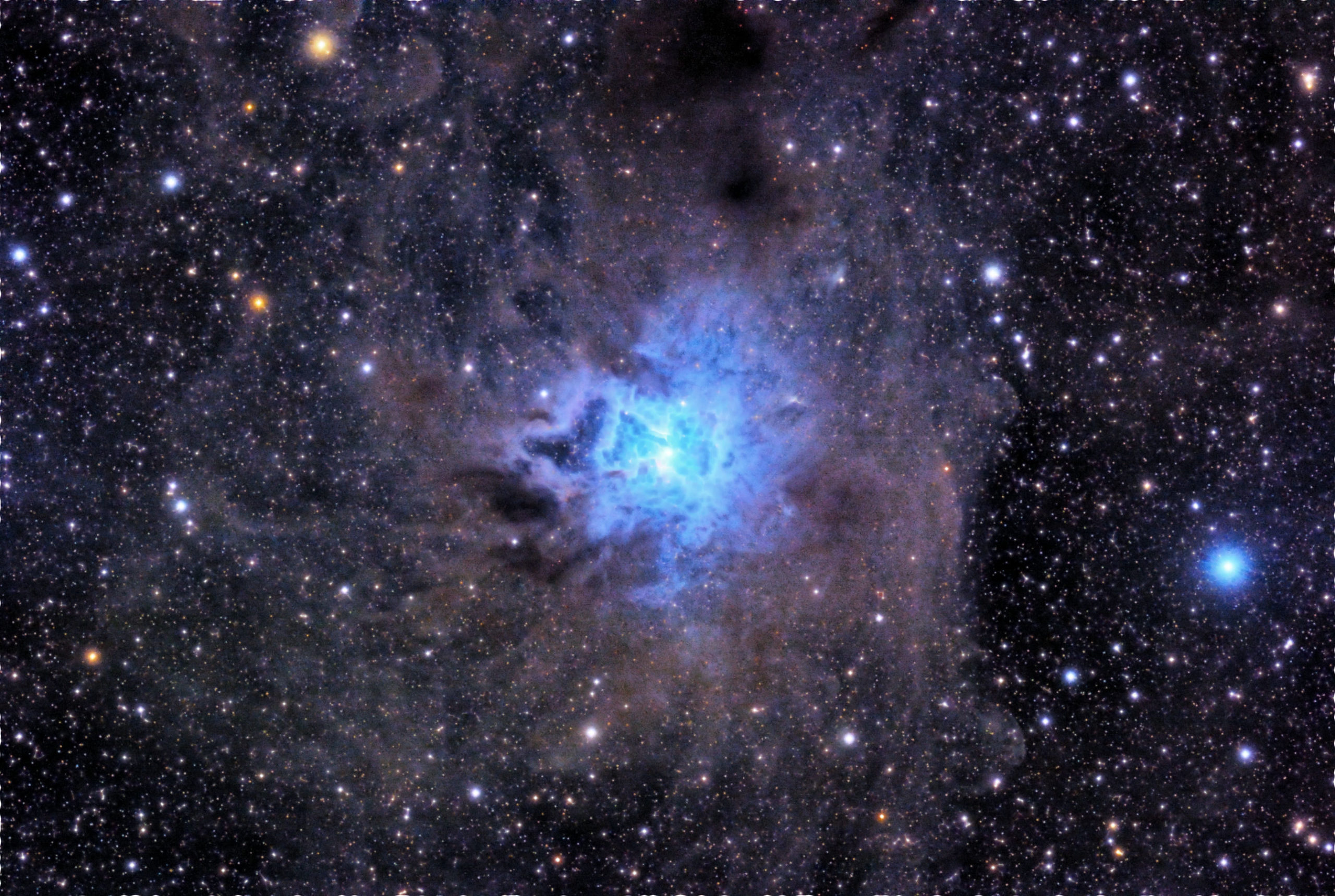
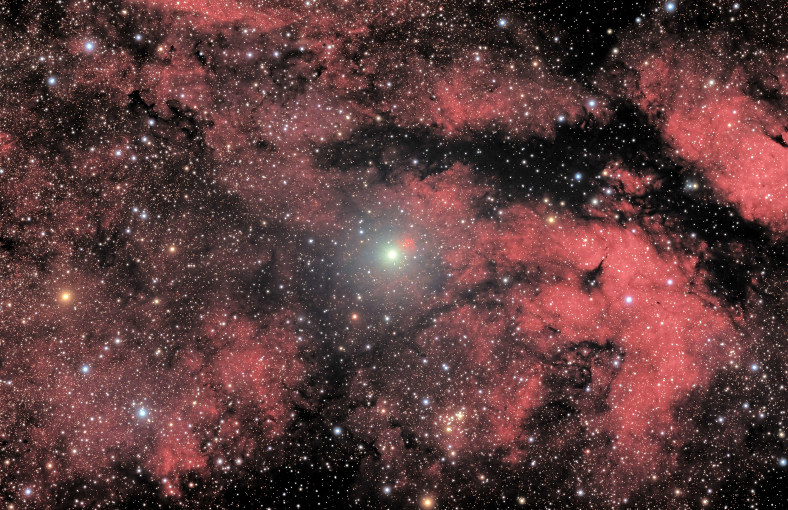
I also wanted to stay at some “dark sky” locations for a little astronomy and nighttime astrophotography.
With a loose plan we set off. First item of business was gasoline. Cheapest major brand of regular grade gas was $4.29 per gallon here at home.
Nevada Desert
Close to home and easy access, a week would be sufficient to identify any issues with our trailer or truck. Plus deserts are usually great places for stargazing.
Only it rained almost everyday or we were treated with cloudy nights. We had a great time in spite of the weather.
Leaving the campground we filled up for $3.85 a gallon. That’s 44 cents cheaper than at home.
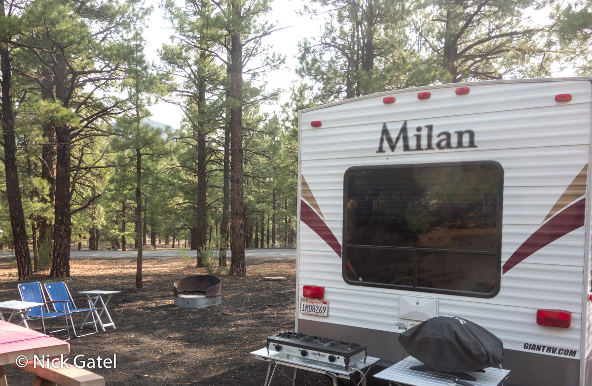
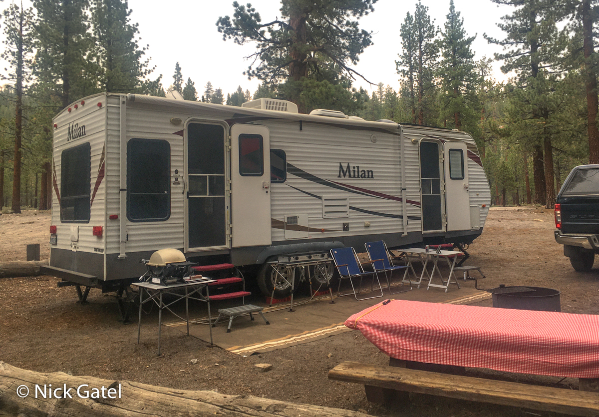
Coconino Forest Northern Arizona
When we got to Flagstaff, Arizona I found a Union 76 (a major brand I use most often) station selling regular for $3.11. Given the cost of living is high in Flagstaff and gas was $1.38 a gallon cheaper than in California, maybe it is time to leave the Golden State, as the “gold” has become tarnished with incompetent politicians.
I had made reservations (something we rarely do) to stay at a US Forest Service Campground, which keeps 50% of the sites available for “first come first serve” campers (e.g. none can be reserved). When I made the reservations, I was surprised that few of the available sites had been taken for the two-week period we would be camping.
I later found out the entire forest had been closed from the end of June until a week after the 4th of July holiday. Reason being the USFS didn’t want any campers (or other activities) in the forest during this period, because too many people are idiots and can’t grasp the concept that fireworks and forests don’t mix.
Another attractive aspect of this campsite is it is located in a “designated” dark sky area. (See International Dark Sky Association). One a scale of 1-9, 1 being the darkest and 9 the center of a large metropolitan area, a Dark Sky Area is a 1. A 1 designation is the best location for astronomy and there aren’t many of these dark places left in the lower 48.
Only, there was one minor problem: monsoon season. It rained every single afternoon for two weeks and the nights were cloudy. Didn’t even unpack my telescope. And, of course, great weather was forecast starting the day we left the campsite for the next leg of our trip.
The days were nice most of the time; the campground was nearly empty during the week, and nowhere near full on weekends.


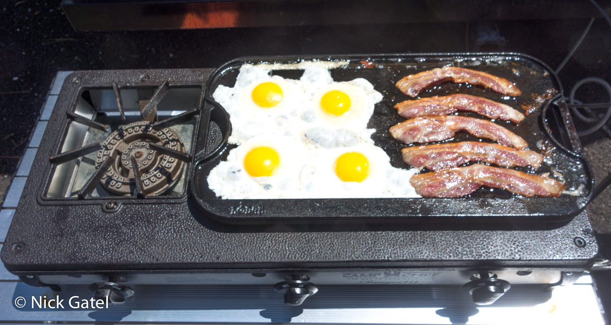
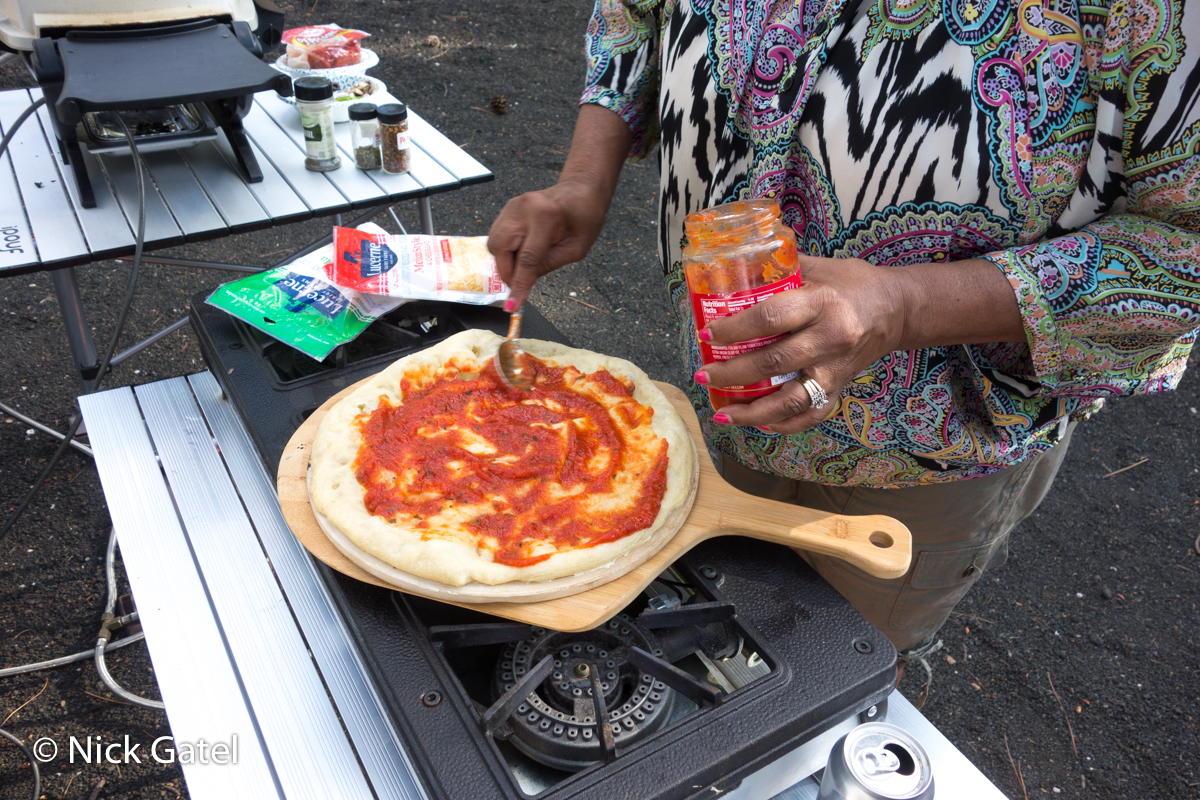
We lounged around outside, went for hikes, and did camping stuff everyday.


Dispersed Camping
One goal was to check out some of the dispersed camping areas in Northern Arizona (there are thousands). We found several that were secluded and accessible with our full-size truck and 30-foot travel trailer (bumper to hitch). Our next trip will be to one of these free camping spots. I’ll be talking more about this in a few days when I layout my method of finding remote camping spots.
Next Up: Inyo National Forest
No real plan for a camping location. There are many dispersed camping areas in the Inyo National forest, plus a couple US Forest Service campgrounds that are free. The free campgrounds do not have water. They do have pit toilets and dirt roads.
Gas was expensive along California Hwy 395. $4.45 in Victorville, $4.59 in Bishop, and $5.25 to $5.65 from Mammoth Lakes all the way north to the California-Nevada Border.
On this trip I was thrilled we opted to get a large truck with a 48-gallon gas tank. Aside from the extra range, using an App called GasBuddy I could find the least expensive gas at the right locations along our 3,000+ mile trip.
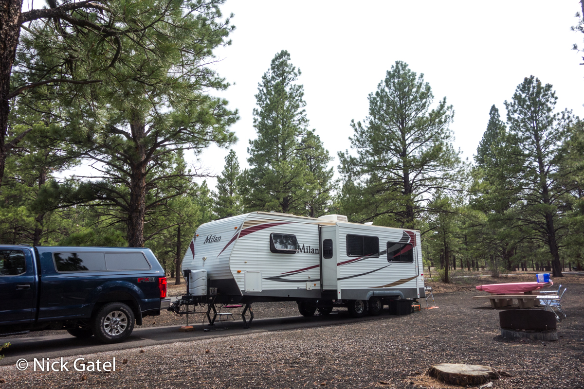
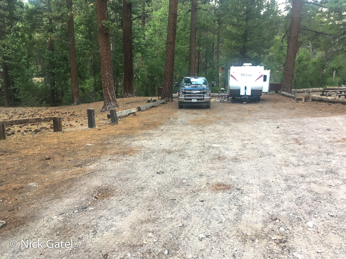
Considering the high gas prices and uncertain air quality in Inyo National Forest from the Dixie Fire, I decided to first stop at a large free USFS campground expecting it not to be crowded. I was correct. This campground is huge with 66 campsites, most of which are large enough for any size RV with room to spare.
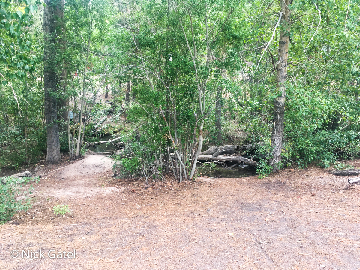
We stayed at site at the rear (think secluded) of the campground. We were 100 feet from a creek, had a small meadow on one side. On the other side was a campsite and over a two-week period it was occupied for only one night. There we no campsites on the other side of the road from our location.

The first couple days the air was smoky from the Dixie Fire. A couple evenings of rain showers cleared the air, and then finally . . .

Onward to the Coast of Northern California
Time to visit my daughter and her family for 10 days.
This section of the trip required driving up and over the Sierra Nevada Mountains. For two reasons I decided to head north on Hwy 395 into Nevada and up through Carson City and Reno to connect to Interstate 80.
The first was lower gasoline prices. I paid $3.80 a gallon for Chevron gas in Carson City.
The second was all the other roads across the Sierra are two lane twisty routes. Combined, the total length of our truck and trailer is 52 feet and the Interstate would just be easier and less tiring to drive. Besides, the distances of all my options were about the same mile-wise.
This drive is over 500 miles. It just made things easier to break this leg into two days staying at a state park campground at the end of the first day.
![]()
![]()
![]()
My daughter and son-in-law own a large house on a one-half acre lot. There was plenty of room to park, so we stayed in our camper. Every morning the grandkids came into the camper for breakfast. Afternoons the whole family sat outside the camper to visit. Almost camping, plus we could Arcata Bay from our “campsite.”
None of the nights were conducive to sky gazing and the telescopes remained packed in our truck.
After our family visit, we headed back towards the eastern Sierra Nevada, spending another night at the same state park and even the same campsite. We headed out early the next morning for destinations unknown, but probably back somewhere in the Inyo National Forest.
All National Forests in California Closed!
We traveled east on Hwy 20 to Interstate 5, then towards Interstate 80.
Just before we got to I-80 Joyce got a notification on her iPhone that the US Forest Service had closed all the forests in California.
We pulled over at the next rest stop to figure out our options, since we really weren’t ready to go home. It had been nice spending 6 weeks in really cool climates and temps in Palm Springs were still averaging above 110F.
USFS Region 5

The Forest Service has divided the lower 48 states into nine regions. California, Region 5, is the only state to comprise a single region. So that eliminated most of the state. At the time it was unsure to us if the National Park Service and the Bureau of Land Management would follow suit. Things weren’t looking up. And then I remembered . . .
Humbolt-Toiyabe National Forest
This is the largest forest unit in the lower 48 states. Most of it is in Nevada, but a small portion is in California, mostly on the eastern slopes of the Sierra Nevada. This forest is not part of Region 5, but is in Region 4 that includes Nevada, Utah and parts of Wyoming and Idaho.
Checking the USFS Humbolt-Toiyabe website, there was no mention of any widespread closures. Although I did find that anything near Lake Tahoe was closed due to the Caldor fire.
We decided to continue on, hoping the campgrounds I knew about in the California side of Toiaybe were open. We again stopped in Carson City for gas in the afternoon and the air quality was extremely poor. Around 5PM we drove through Minden, Nevada where the sky had turned to twilight from the Caldor fire smoke. Streetlights and vehicles with automatic sensors were all turned on. Things suddenly looked worse for continuing our road trip.
We continued driving south on 395 until we got to the first campground I had in mind. It was open. There air wasn’t great, but much better than we had experienced in Minden. The sky was blue, but looking north we could see the ominous dark smoke clouds from the Caldor fire.
We would end up spending the rest of our trip here, about 65 miles north of our previous campsite in Inyo National Forest.
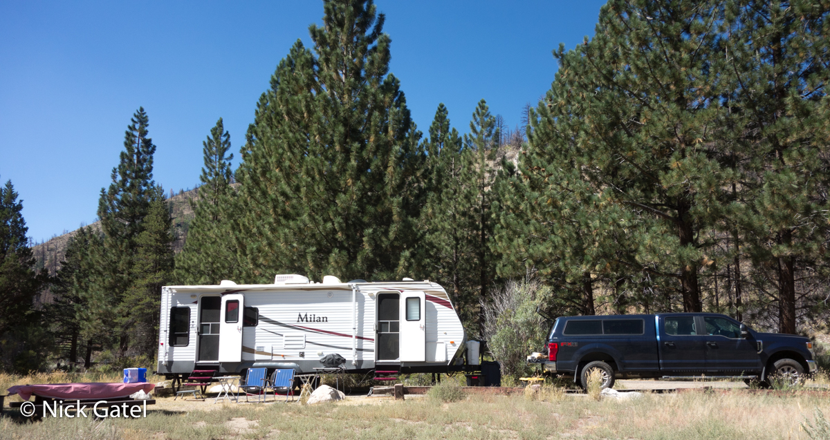
The entire time of our stay, the campground never exceeded 30% capacity except Labor Day weekend when about half the sites were taken.
19th Wedding Anniversary
As we have done almost every anniversary, we spent it camping.

Joyce brought a small cake, ice cream and nice candles to celebrate
The Night Sky
We had seven nights of great skies during our time in the Humbolt-Toiyabe forest and I imaged each of those nights.